
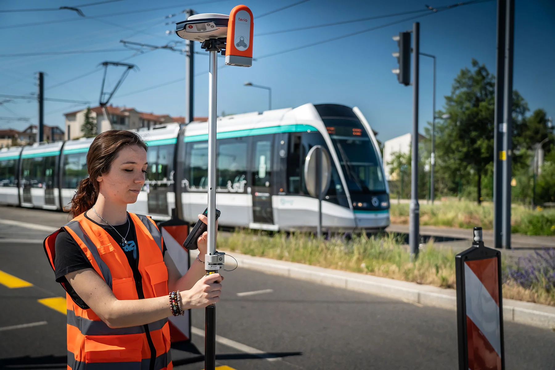

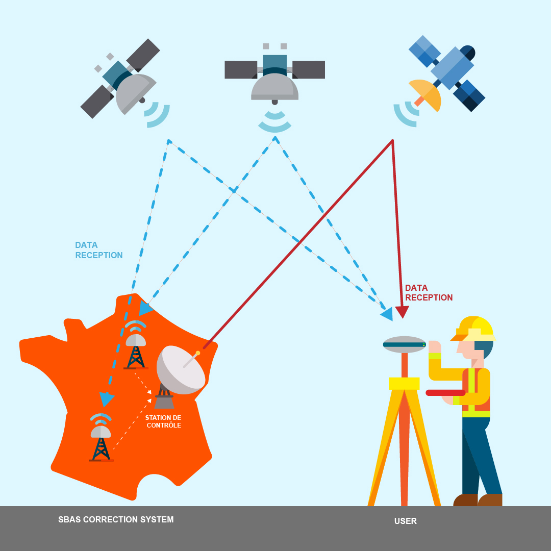
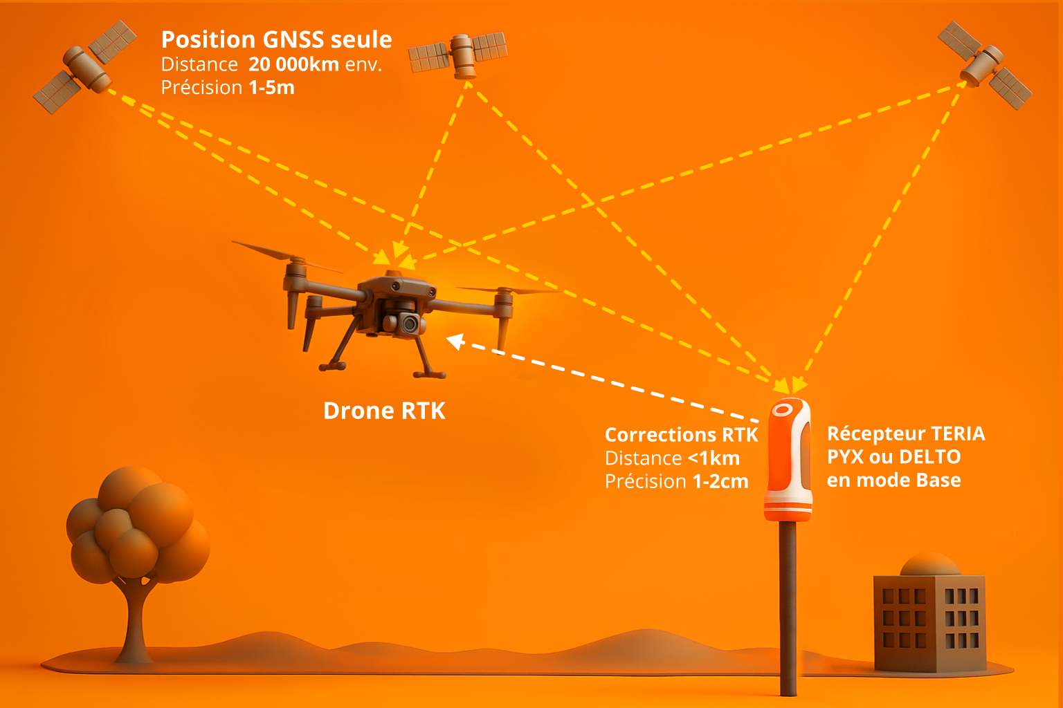
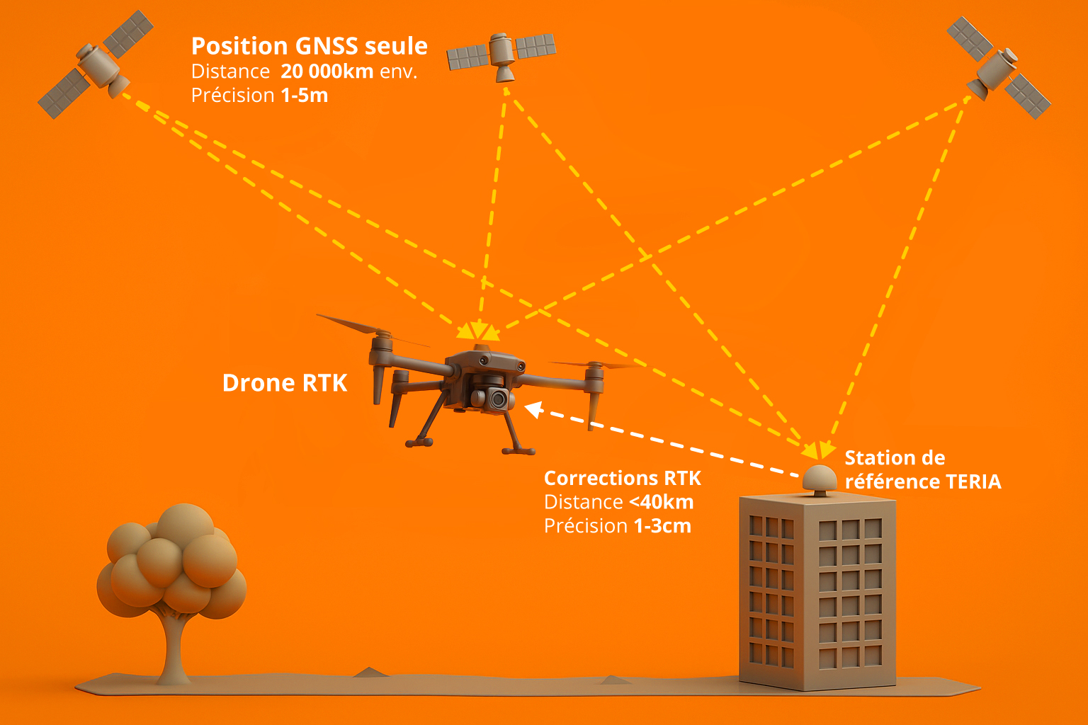
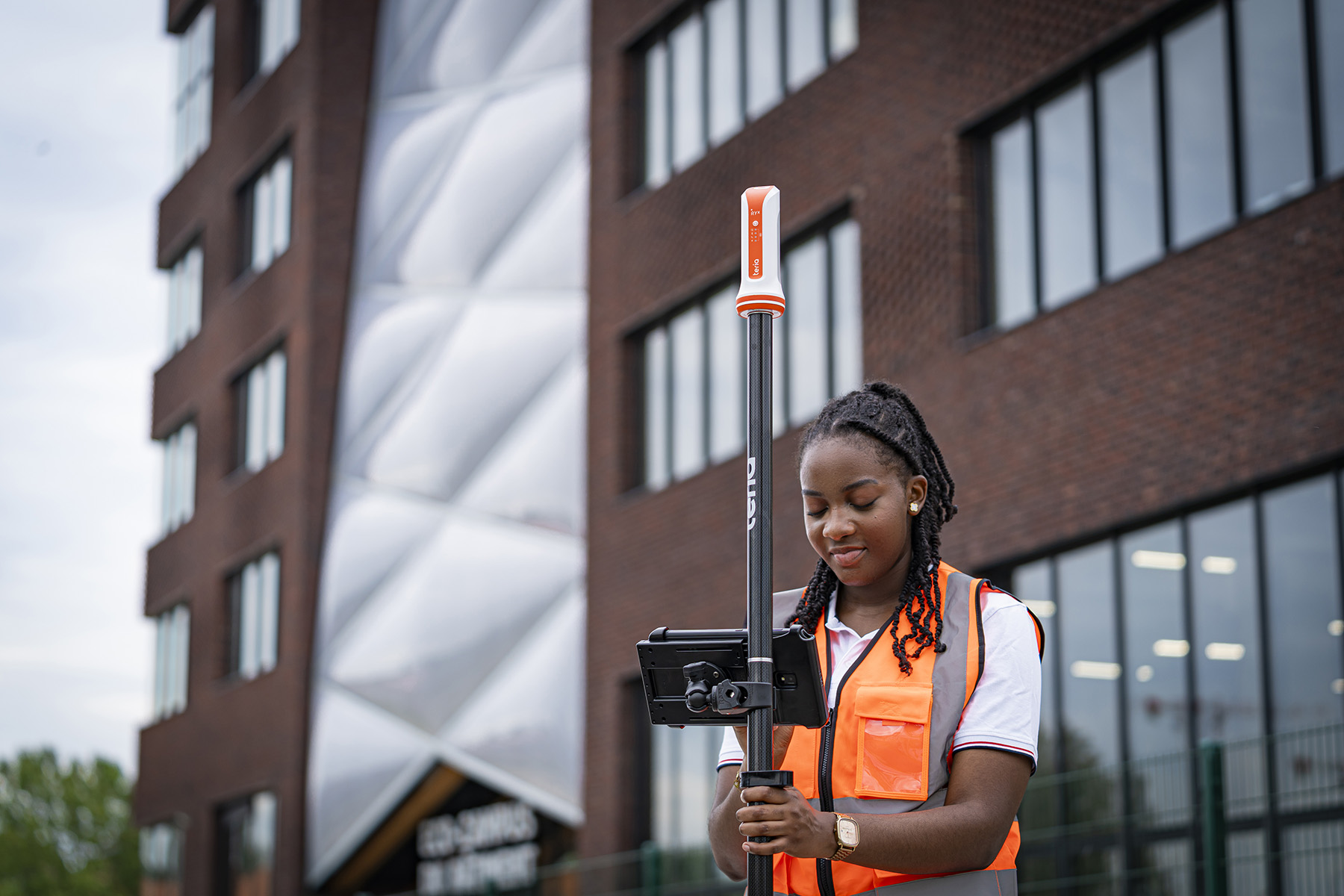
The principle of this association is the same as the classic PPK, but instead of using a physical station, we will use a virtual RINEX file generated by a service such as TERIA Virtual Rinex or equivalent.
This file is positioned exactly on the drone’s take-off point, and is generated retrospectively with a quality that can be equivalent to that of a physical base (if network coverage is good and geodesy is mastered).
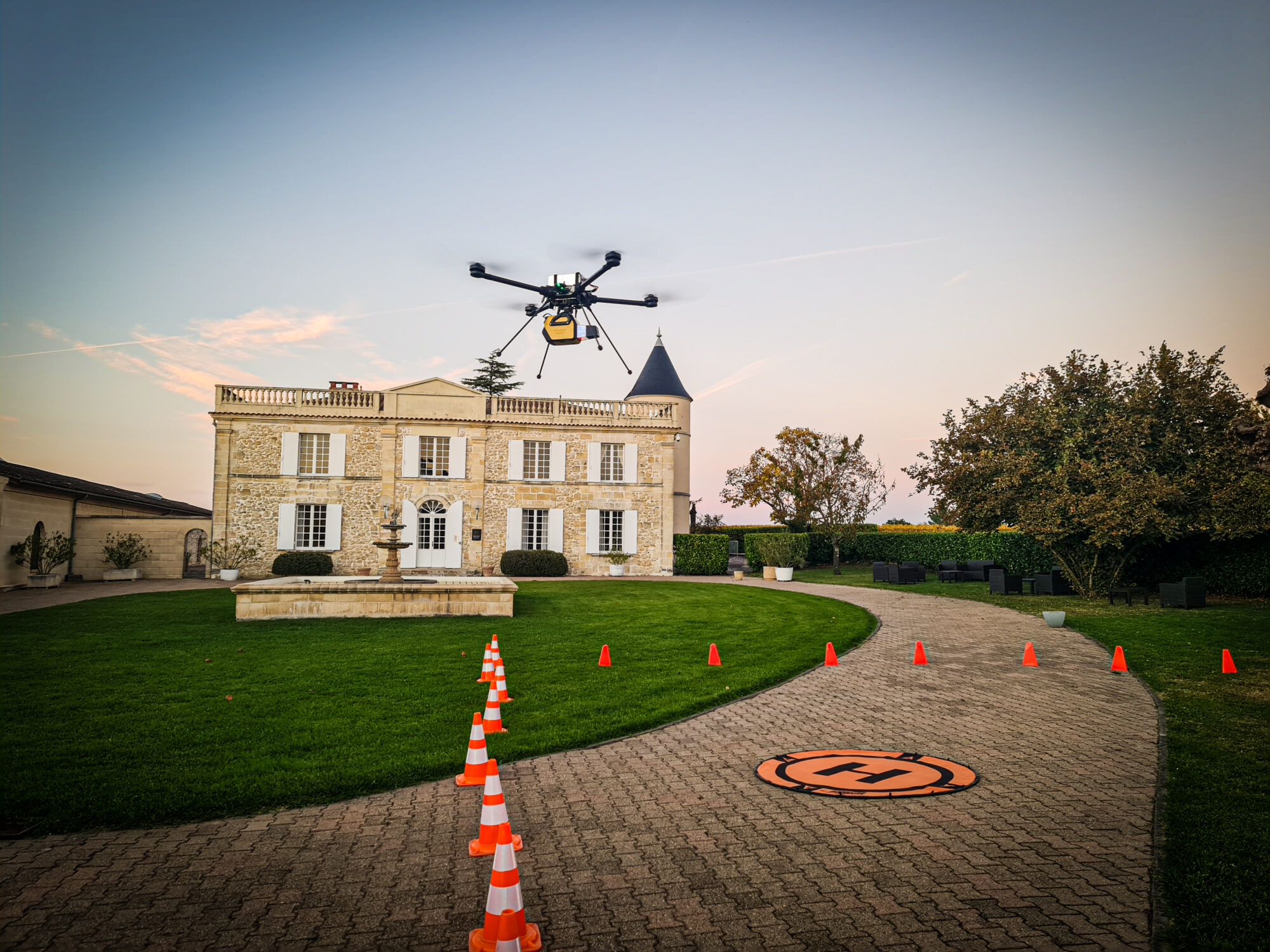
The advantages of this technology are that it saves time, because there’s no need to install a GNSS station on a tripod, or to ensure a stable connection with the drone.
The other advantage is that it minimises the baseline (distance between drone and base) and therefore improves the accuracy of PPK post-processing.


Did you enjoy this article?
Feel free to share it.