


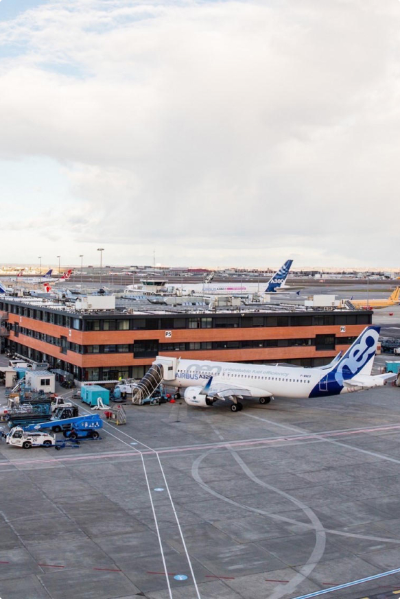
TERIA services are designed to meet positioning requirements in a wide variety of fields.
TERIA services are designed to meet positioning requirements in a wide variety of fields.
TERIA services are designed to meet positioning requirements in a wide variety of fields.
 +
+
+
+
+
+
+
+
+
+
+
+
+
+
+
+
+
+
+
+
+
+
+
+

topography, cartography, agriculture, construction, GIS, machine control, robotics, connected objects, etc.

TERIA offers increased expertise to all its users through personalised support, ongoing technical assistance and constant optimisation of its infrastructures.
We have integrated the best technological solutions and processes to offer you an accurate, secure and innovative service, wherever you are.
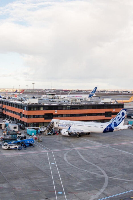
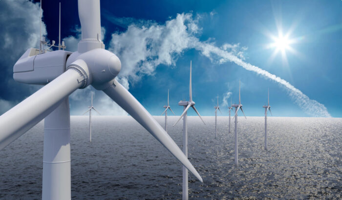
.01 Air
Applications dedicated to the air environment concern civil aeronautics.
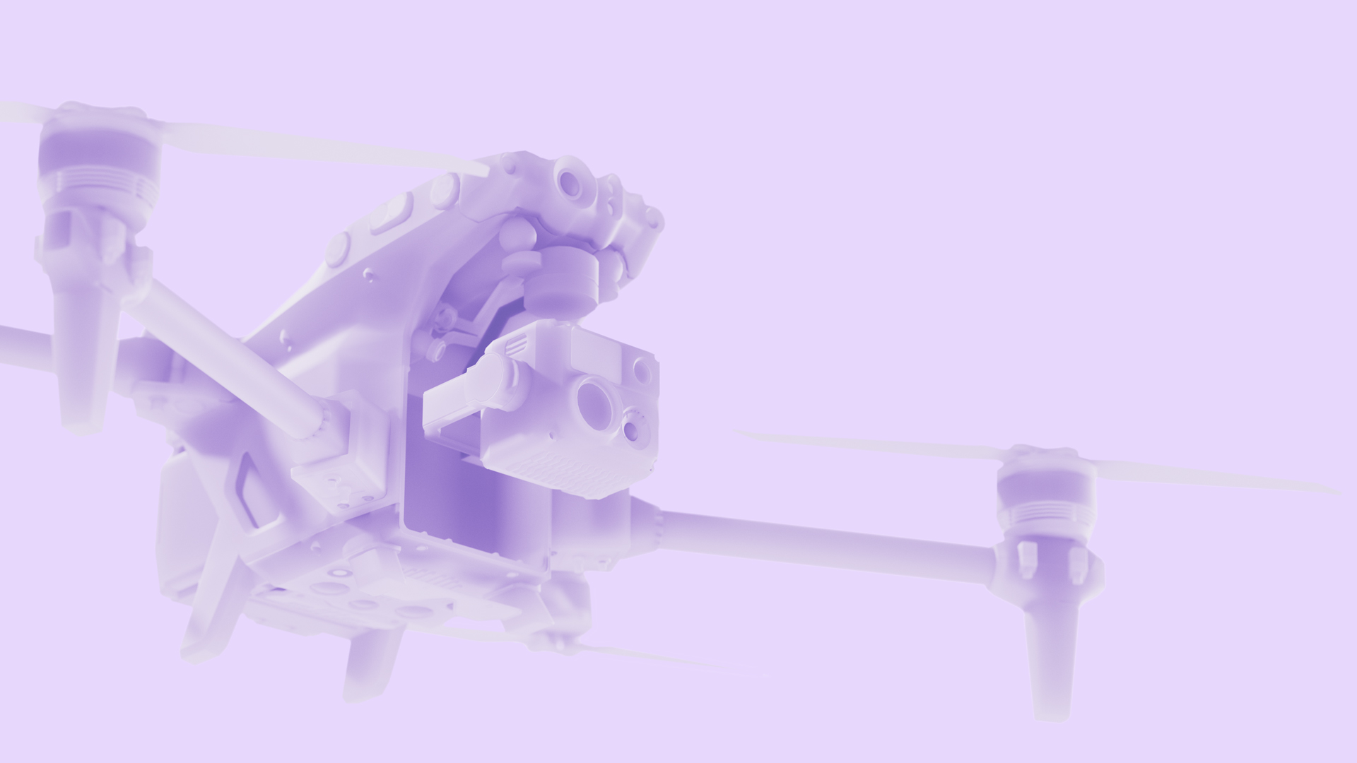
Applications dedicated to the aerial environment enable reliable precision navigation for quality surveys and measurements via all types of platforms such as drones, aeroplanes and helicopters.
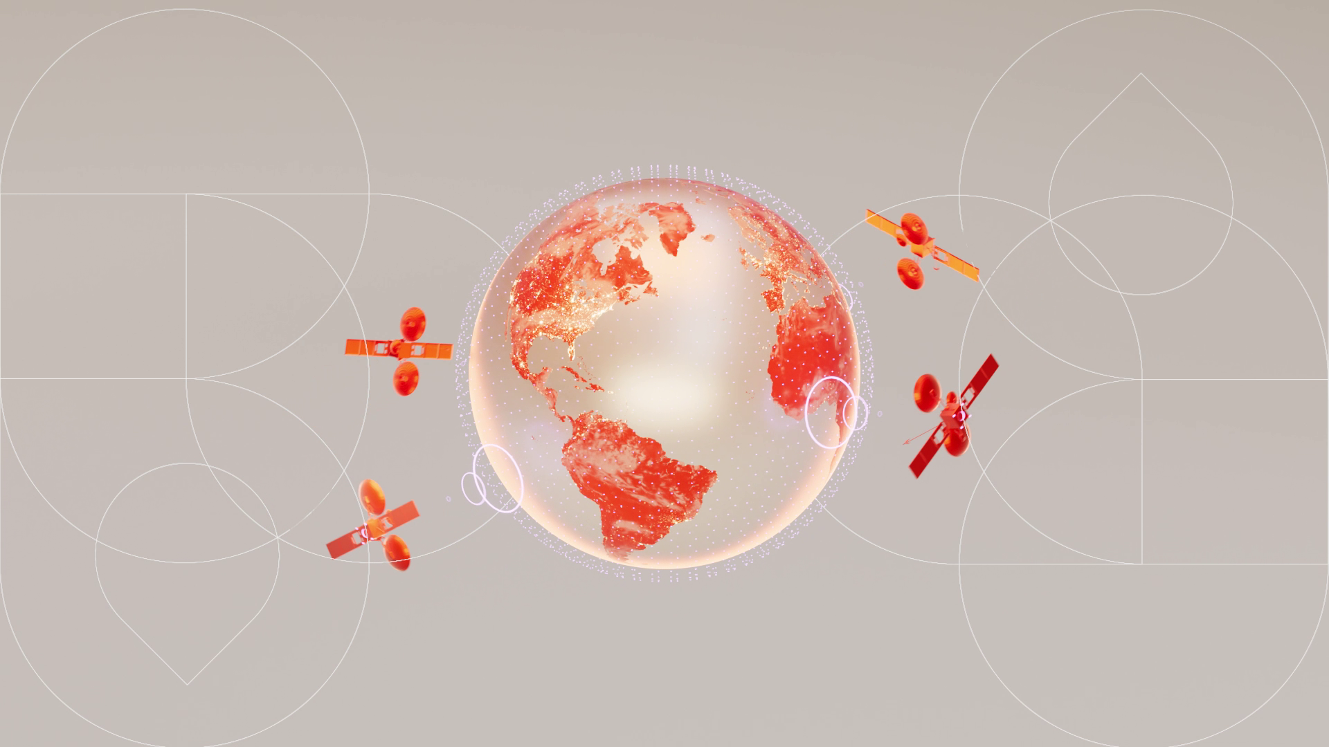
Our services meet the need for precise positioning for all in-flight applications. So whatever your equipment, there’s a solution to meet your needs. TERIA solutions make real-time corrections possible via the Internet. Thanks to the TERIAsat service, which broadcasts L-band corrections, you can enjoy reception independent of any terrestrial link and benefit from a centimetre-precision real-time positioning service.
We also offer post-processing solutions for calculating precise trajectories, either by supplying Rinex files or by processing raw data.
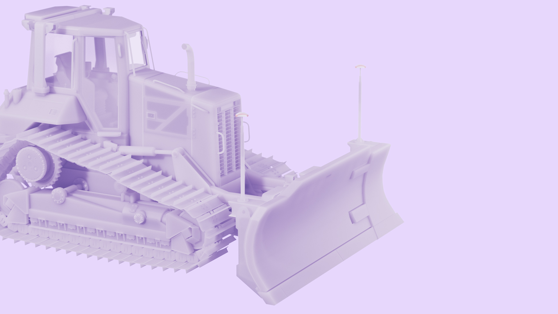
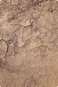
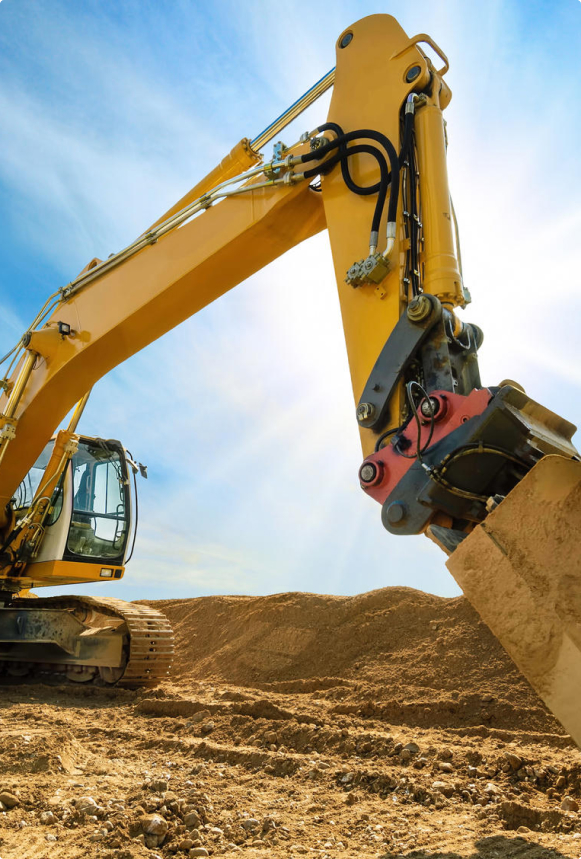
.02 Earth
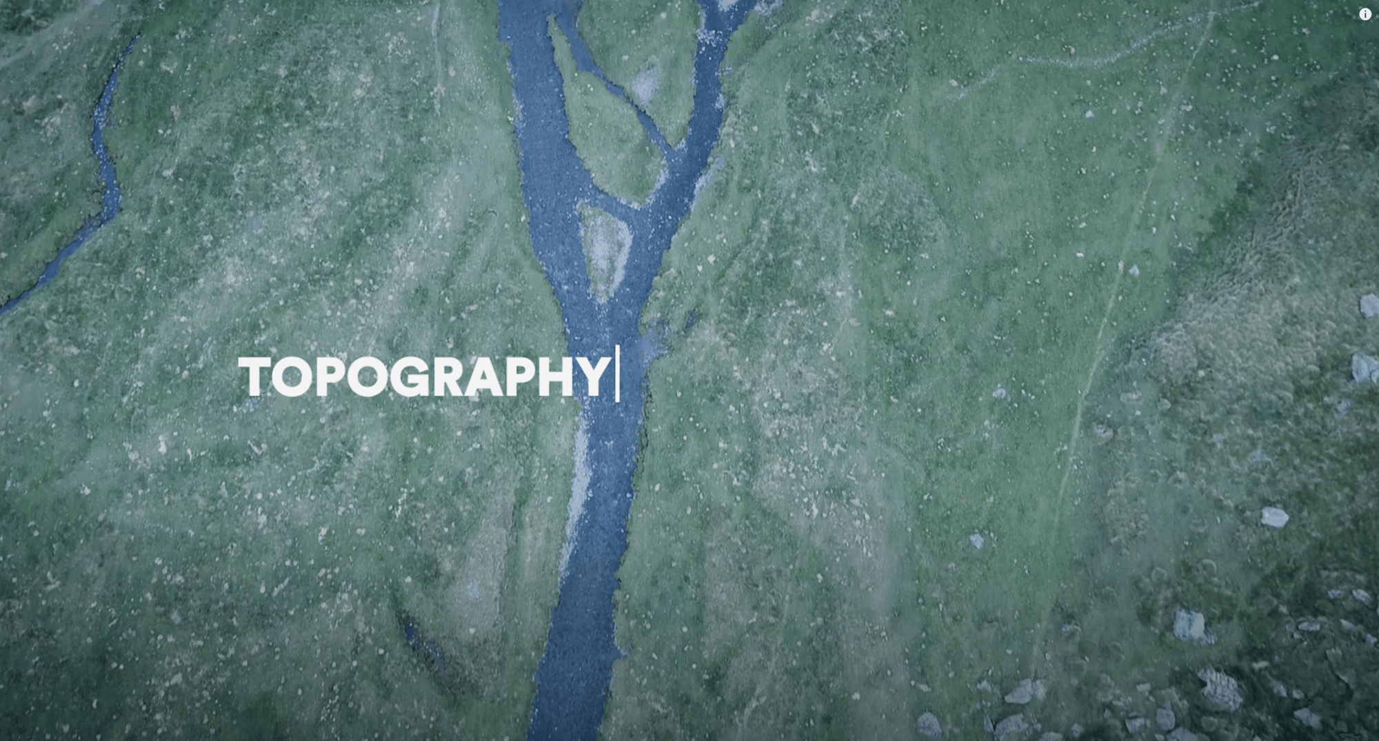
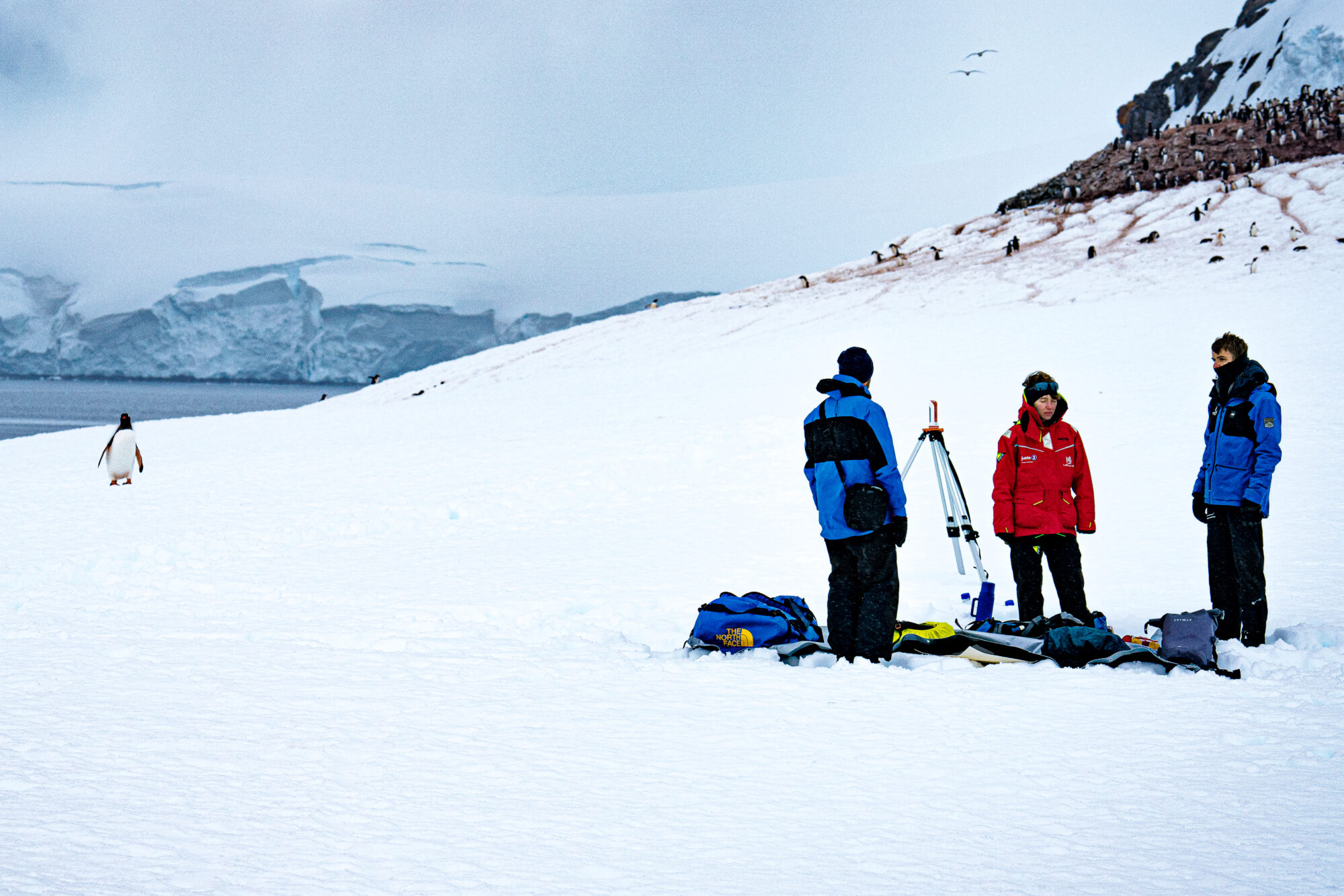
Applications dedicated to the terrestrial environment include public works, agriculture, topography and industrial robotics.
Terrestrial “business” applications enable highly accurate measurements to be taken even in restricted areas not covered by the telephone network.
In addition to traditional topographic needs, more and more equipment requires precise positioning, such as robots in the agricultural sector, driver assistance systems or guidance systems for the visually impaired.
In precision agriculture, for example, the application can be used to delimit plots, locate and date seeds, regulate chemical treatments, etc. In transport and mobility, this solution will optimise journeys, delimit maintenance, resupply or breakdown sites, monitor journeys and locate goods. Rail transport also uses this technology to track trains and manage waiting times.
As a result, the range of applications has expanded to include geodesy, topography, public works, GIS, robotics, precision agriculture, autonomous vehicles, archaeology, smart cities and personal tracking.
Precise positioning in real time is becoming an everyday requirement. TERIA helps to meet this need by offering high-availability services, making it a key player in geolocation.
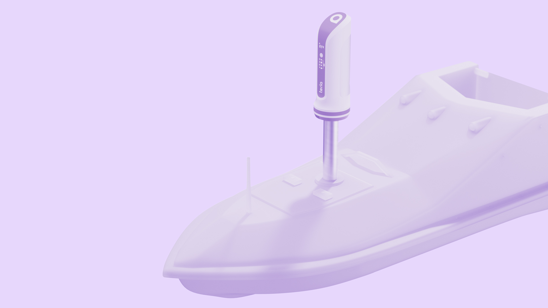
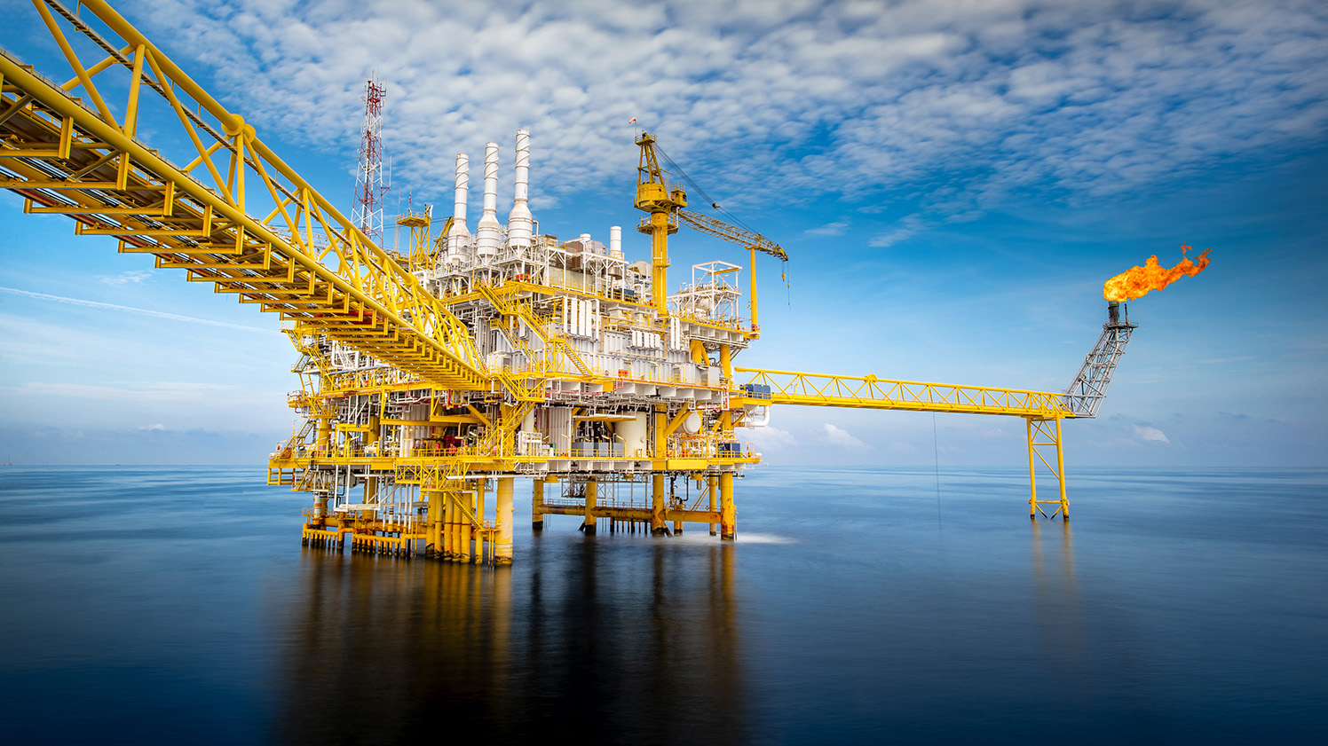
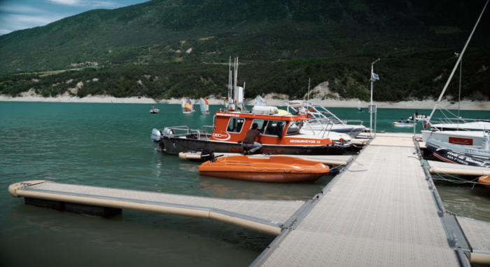
.03 Water

Applications dedicated to the maritime environment include bathymetry
(surveys of the seabed) and offshore activities.
Marine applications help to improve the quality, accuracy and productivity of surveying and navigation operations at sea, on lakes and rivers…
In particular, they can be used for bathymetric surveys, boat guidance missions (hydrographic vessels, fishing boats, pleasure craft), fleet management and all types of maritime navigation. TERIA services offer a reliable and accurate solution to this need.