- Technical
16/01/2025





 +
+
+
+
+
+
+
+
+
+
+
+

Discover
all our
latest news…
On 25 and 26 September 2026, we made our way back up to the foot of the north face of Mont Valier for a new survey of the Arcouzan glacier. After the scorching summer we’d just been through, we were expecting the worst. To our surprise, the glacier is still there, and looking rather healthy.
New Mont Blanc surveying campaign 2026.
The altitude of Mont Blanc in 2026: 4,807.47 m. TERIA was at the summit with the French Expert Surveyors, and for the first time we were able to see beneath the ice.
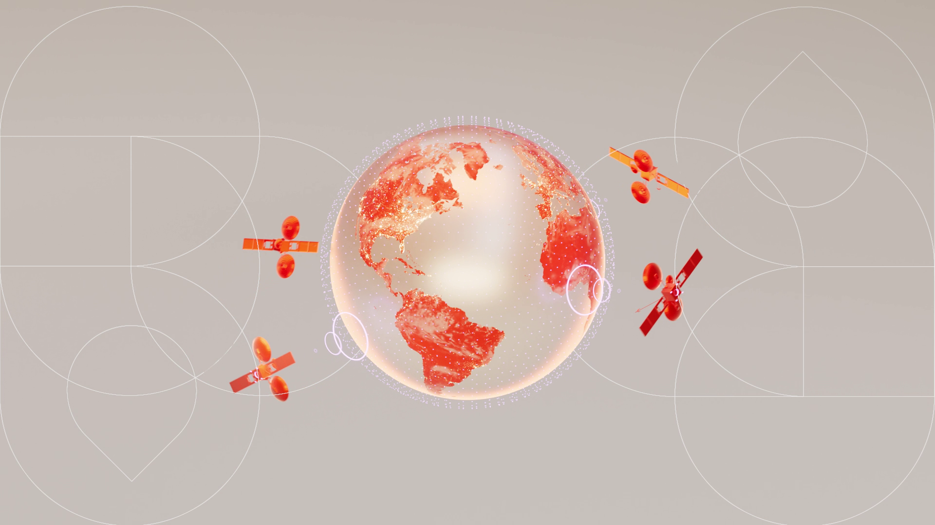
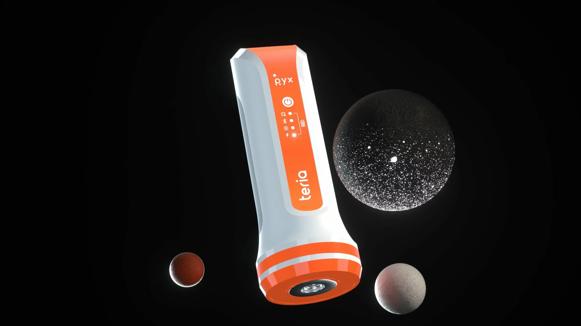
“GPS RTK”. You’ve typed it into Google, you hear it on construction sites, you read about it in product specifications. And yet, this term is a misnomer. What you’re looking for does indeed exist – real-time centimetre-level positioning – but its proper name is GNSS RTK. At TERIA, we correct satellite signals all day long. So we might as well get the terminology right too. Here’s why.
On Thursday 26 March 2024, the 4th edition ofthe ESGTrail took place, a student race organised in collaboration between the Topo Sans Frontières (TSF) association and the ESGT Sports Office.
Much more than just a fundraising event, this year’s race carried a powerful message: sport as a vehicle for well-being, cohesion and commitment. With the aim of supporting future surveying missions in Sri Lanka and Guatemala, the students were keen to demonstrate that sporting achievement and solidarity go hand in hand.
Let’s take a look behind the scenes of this extraordinary day!
GNSS station stability :
the invisible factor that directly impacts your measurements. With NRTK, your final accuracy depends directly on this foundation. If the CORS station moves, the drift is propagated and amplified to your receiver…