Ask for a
Quote
You would like to purchase PYX, our versatile MADE IN FRANCE GNSS solution that adapts to your needs according to your sector of activity. Please fill in this form and one of our experts will contact you as soon as possible.
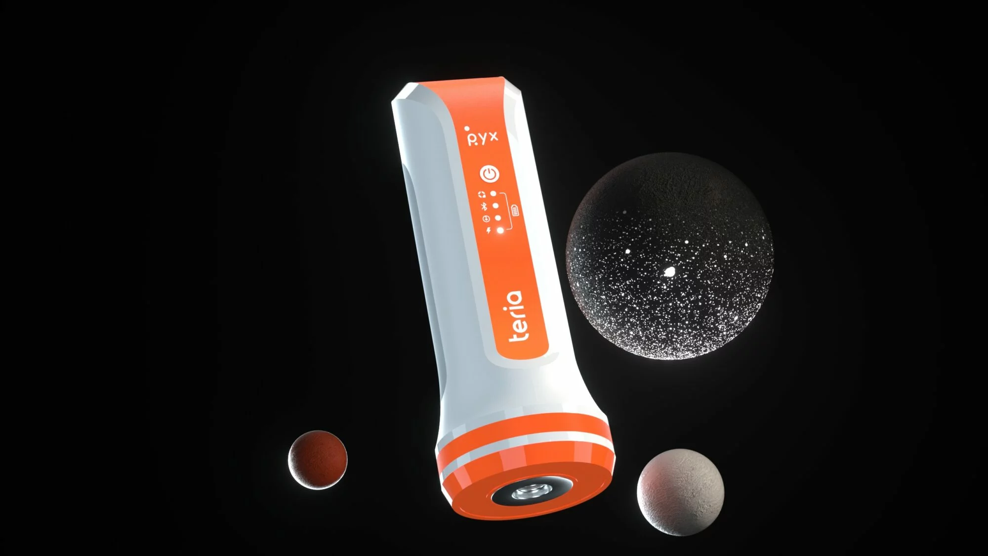
PYX
the GNSS
solution
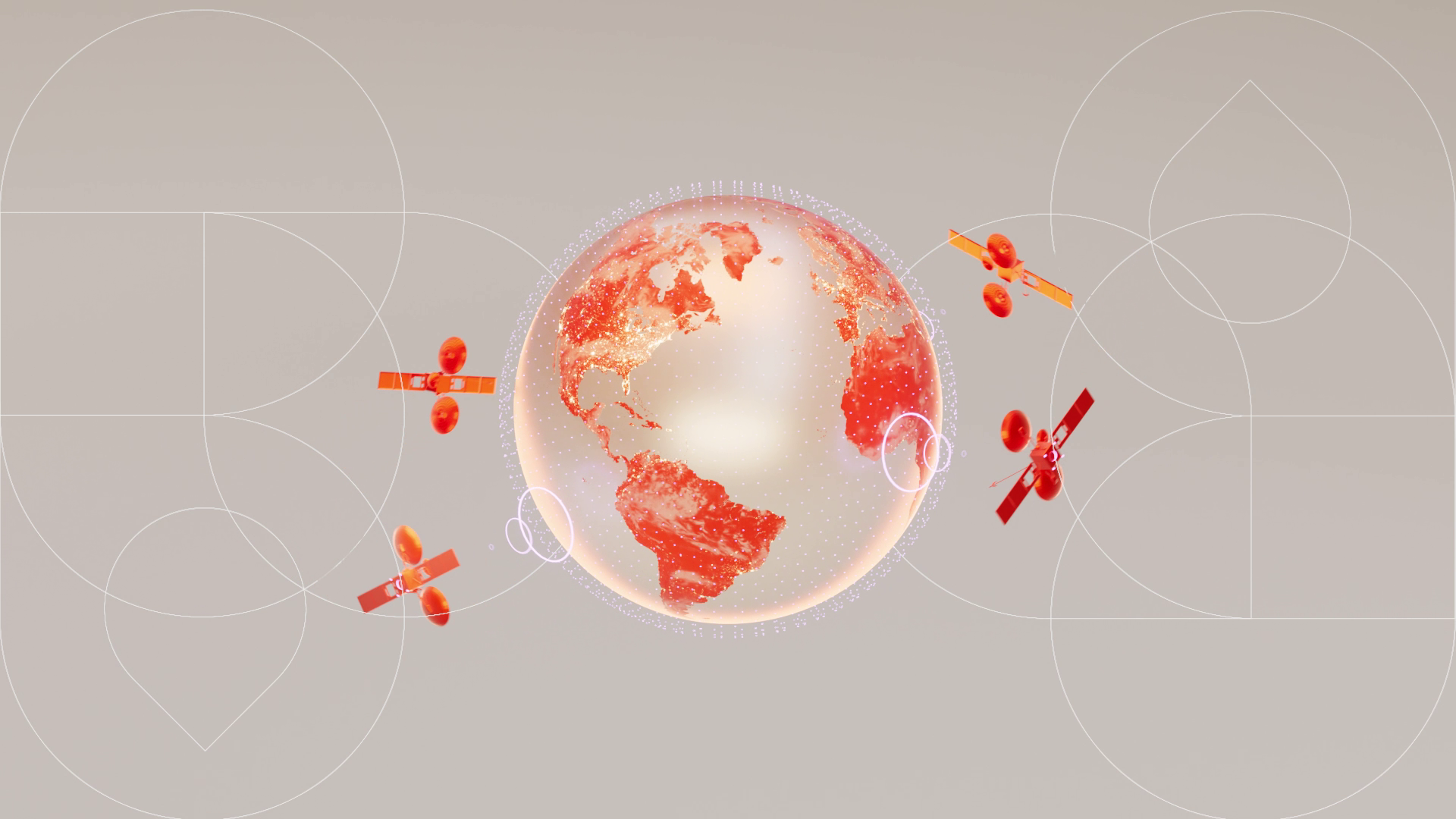
TERIA
& TERIASAT
(included)
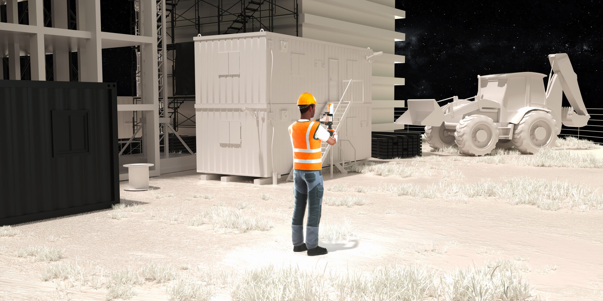
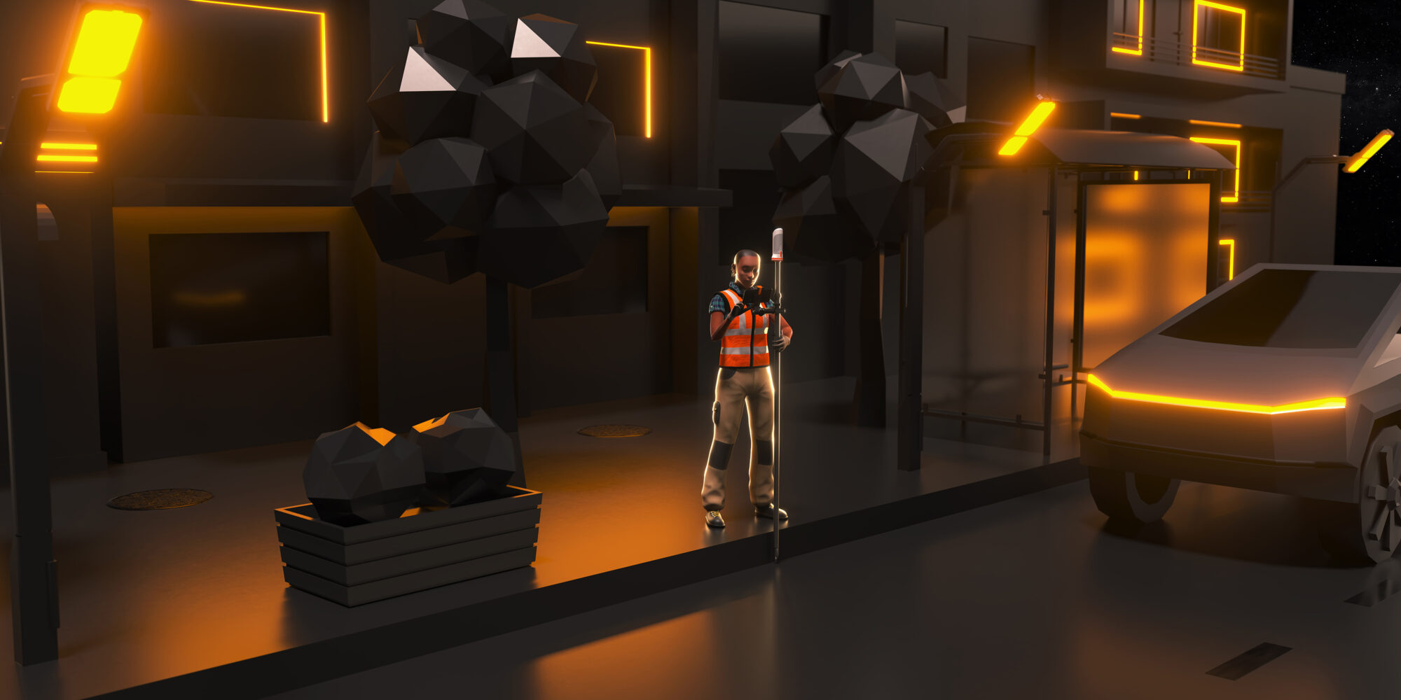
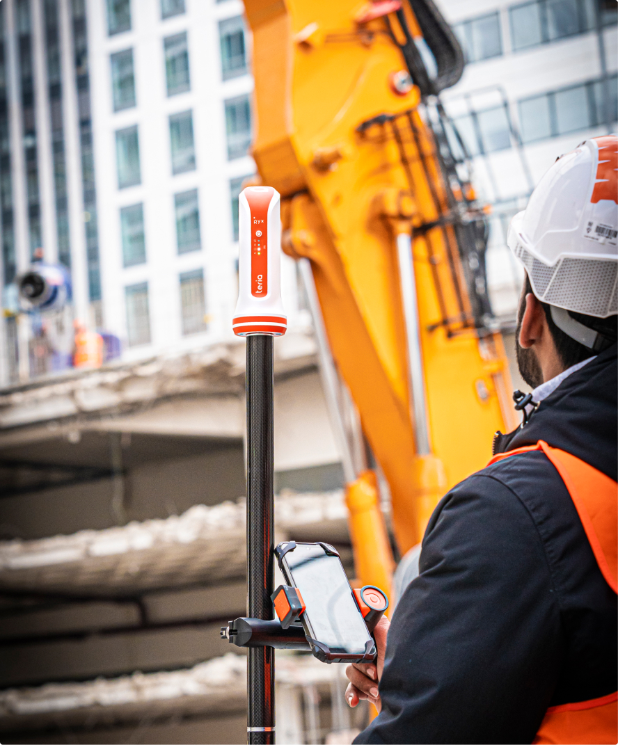
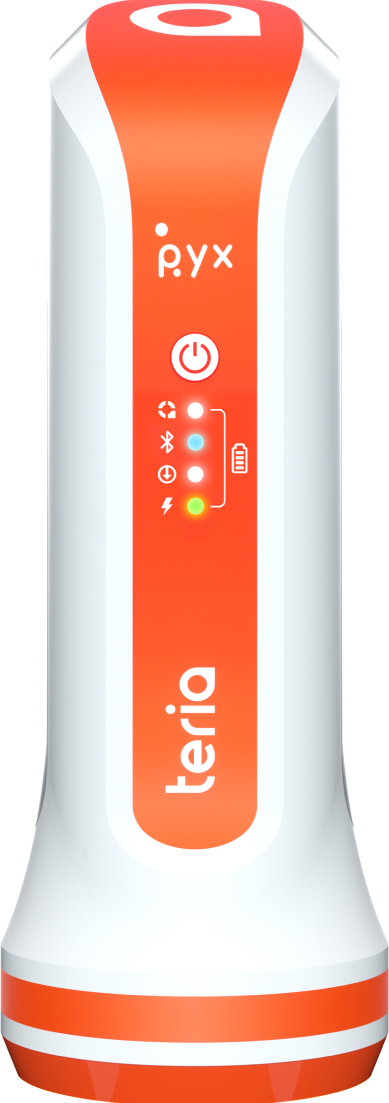
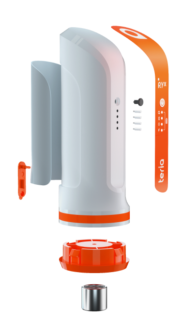
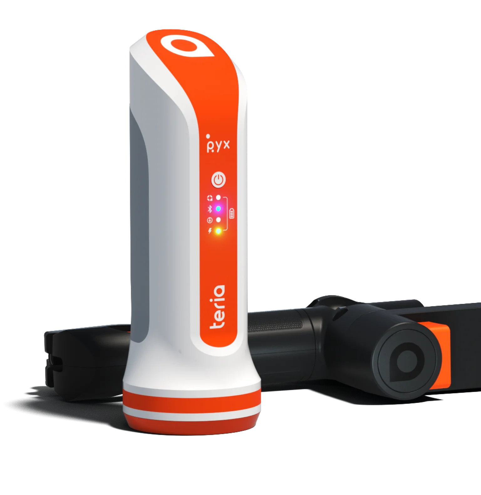
PYX has been designed to provide you with a versatile
GNSS solution developed and manufactured in France.
Designed for extreme environments and with a long battery life, the PYX can adapt to all your needs.
SURVEY YOUR POINTS AT HIGH SPEED
AND CENTIMETRE ACCURACY.


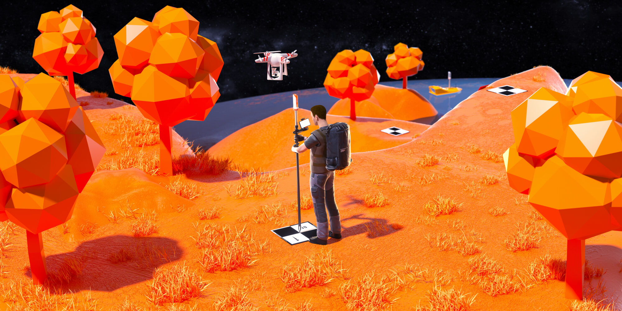
Use the native functions of PYX, develop your own application for a specific use or contact our team for custom development. PYX is a universal solution.
The PYX solution is compatible with all types of controllers and tablets for point acquisition, navigation, tracking, etc.
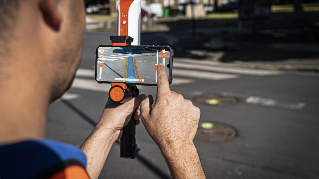
Connect your hardware via Bluetooth and start working on the software or application of your choice!
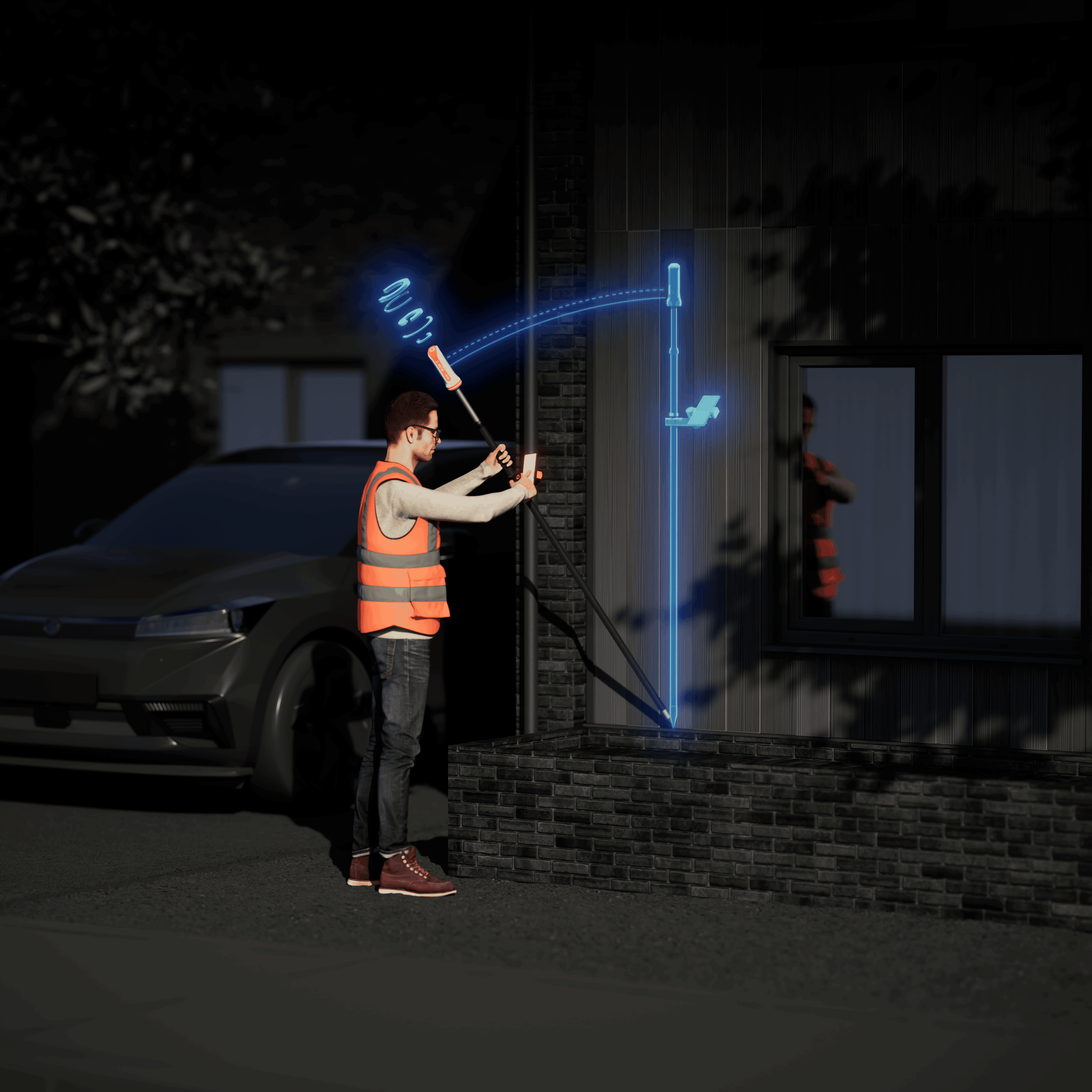
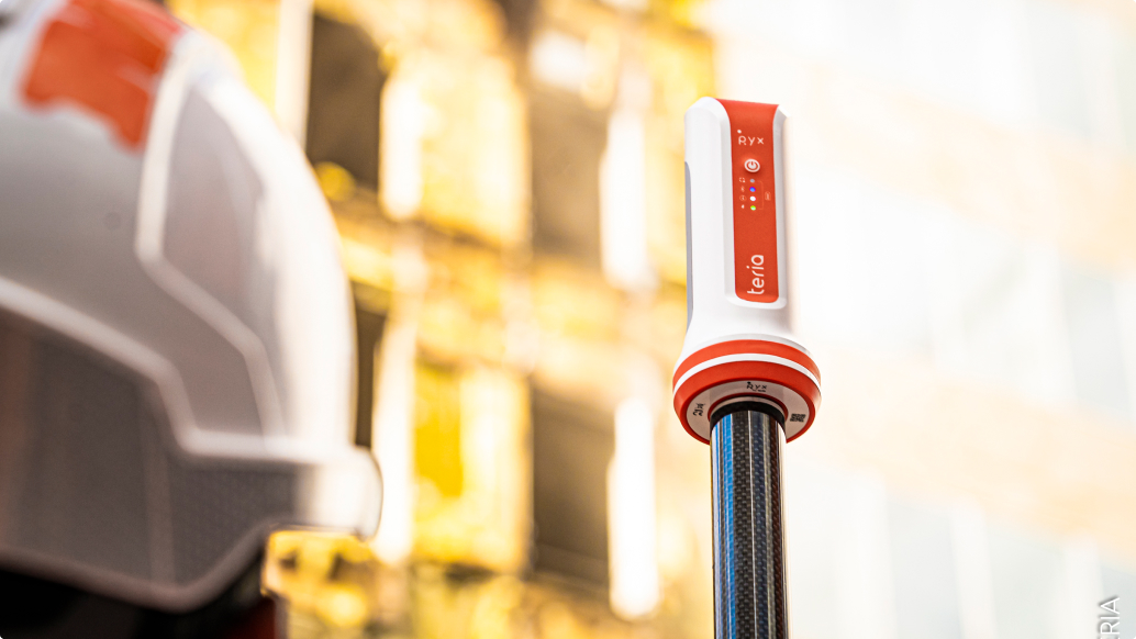
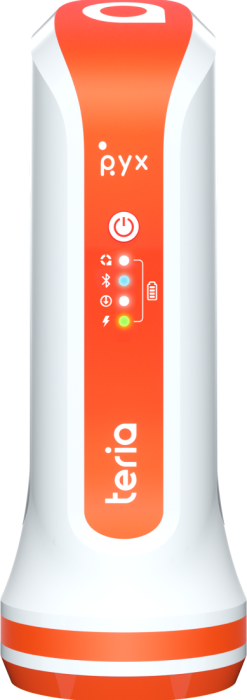
Design
Its sleek design is intuitive to use, combining elegance and performance. Weighing in at just 325g, the PYX receiver is ultra-lightweight, so you can take it with you wherever you go.
Technical
specifications
Technical
specifications
GNSS
Features
Horizontal
Vertical
GPS, GLONASS, CDMA,
QZSS, SBAS
Jusqu'à 30°= 2cm
Jusqu'à 60°= 5cm
Initialisation / Réveil: 10s / <2s
Mechanical
Features
The pack
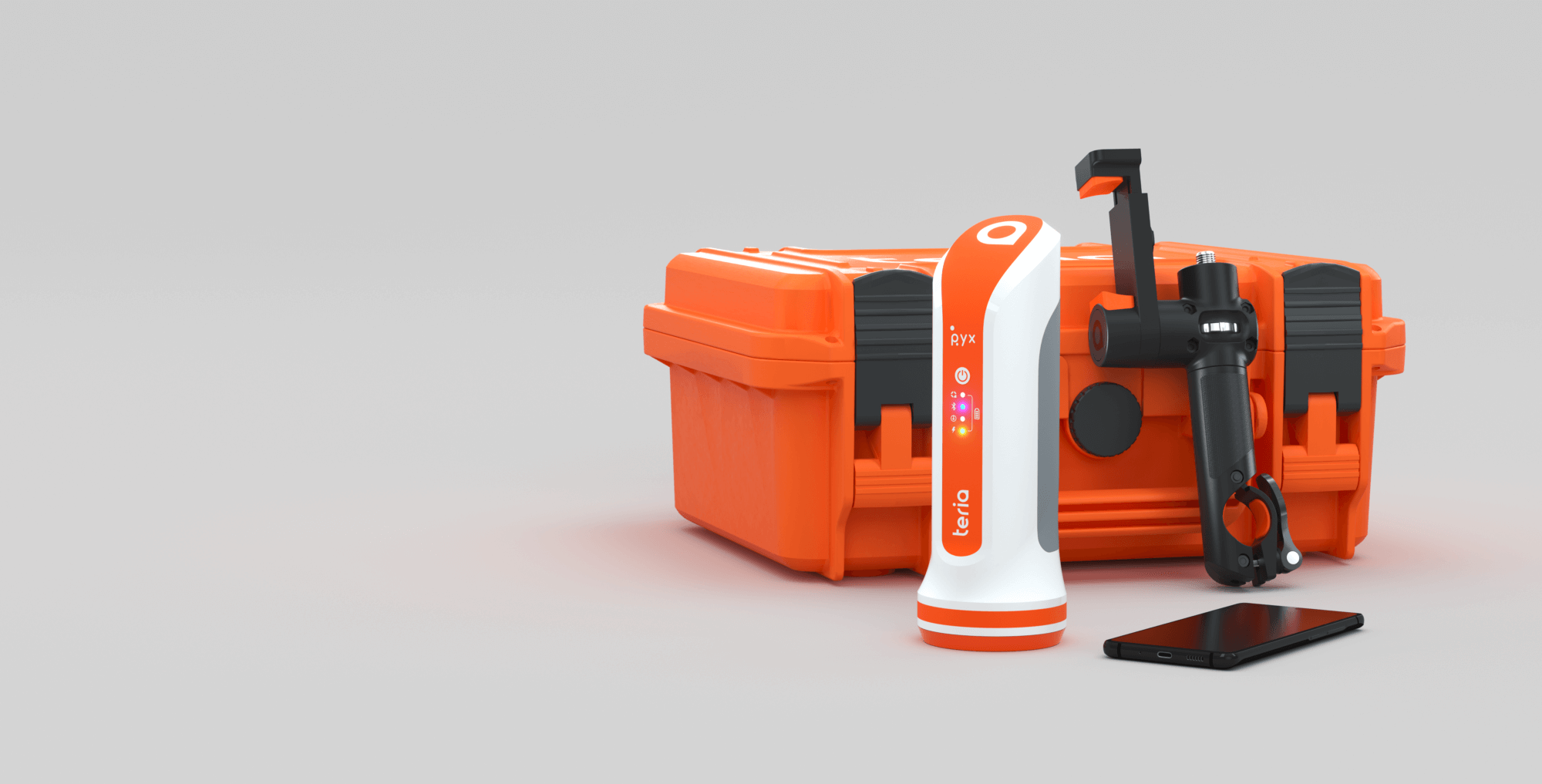
The pack
PYX comes with
- a versatile PYX handle
- Android controller
- USB-C charger
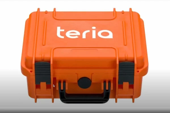
- Shock- and water-resistant carrying case
- aplitop TcpGPS software
- 1-year subscription to the TERIA network
- 1 year warranty
On-demand option
- Tablet with stand
- A high-capacity external battery
- Foldable carbon pole
- SIM card
Le pack
Le pack
PYX est livré avec
- Une poignée polyvalente PYX
- Un contrôleur Android
- Un chargeur USB-C
- Une caisse de transport résistante aux chocs et à l’eau
- Le logiciel Aplitop TcpGPS
- 3 ans d’abonnement au réseau TERIA & TERIAsat
- 1 an de garantie
Option à la demande
- Tablette avec support
- Une batterie externe grande capacité
- Une canne carbone pliable
- Une carte SIM
- PYX Solution +
- PYX Solution +
- PYX Solution +
- PYX Solution +
- PYX Solution +
- PYX Solution +
- PYX Solution +
- PYX Solution +
- TerminalSolution +
- TerminalSolution +
- TerminalSolution +
- TerminalSolution +
- TerminalSolution +
- TerminalSolution +
- TerminalSolution +
- TerminalSolution +