
- Prats de Mollo: Measuring the Paris meridian marker with TERIA
- Prats de Mollo: Measuring the Paris meridian marker with TERIA
- Prats de Mollo: Measuring the Paris meridian marker with TERIA
- Prats de Mollo: Measuring the Paris meridian marker with TERIA
- Prats de Mollo: Measuring the Paris meridian marker with TERIA
- Prats de Mollo: Measuring the Paris meridian marker with TERIA
- Prats de Mollo: Measuring the Paris meridian marker with TERIA
- Prats de Mollo: Measuring the Paris meridian marker with TERIA
- Prats de Mollo: Measuring the Paris meridian marker with TERIA
- Prats de Mollo: Measuring the Paris meridian marker with TERIA
Prats de Mollo: Measuring the Paris meridian marker with TERIA
Measuring the Paris meridian zone with TERIA
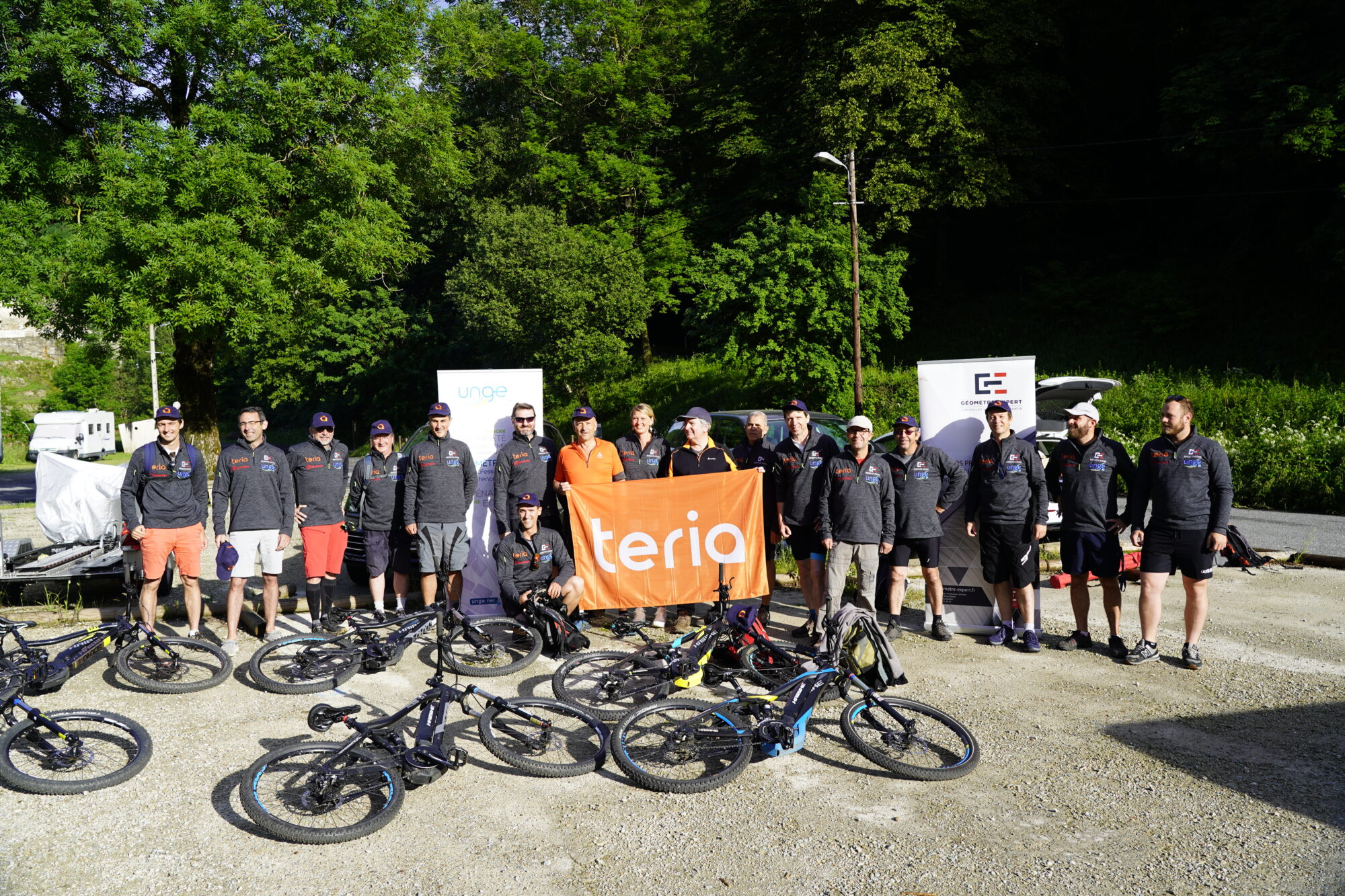
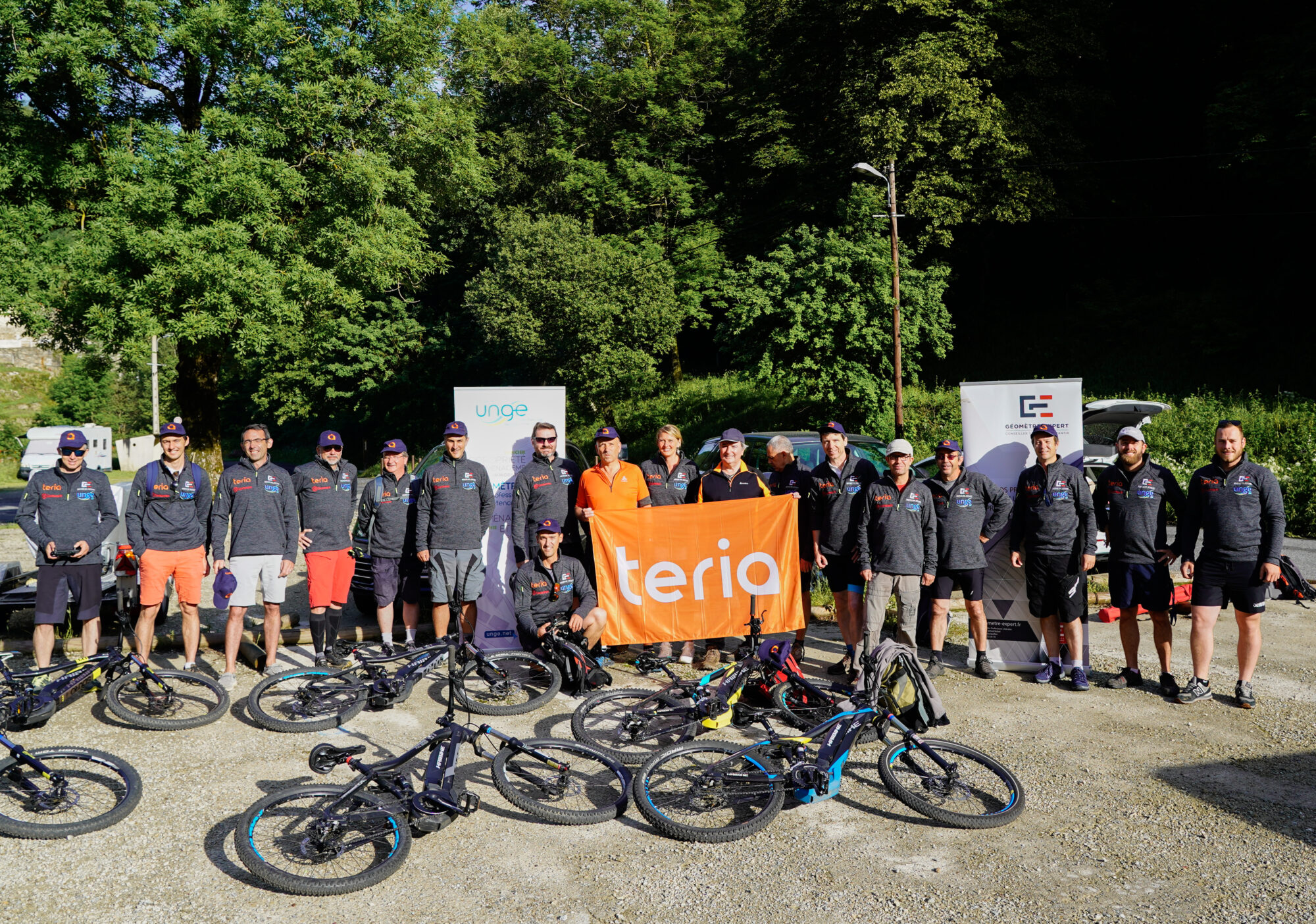
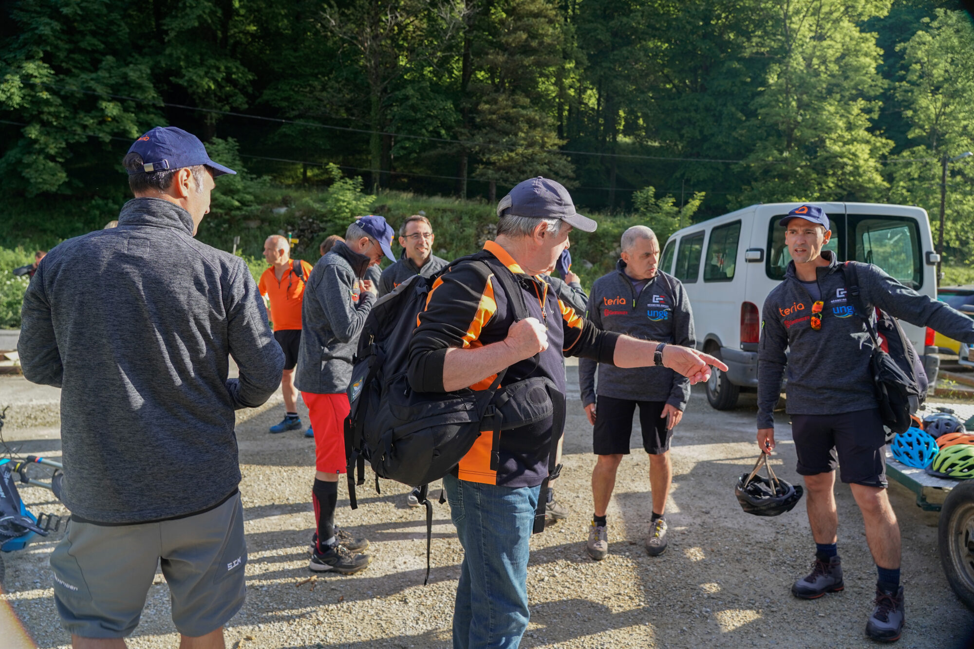
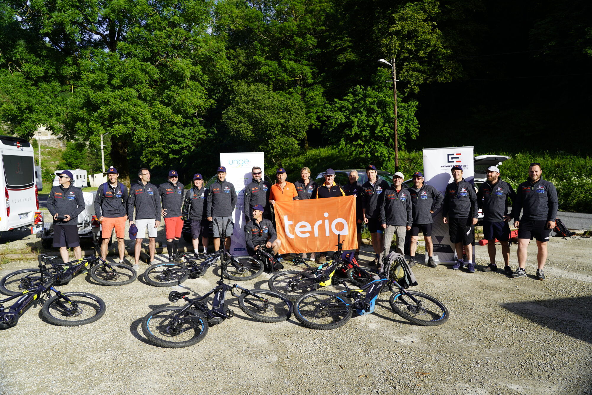
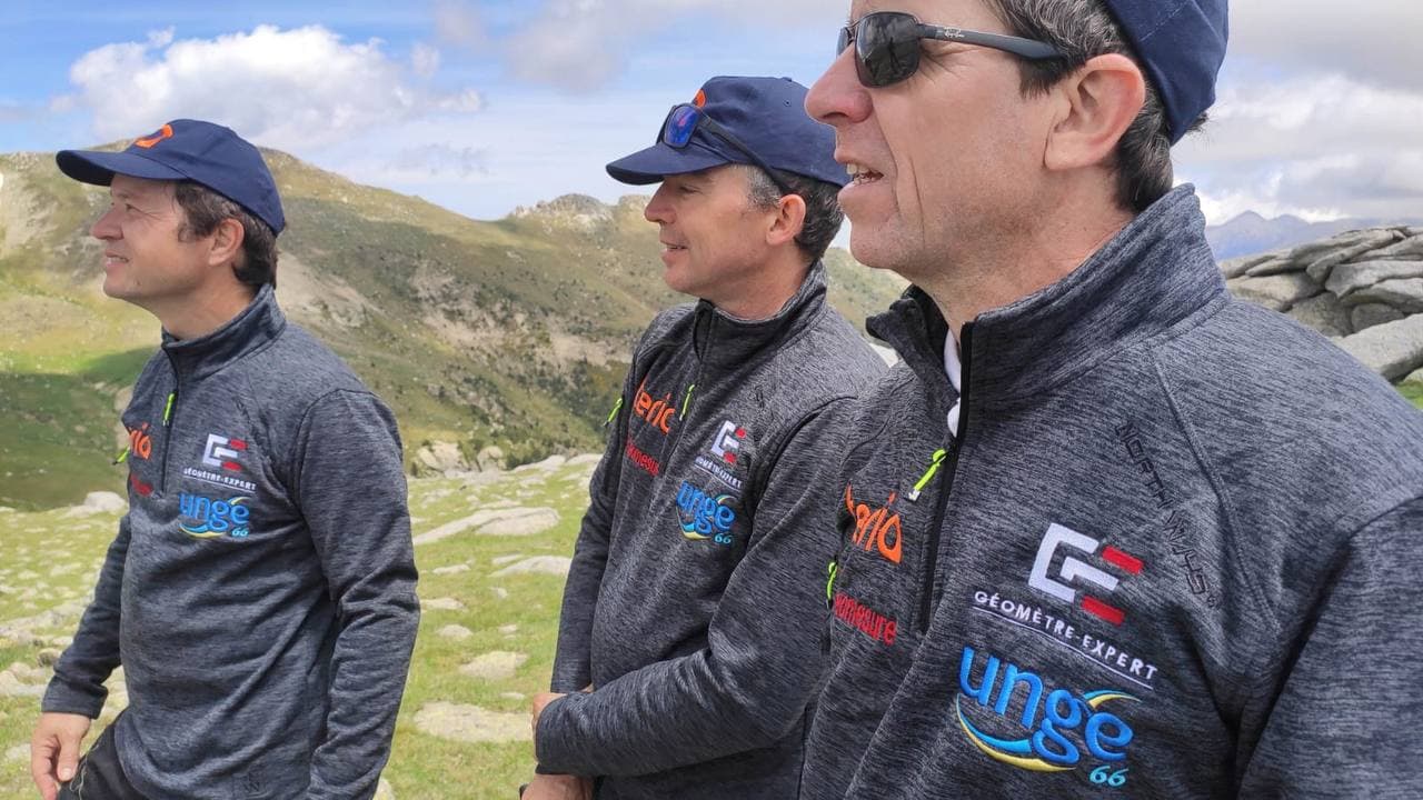
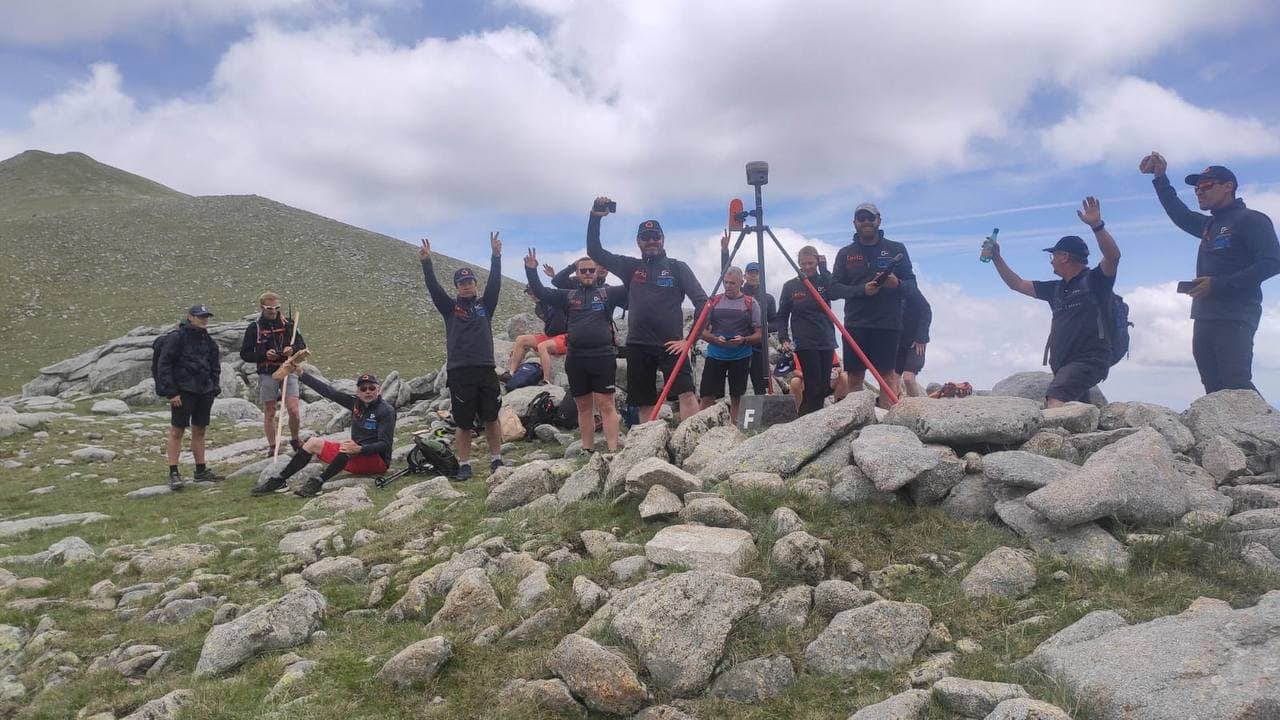
On Friday 18 June, TERIA – a long-standing partner of chartered surveyors – had the pleasure of accompanying members of the Union Nationale des Géomètres Experts des Pyrénées-Orientales (UNGE 66) as they measured the Paris meridian marker on the Franco-Spanish border.
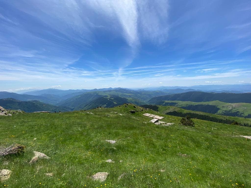
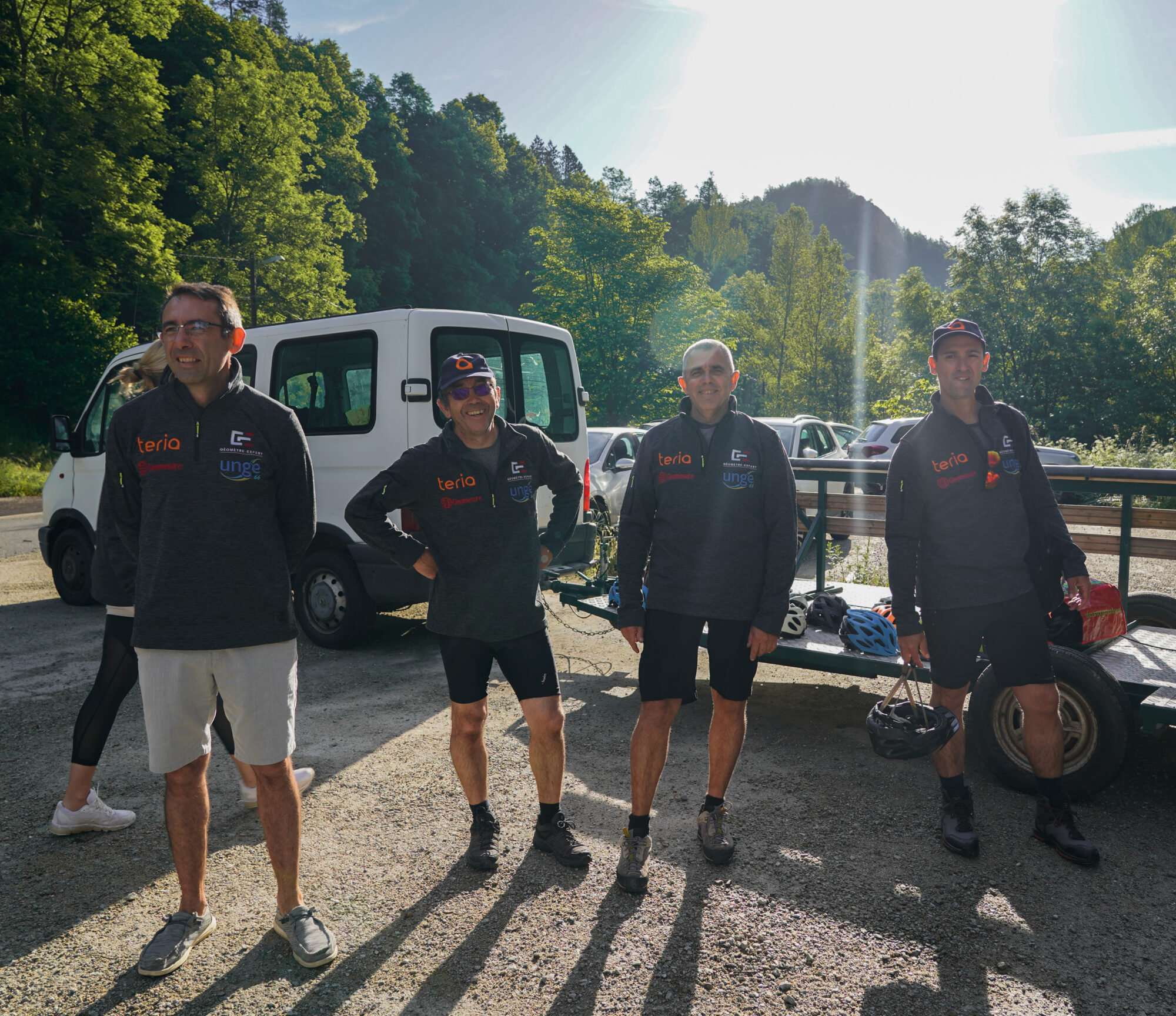
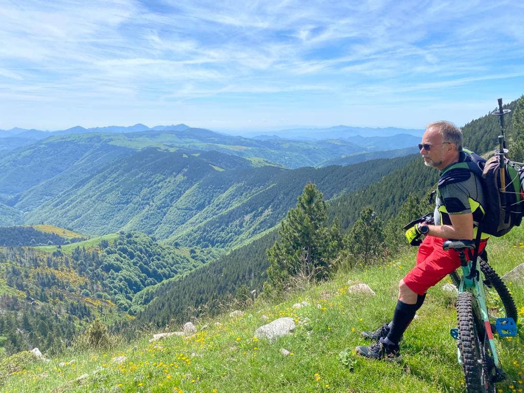
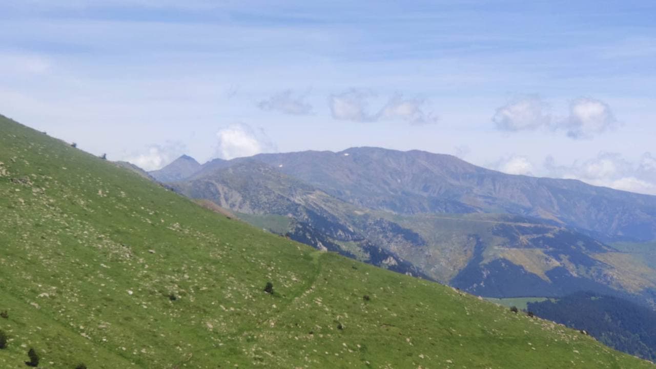
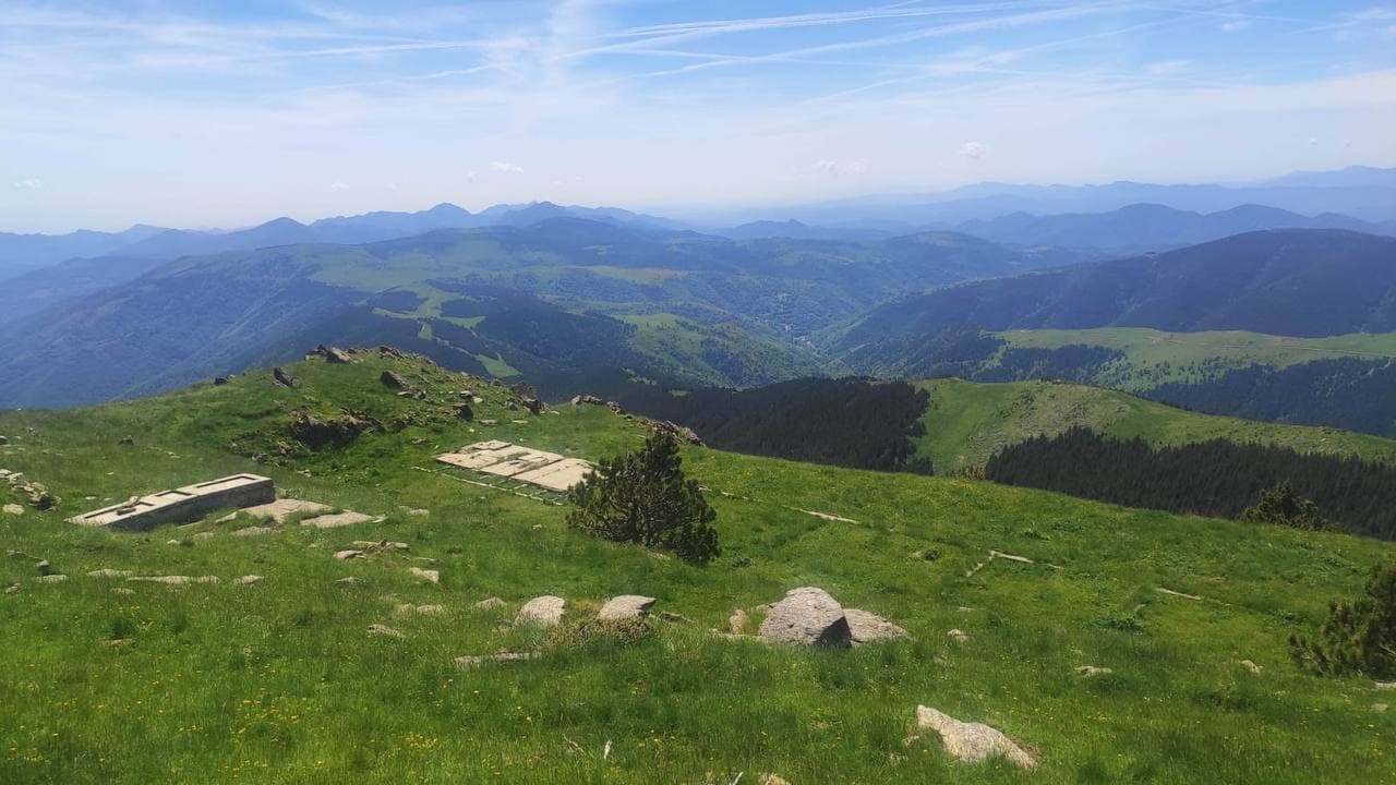
This year, the ascent to the Col del Pla at the foot of the Pic de Castabonne, in the commune of Prats de Mollo, was done on an electric mountain bike.
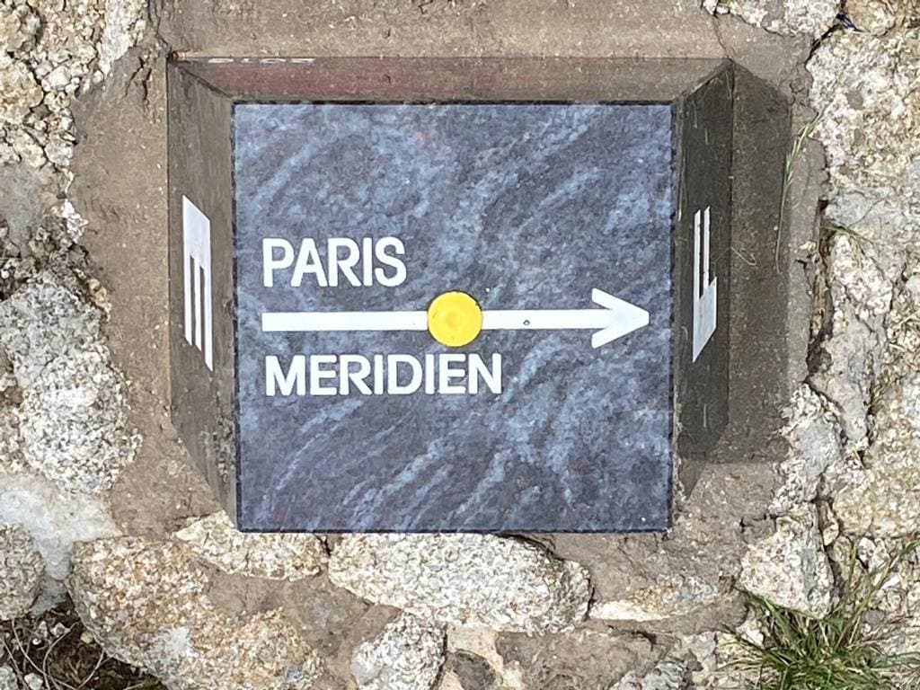
Materialising the Paris meridian passage
In May 2016, the Departmental Chamber of UNGE 66 launched a project aimed at materialising the passage of the Paris meridian at the French-Spanish border.
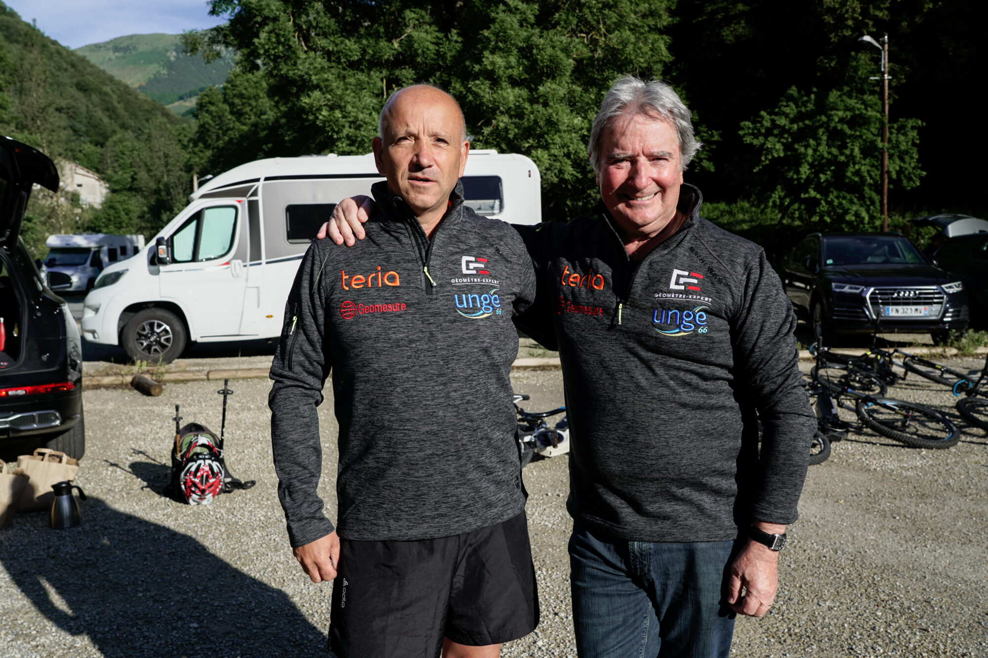
This choice was not accidental, as it was along this meridian that, in the 18th century, our ancestors measured an arc of the earth’s meridian and defined the metre, now the standard of the metric system used worldwide. Sylvain Moreau, departmental secretary of UNGE 66, emphasised the historical importance of this initiative.
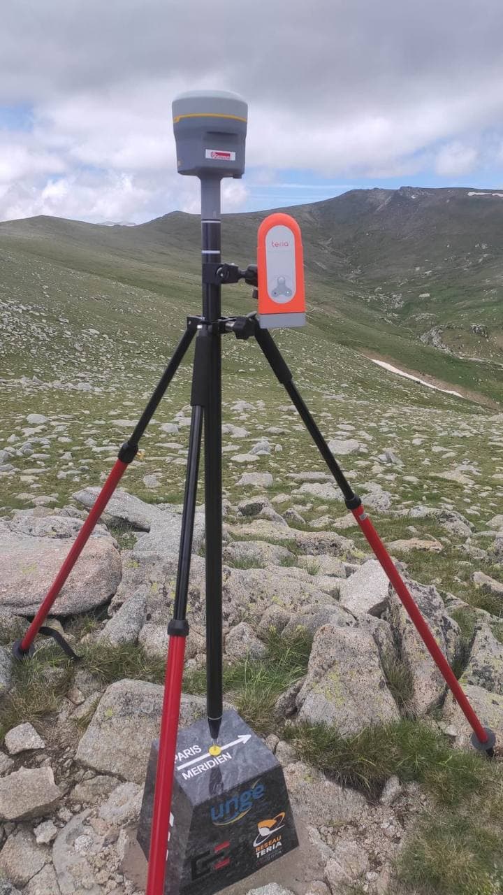
However, difficulties linked to limited access to telephone networks meant that it was not possible to determine the precise coordinates of the milestone…
A new expedition in the company of measurement experts
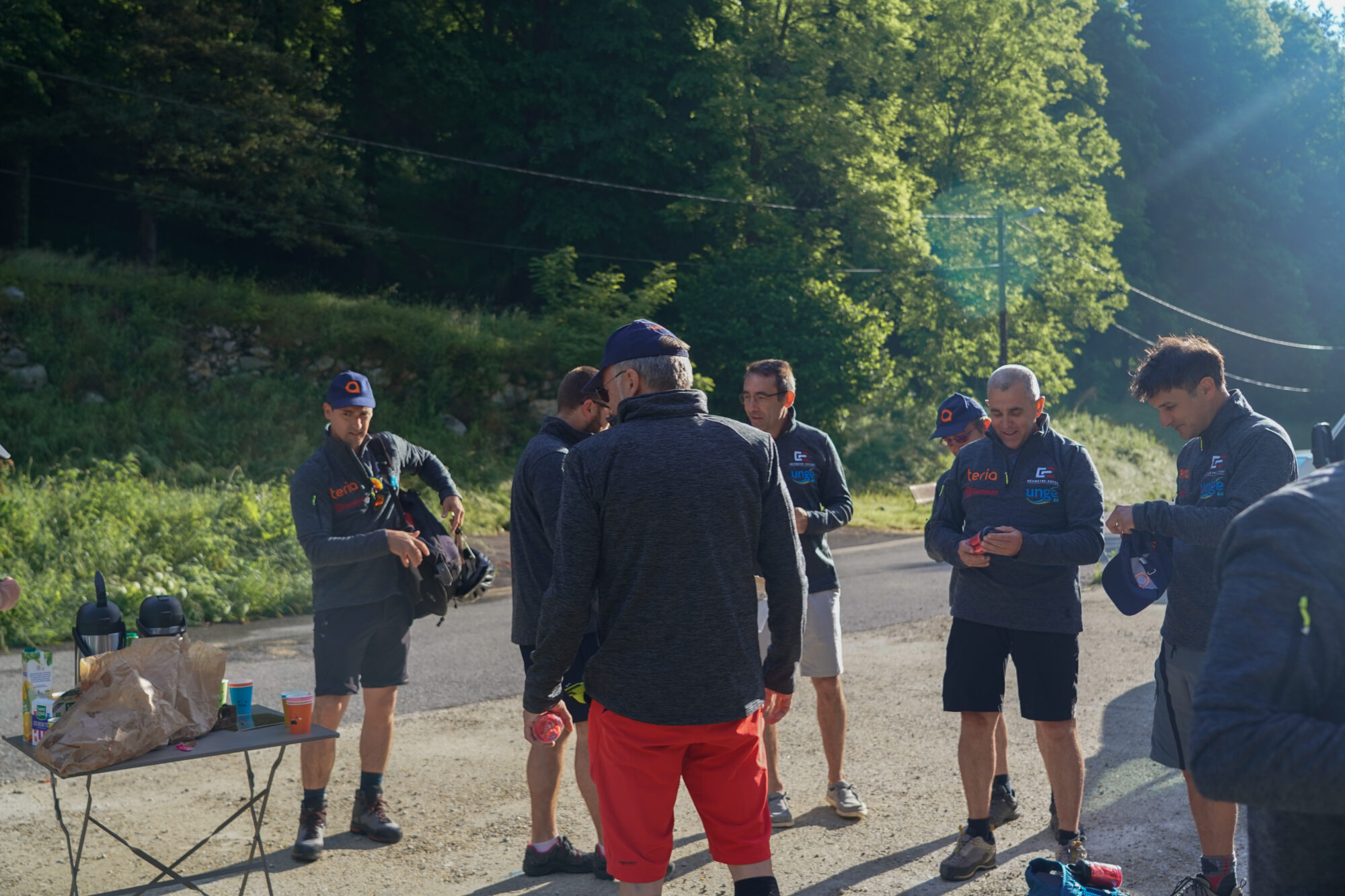
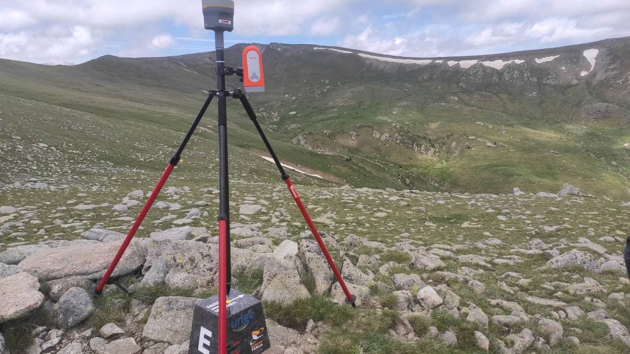
On 18 June 2021, the surveyors decided to organise a new expedition to determine the precise coordinates of the milestone.
This time,UNGE 66 has enlisted the help of several partners, including TERIA, Géomesure, the Institut National de l’Information Géographique et Forestière (IGN), and the Institut Cartographique Catalan (ICGC). Various local players, such as the Perpignan Land Registry Inspector and representatives of the Ordre des géomètres-experts, were also invited to take part in the expedition.
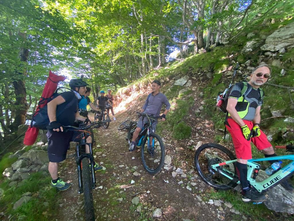
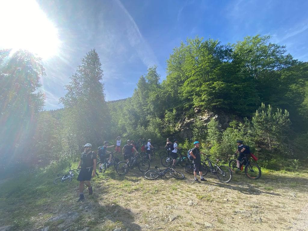
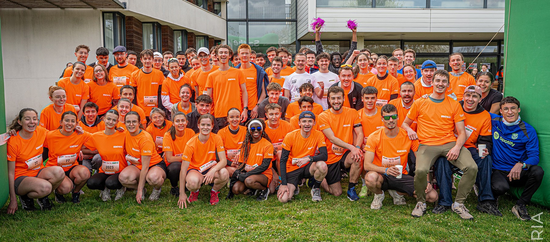
A group of around fifteen people set off to climb the Pic de Costabonne on electric bikes, before finishing on foot, in an unspoilt natural setting. During the excursion, the participants were able to observe the local fauna in ideal conditions.
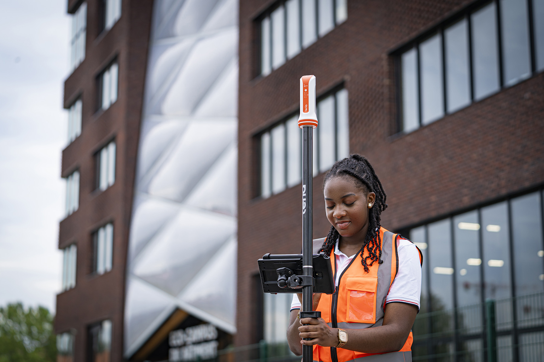
New technologies were also part of the trip. The surveyors used precision satellite geolocation with the TERIAsat service and drones. This made it possible to carry out precise topographical surveys and model the terrain in 3D.
“Today, measurements are taken using satellites orbiting the Earth. Drones are also used by surveyors to take images, but above all for 3D modelling and large-scale topography”

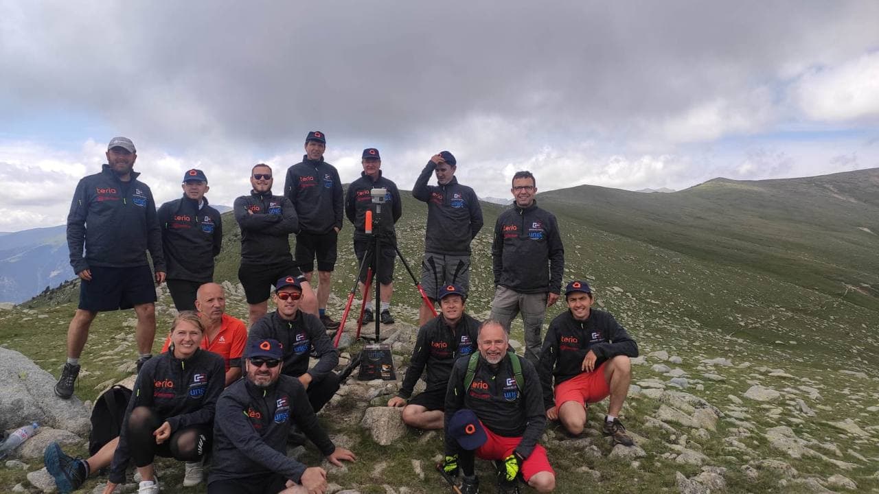
This scientific adventure not only enabled the precise location of the meridian marker, but also strengthened the collaboration between the various parties involved.
The TERIA team is delighted to have taken part in this historically and technically important project.

Did you enjoy this article?
Feel free to share it.