- Land2Map now includes TERIA’s PYX profile
- Land2Map now includes TERIA’s PYX profile
- Land2Map now includes TERIA’s PYX profile
- Land2Map now includes TERIA’s PYX profile
- Land2Map now includes TERIA’s PYX profile
- Land2Map now includes TERIA’s PYX profile
- Land2Map now includes TERIA’s PYX profile
- Land2Map now includes TERIA’s PYX profile
- Land2Map now includes TERIA’s PYX profile
- Land2Map now includes TERIA’s PYX profile
Land2Map now includes TERIA’s PYX profile
Land2Map now includes
the PYX profile
We are pleased to announce the integration of a new configuration profile in Land2Map: TERIA’s PYX is now available directly in the parameters of the Sogelink software…
What is Land2MAP?
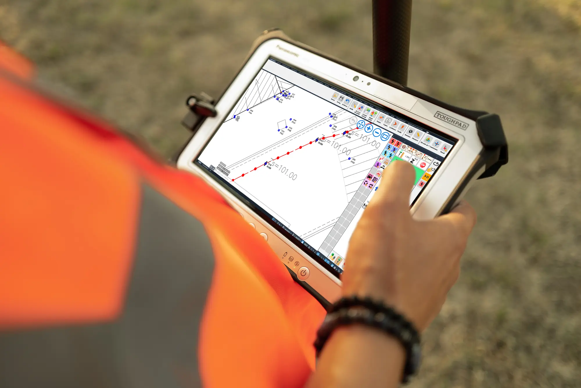
Land2Map is a software solution dedicated to the processing and management of topographic data operated from a Windows touchscreen tablet.
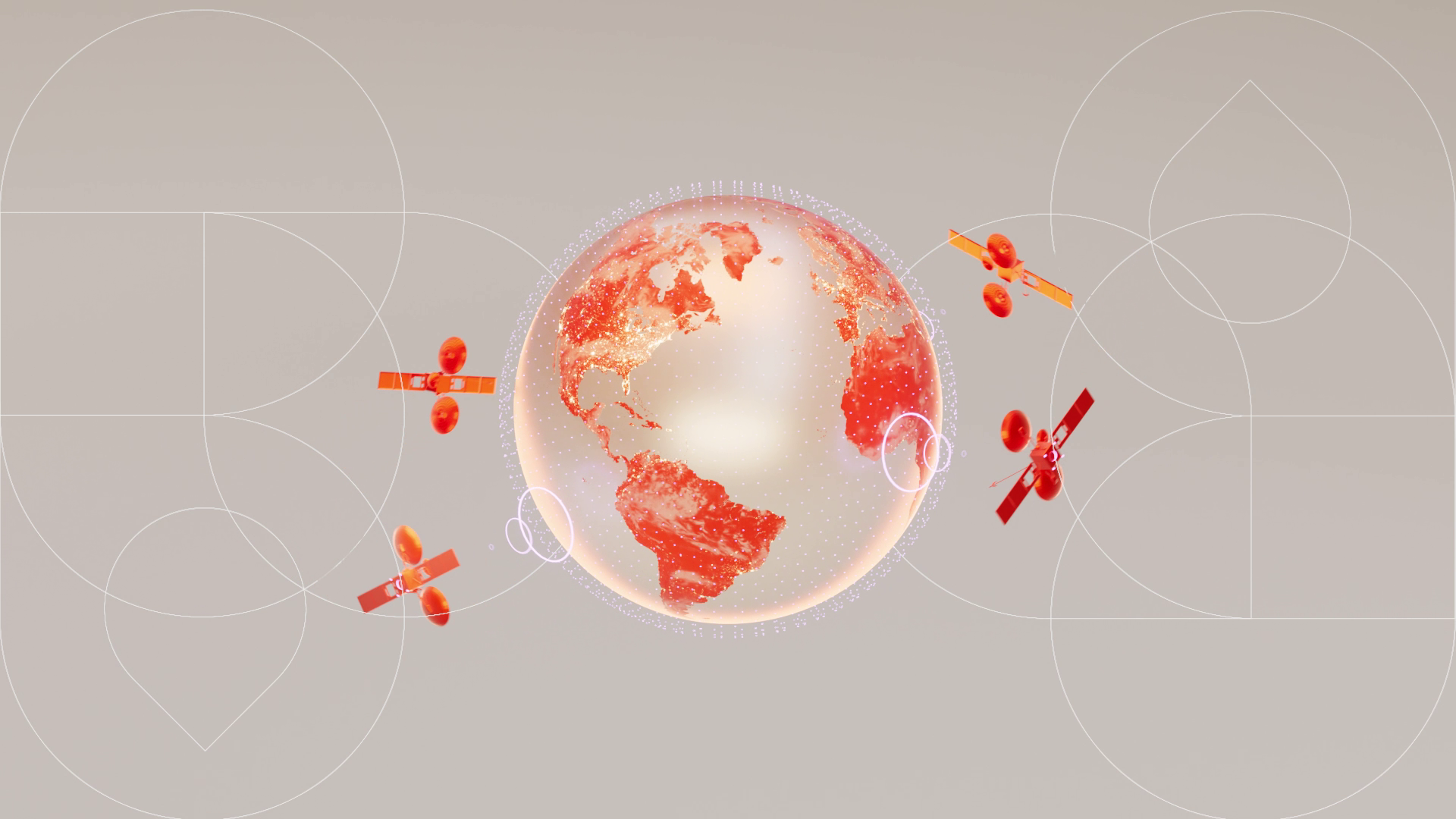
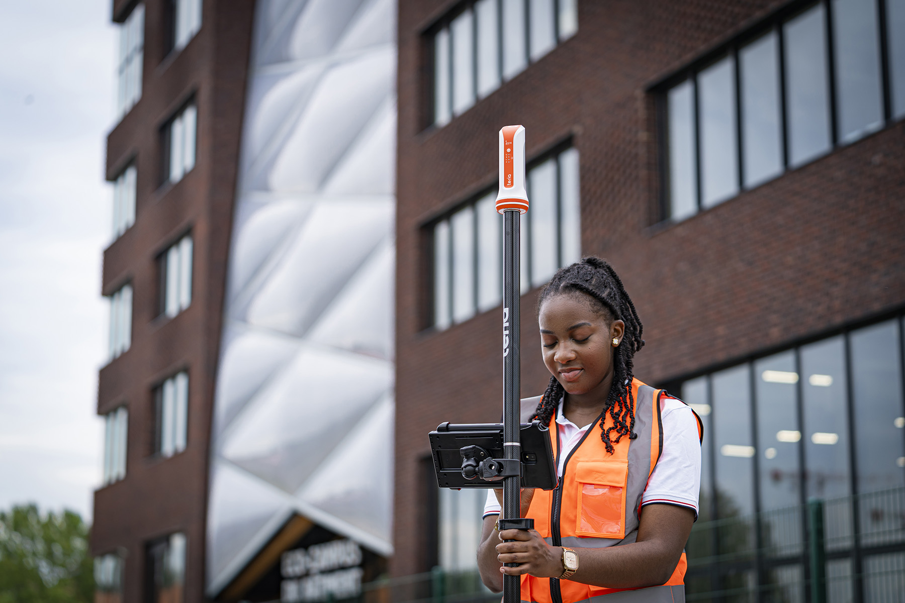
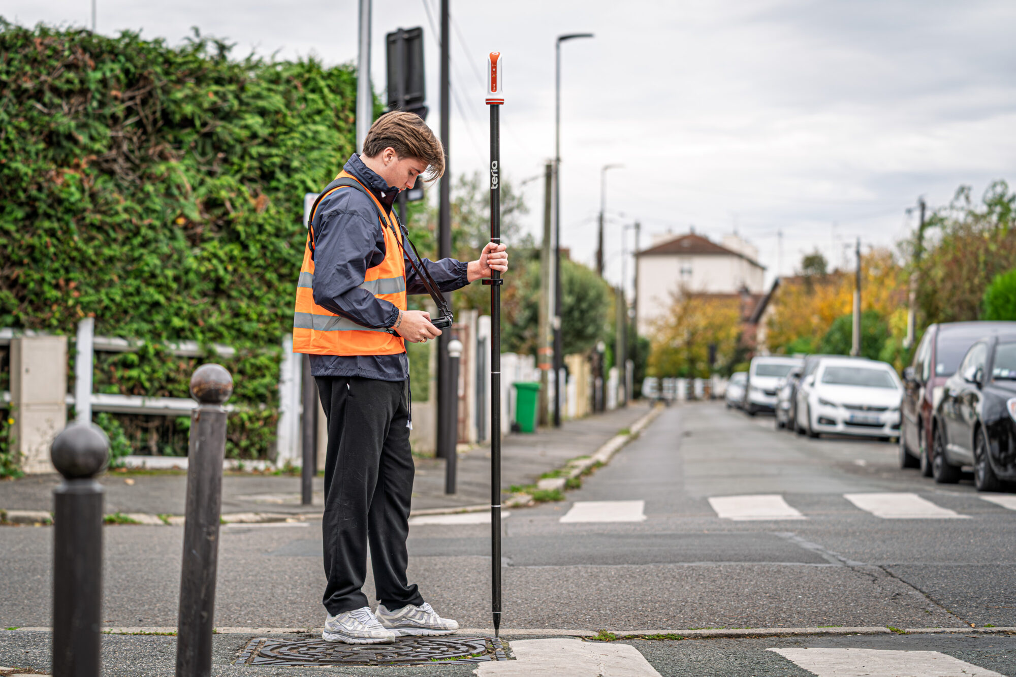
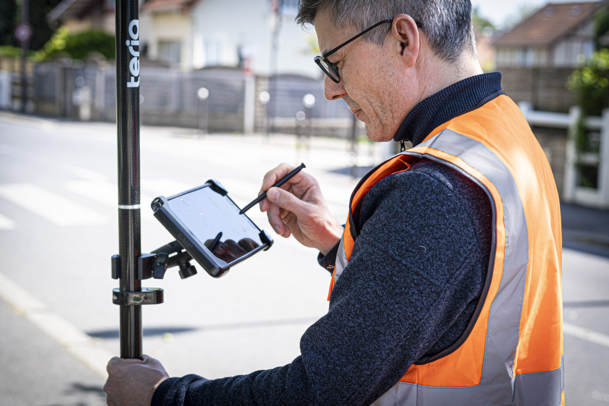
Designed for surveyors, topographers, design offices and field measurement professionals, the software enables the import, processing and use of surveys from total stations and GNSS systems such as TERIA’s PYX.
Its strength lies in its ability to natively manage a wide range of measuring instruments and to facilitate the production of topographic drawings directly in the field.
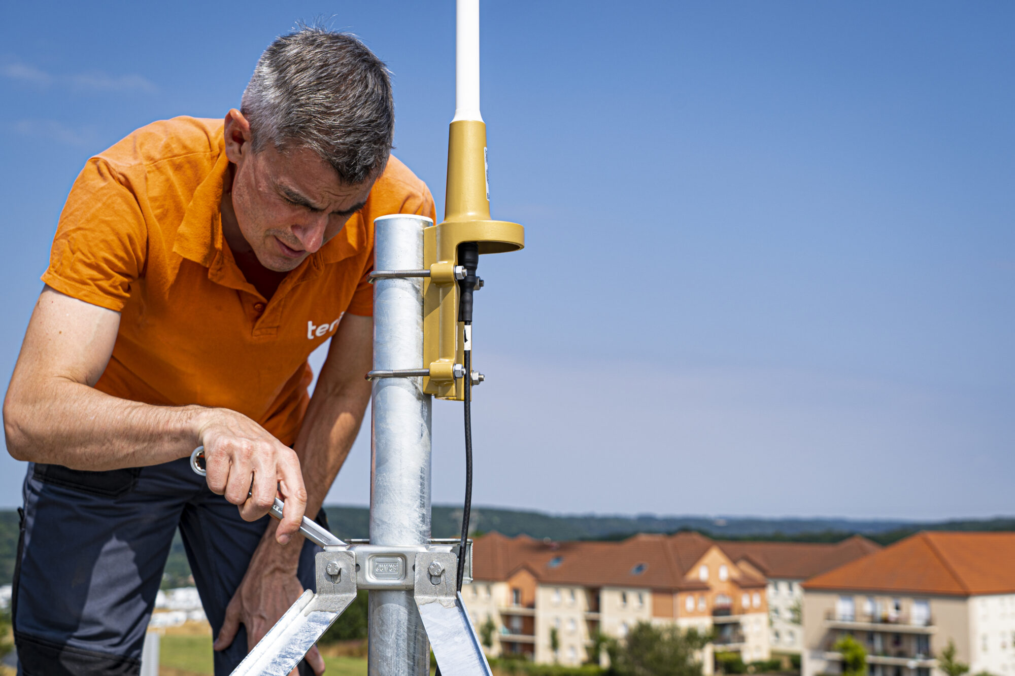
TERIA’s PYX :
native integration
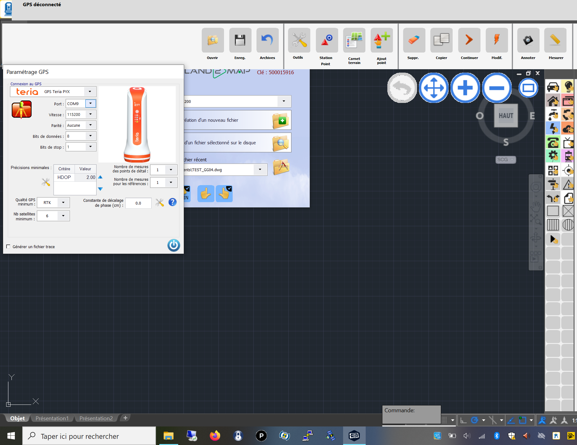
Until now, using PYX with Land2Map required configuration via an external utility and the purchase of a licence.
Now, a pre-configured profile is available directly in the software settings, enabling :
- Simplified connection between the PYX and Land2Map
- Significant time savings during initial configuration
- Reduced risk of configuration errors
- Optimum compatibility with the technical specifications of the PYX
- Cost savings, as the VSPD licence is no longer required.
Installation
To help you get to grips with these new settings, we’ve prepared a detailed step-by-step guide to configuring the PYX profile.
Go to our F.A.Q. and download the procedure in our PYX section.


Did you enjoy this article?
Feel free to share it.