- Pic de Médécourbe: 3 nations meet at the top
- Pic de Médécourbe: 3 nations meet at the top
- Pic de Médécourbe: 3 nations meet at the top
- Pic de Médécourbe: 3 nations meet at the top
- Pic de Médécourbe: 3 nations meet at the top
Pic de Médécourbe: 3 nations meet at the top
3 nations “summit meeting”
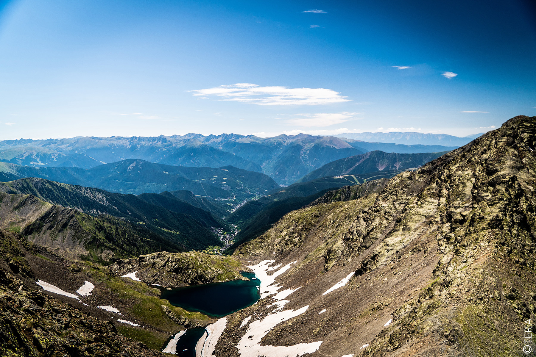
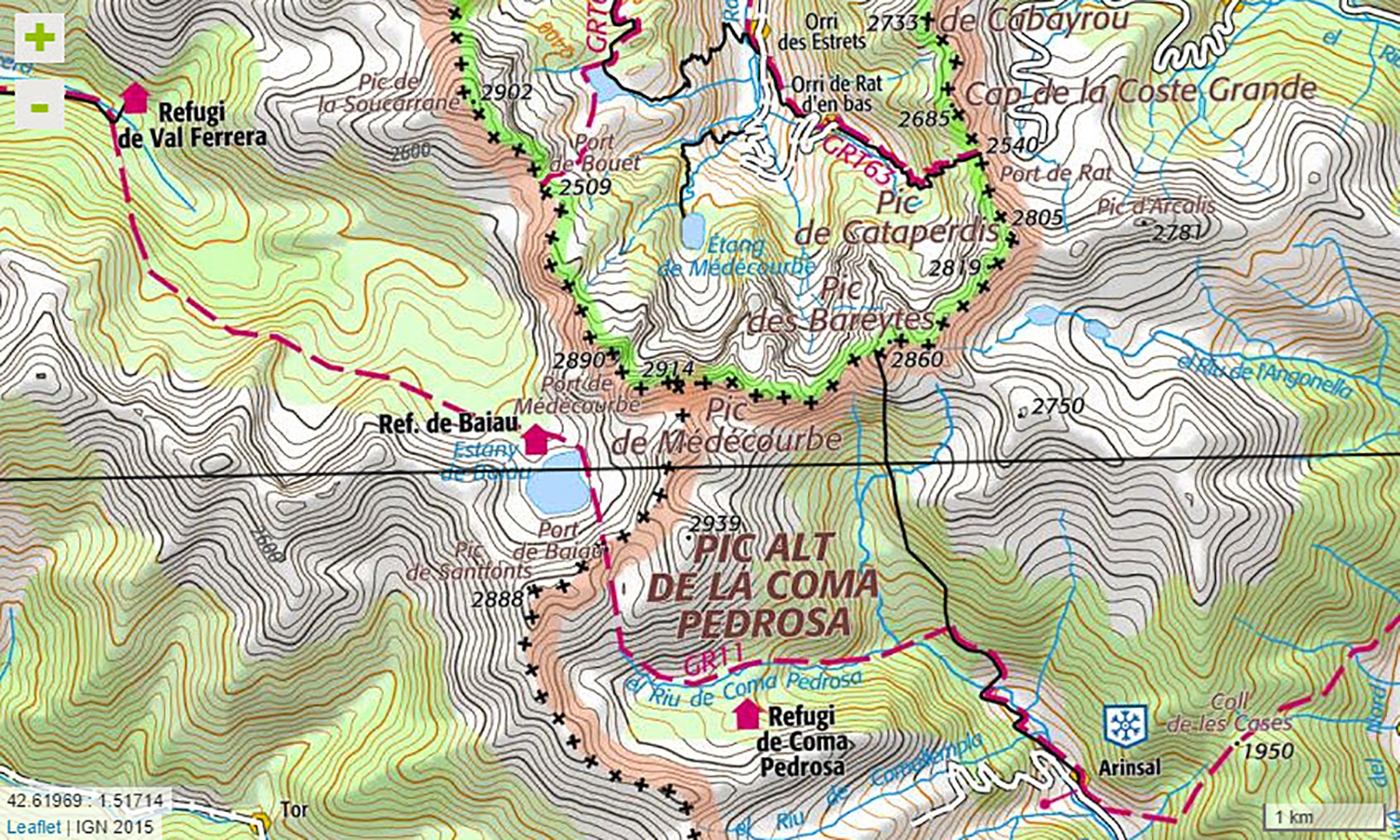
On 15-16 July, expedition teams made up of several European partners set off to conquer the Pic de Médécourbe. This summit is unique in that it is a triple point in the heart of the 3-nation park: France, Spain and Andorra. Here’s a look back at this unusual European event.
Teams of European experts
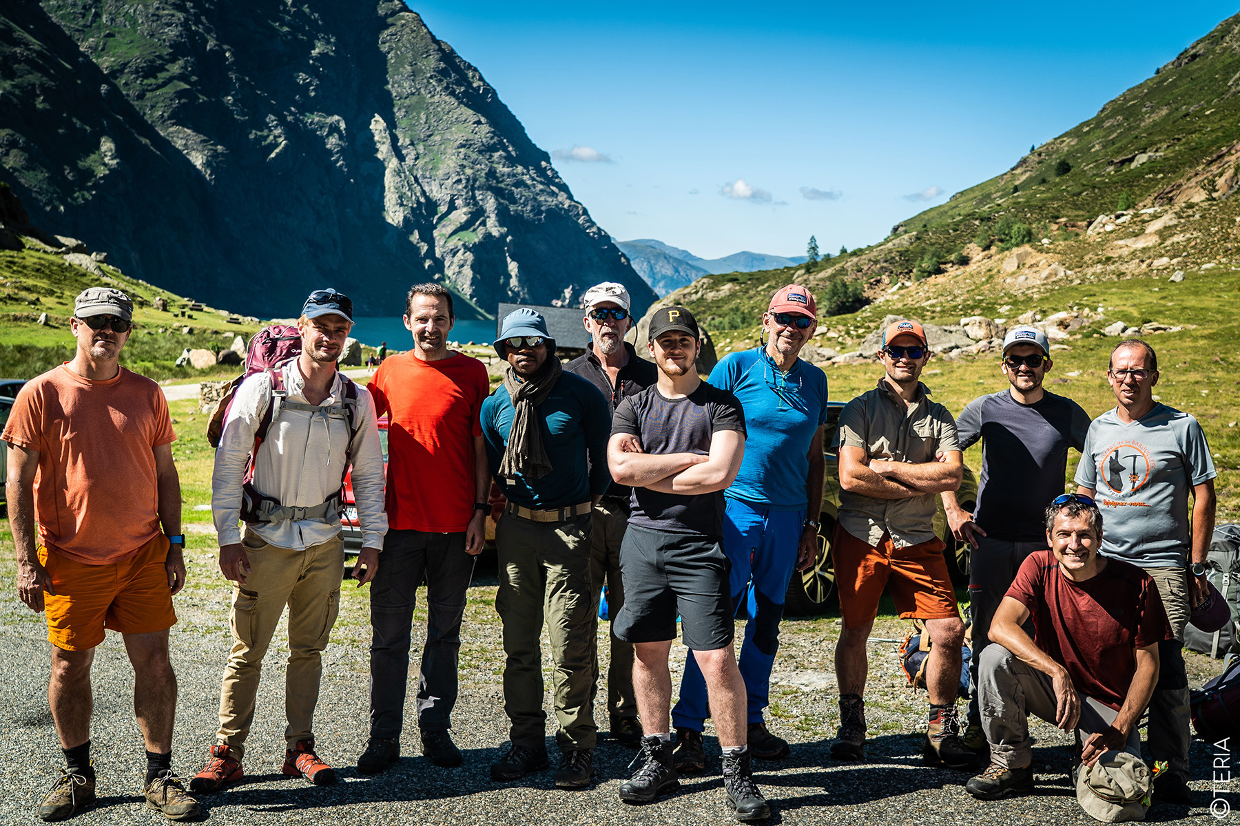
In July, three teams representing France, Spain and Andorra set out to climb the Pic de Médécourbe, a peak where the borders of the three countries converge. Each team followed its own route to the summit.
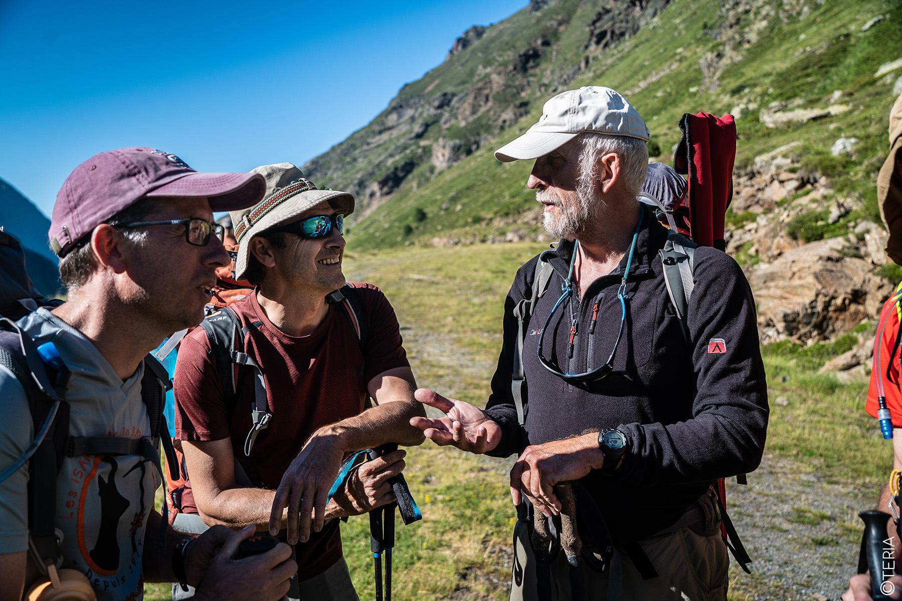
The French team included members of TERIA, several Géomètres-Experts, representatives of TOPCON, a company specialising in GNSS equipment, and the management of the Parc naturel régional des Pyrénées Ariégeoises.
On the Spanish side, members of theInstitute of Cartography and Geology of Catalonia (ICGC) were present, while the Andorran team included the management of the Coma Pedrosa Valley Park.
Scientific and technical issues
The expedition had several objectives.
- The first was to re-mark the geographical summit of the Pic de Médécourbe, located in an area that is very difficult to access. A granite marker had already been installed by the IGN in the past, but it has since disappeared.
- The second objective was to determine the precise altitude of the summit using a single reference point, as the reference points of the three countries have different origins.
Beyond the scientific and technical aspects, the mission also offered an opportunity to strengthen cooperation between the three participating countries through GNSS technology. GNSS, as a universal tool, makes it possible to maintain a geographical continuum across borders and to link the respective national cartographies.
Cutting-edge technology at the top
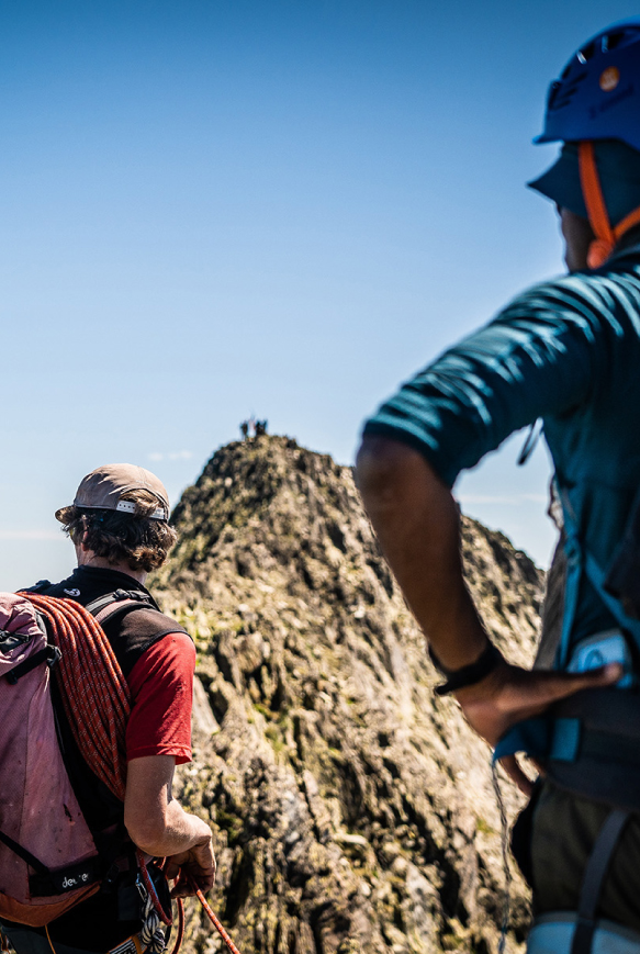
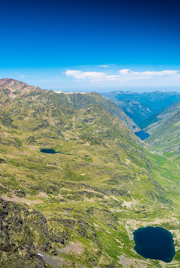
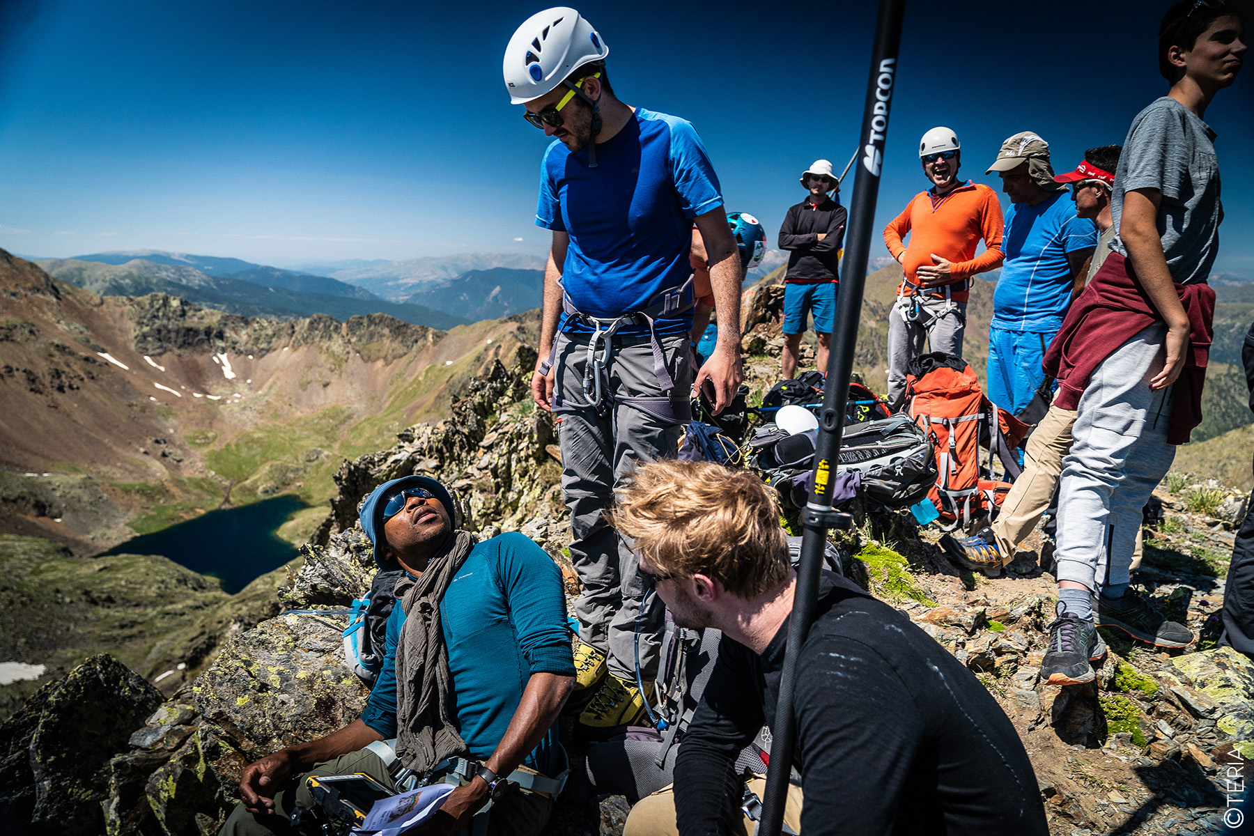
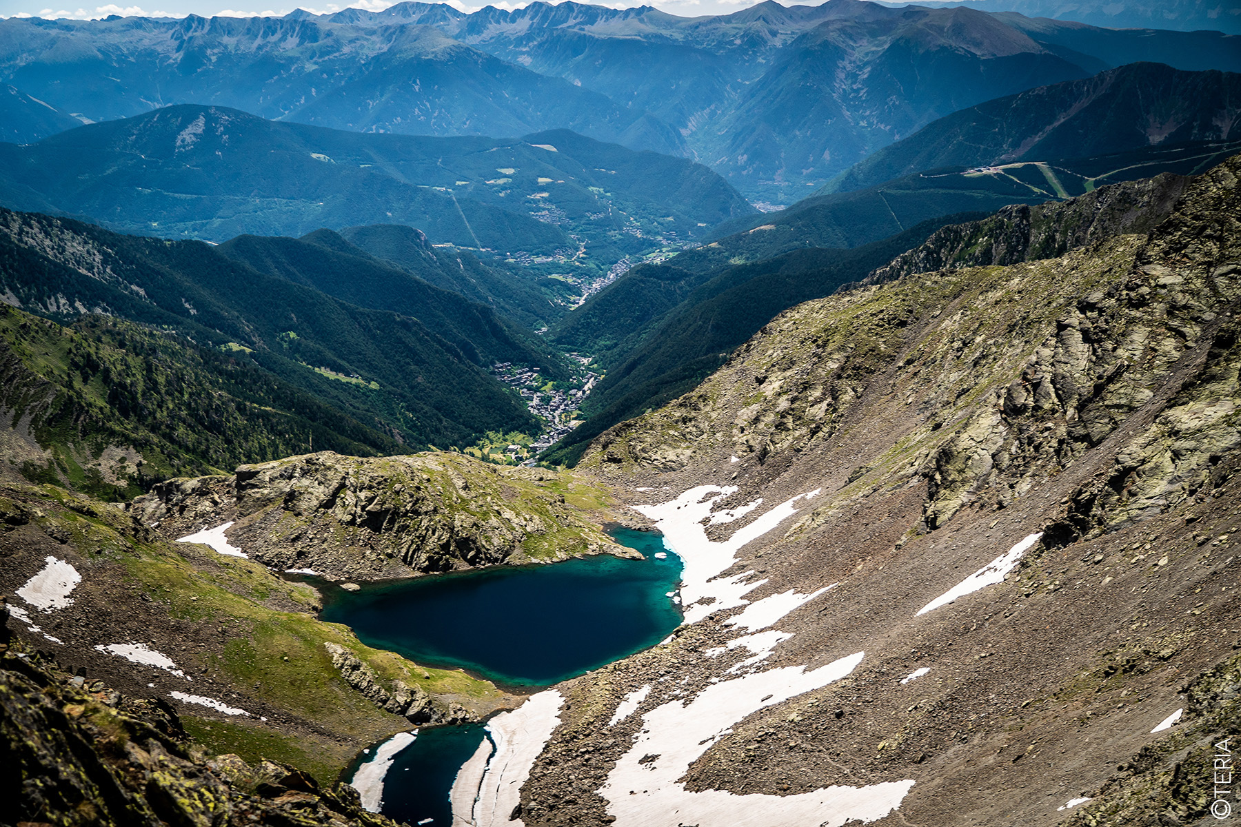
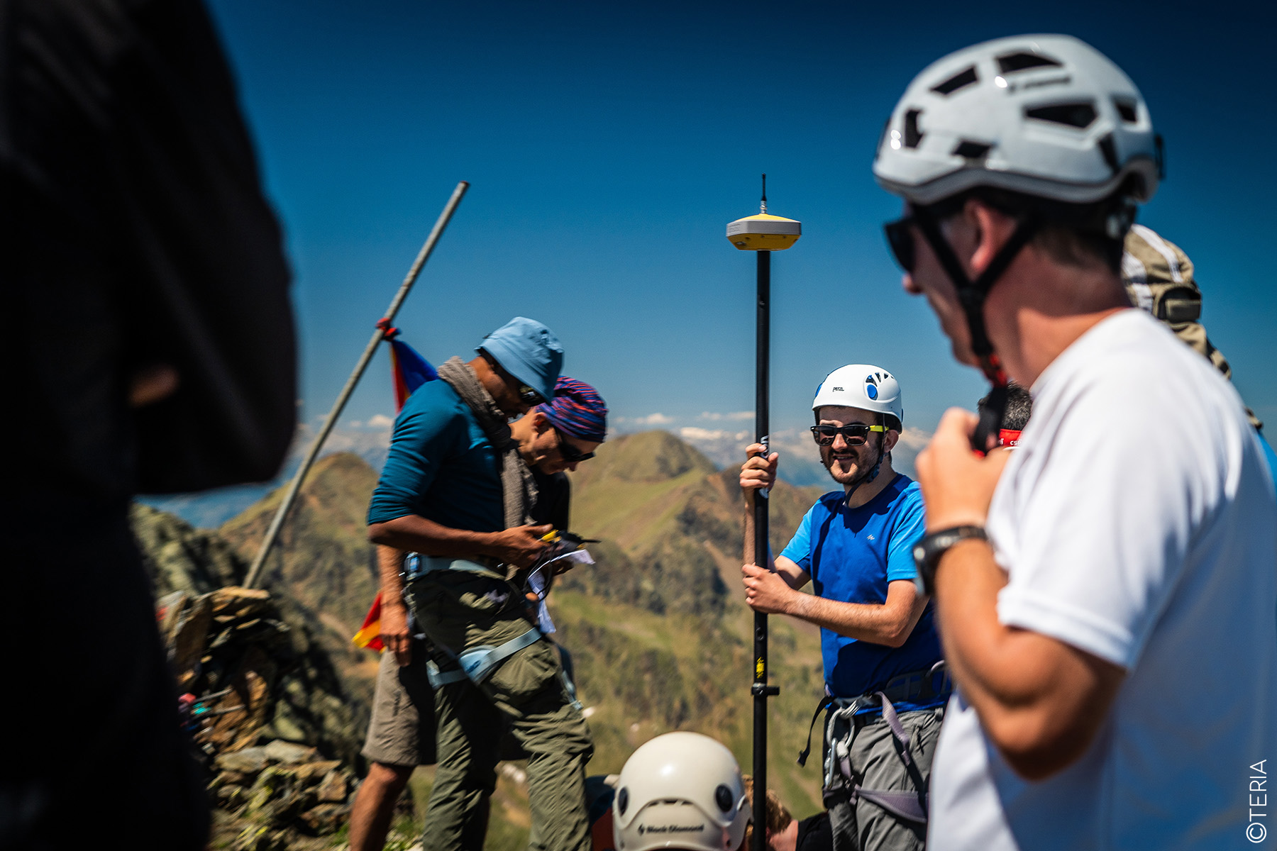
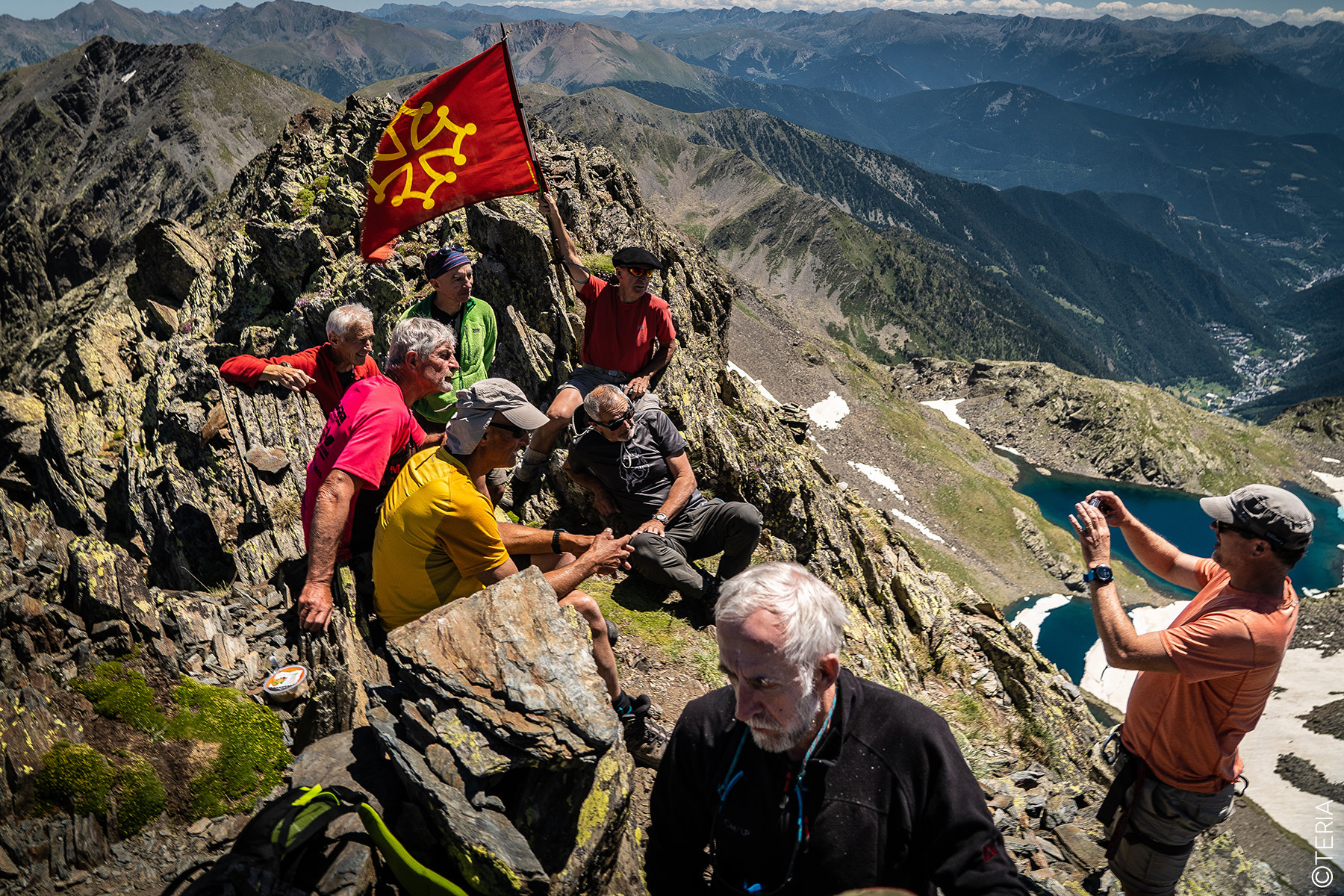
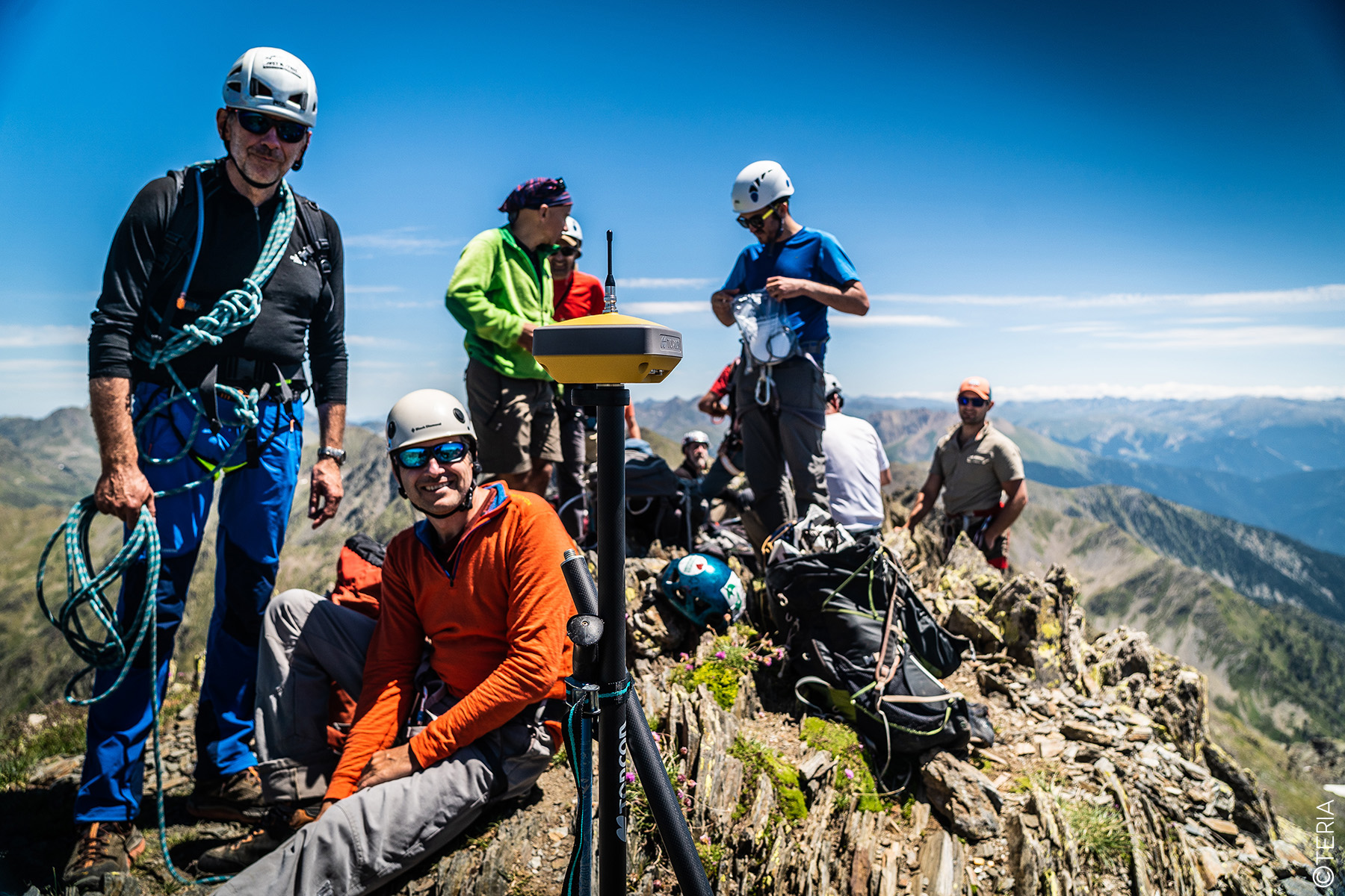
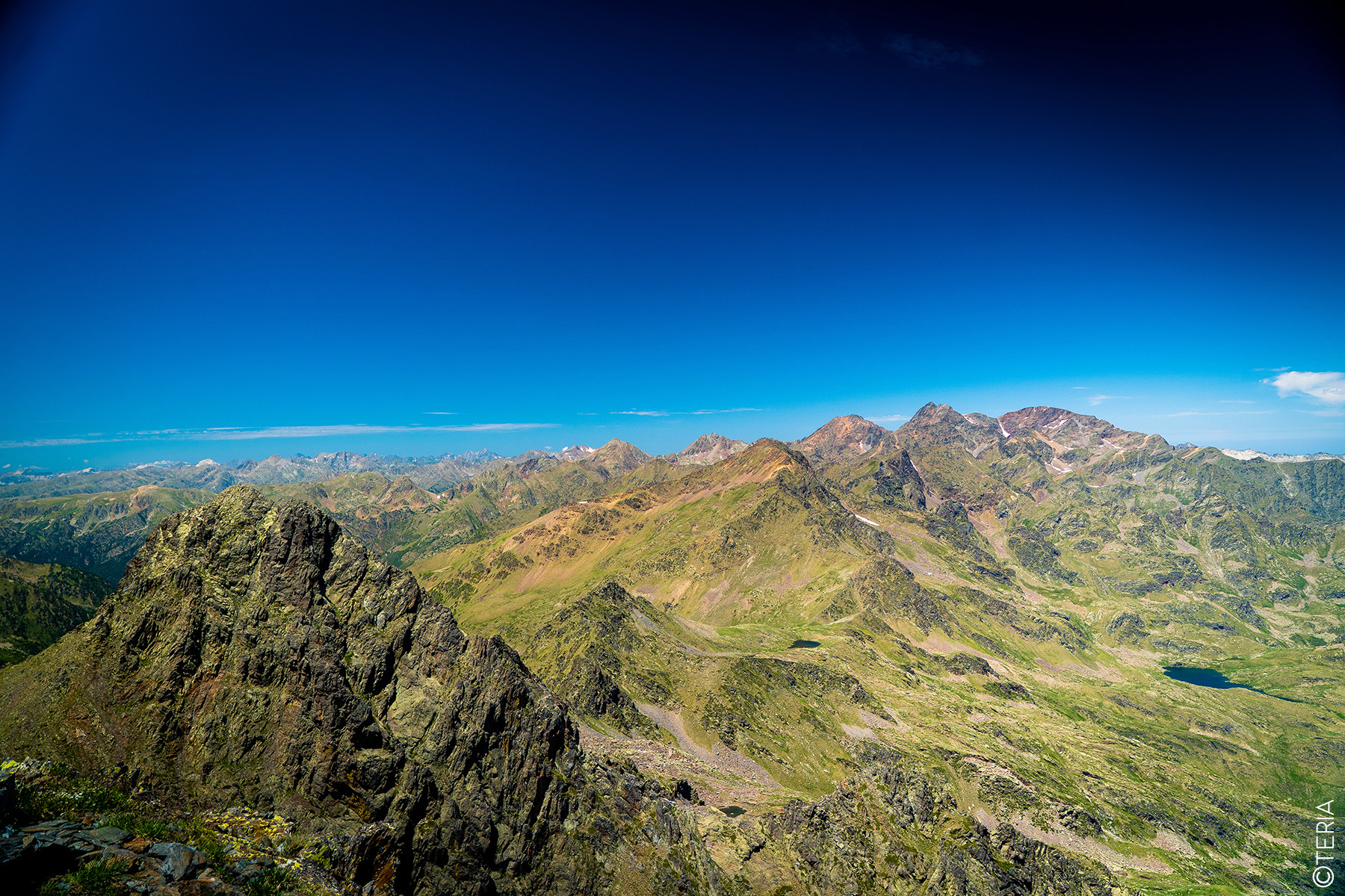
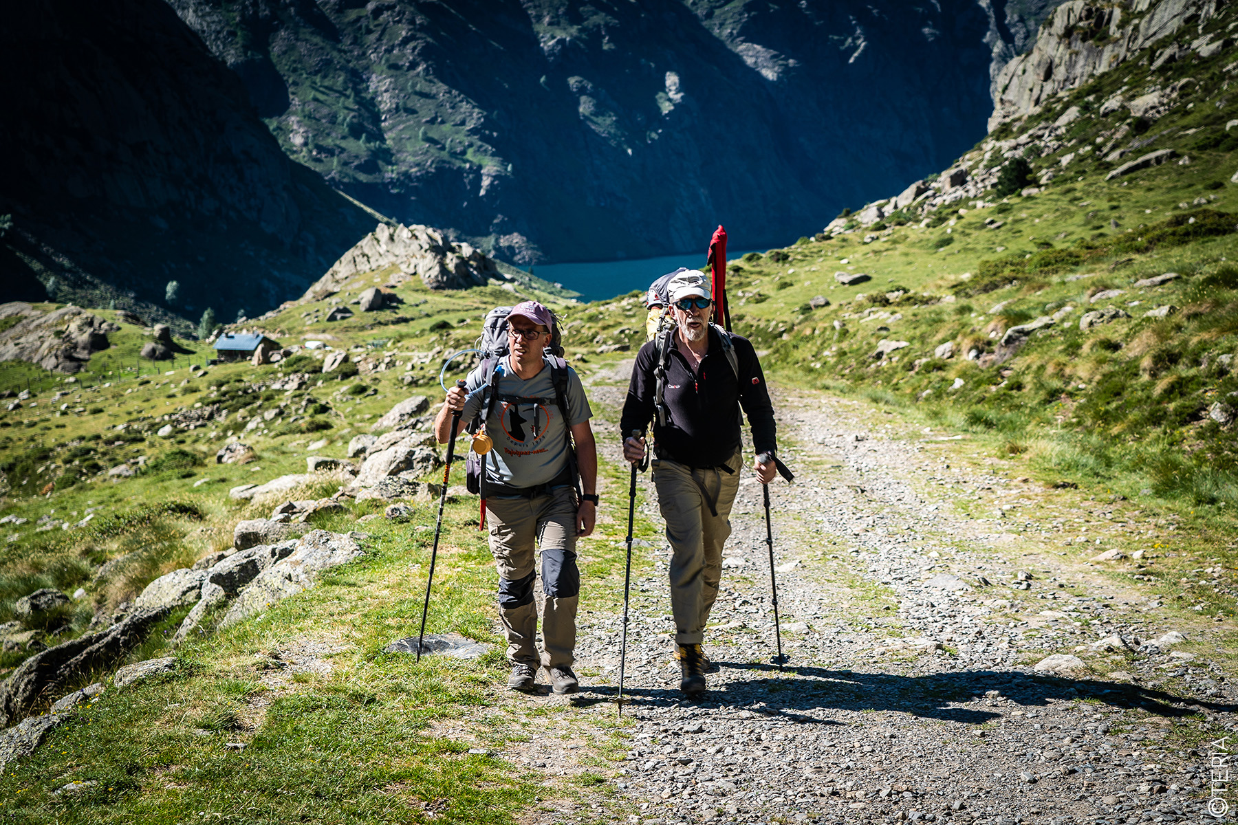
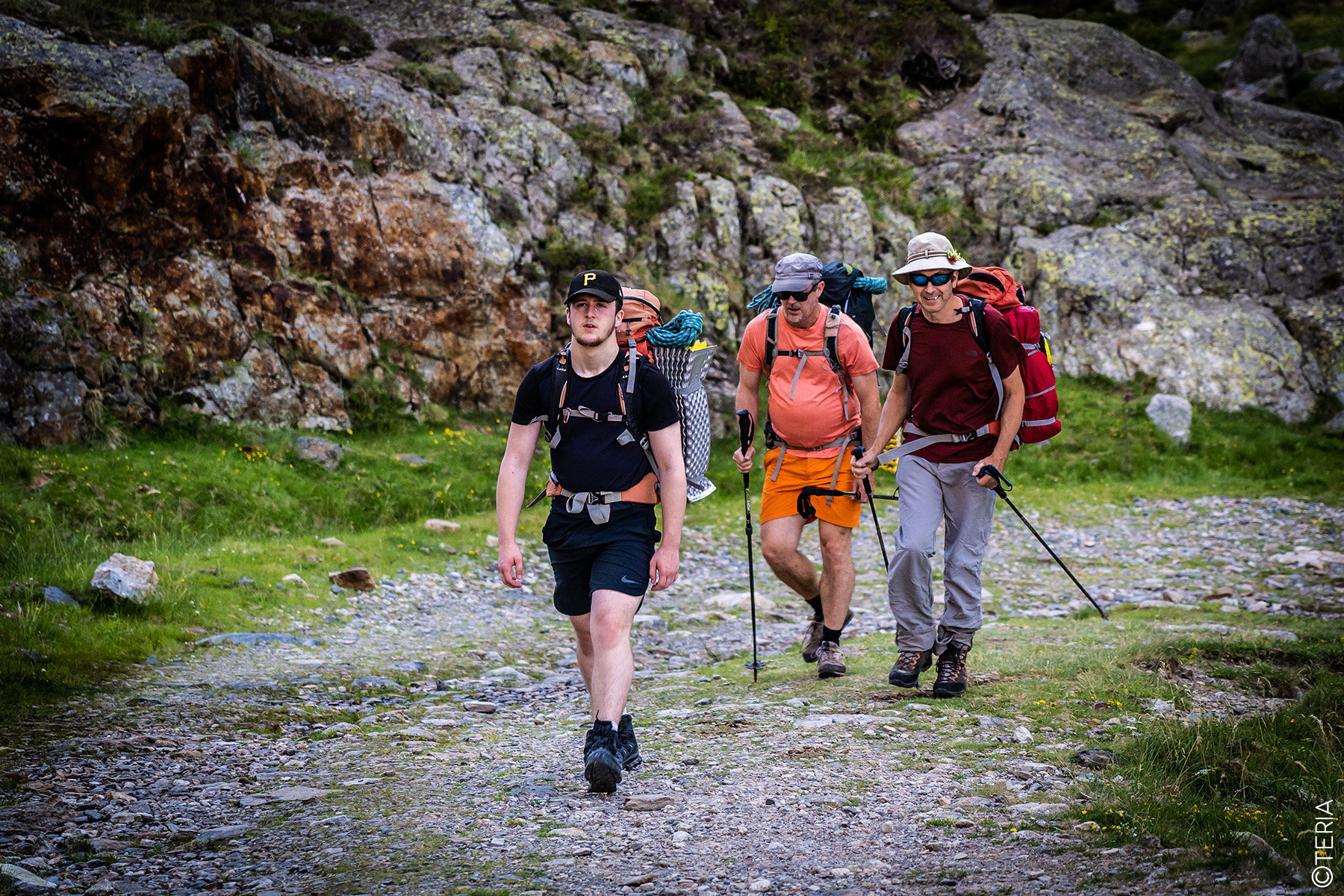
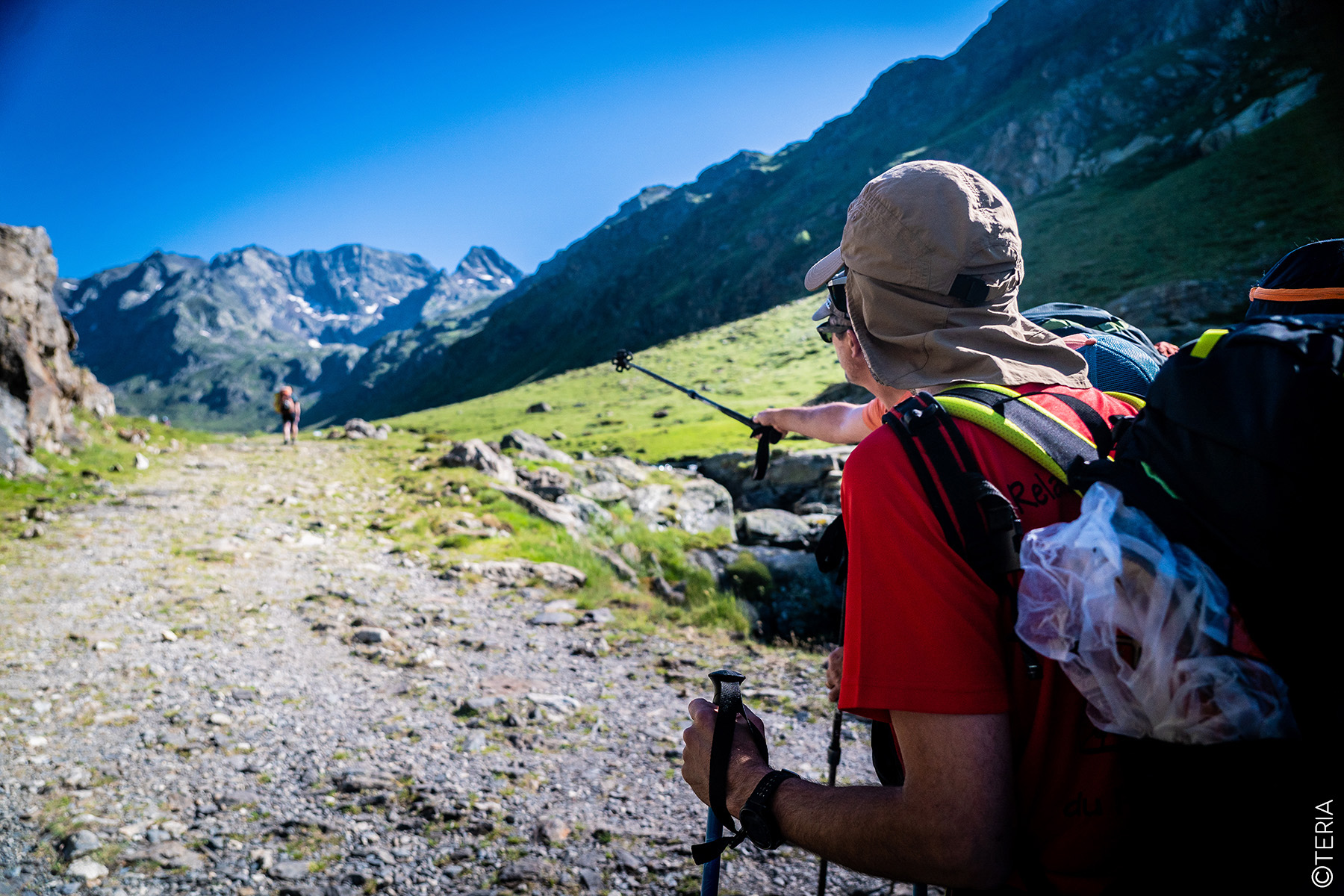
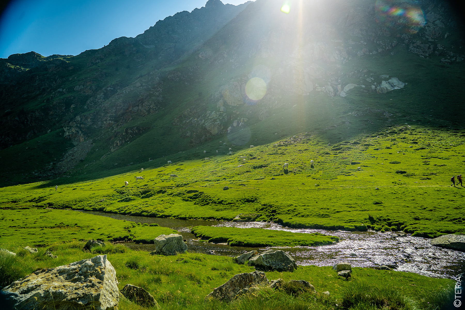
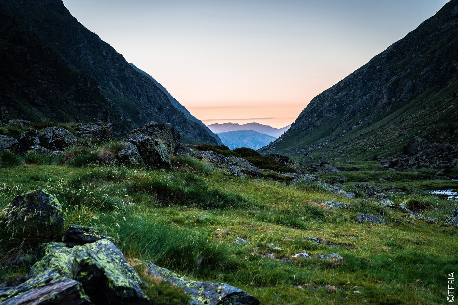
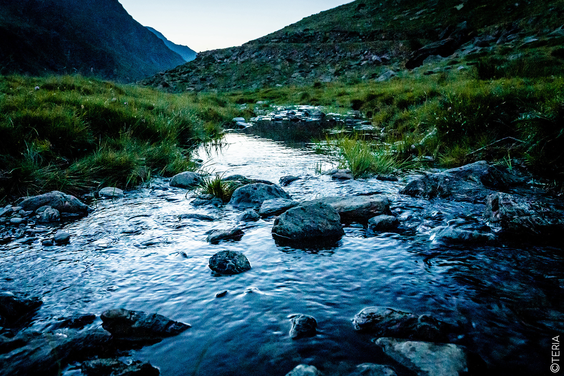
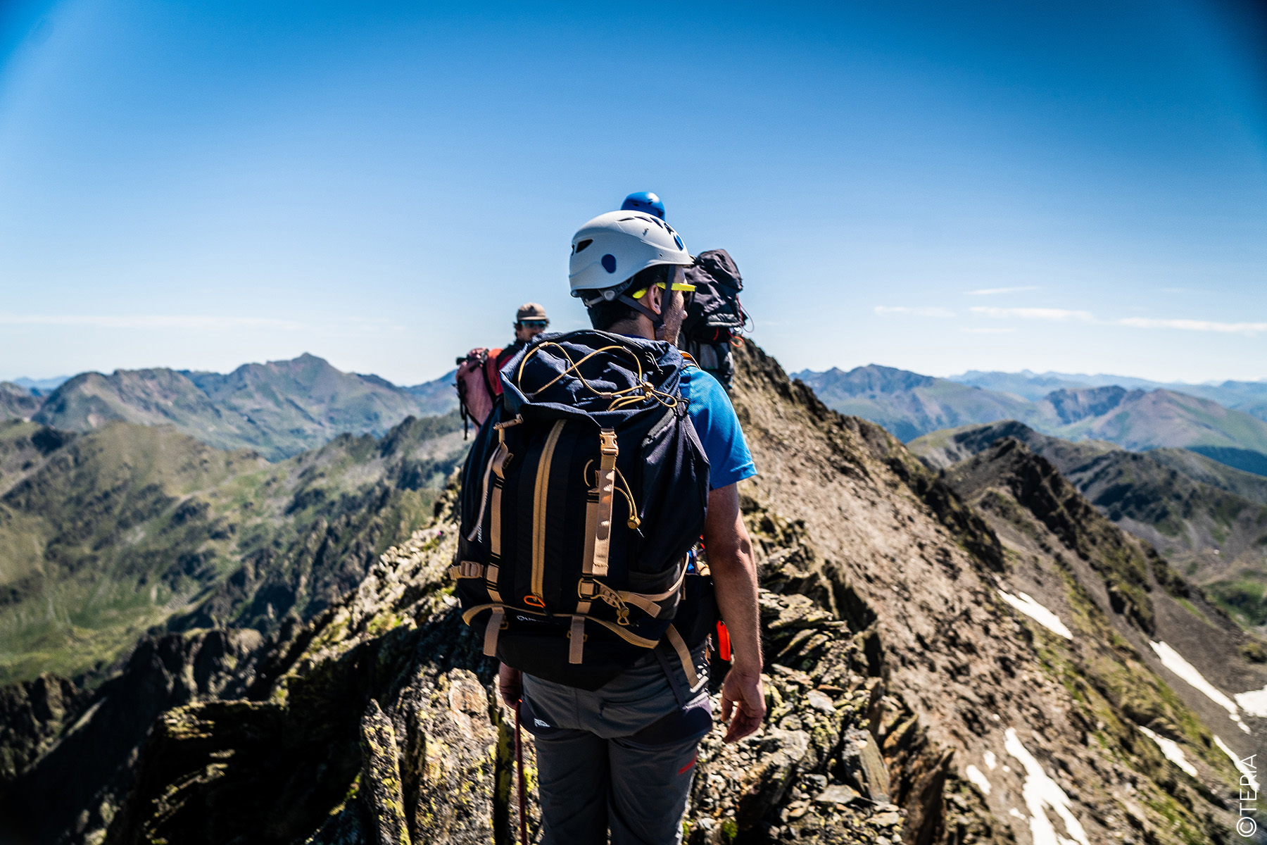
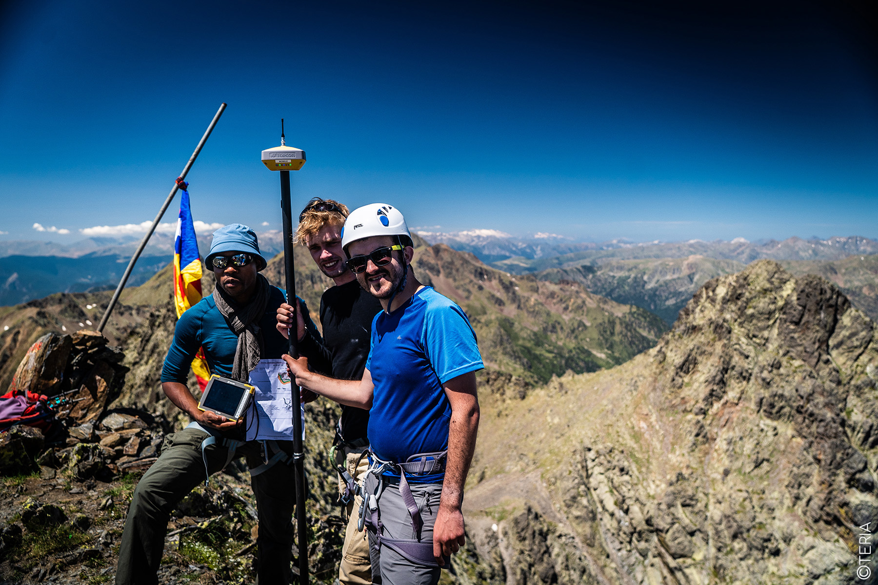
After several hours’ walking under clear skies and through breathtaking Pyrenean scenery, the teams left their respective bases to begin the ascent to the summit of the Pic de Médécourbe. Each group followed a different route, some more arduous than others, but all reached the meeting point on time. Once they were all together, in an atmosphere of camaraderie, the experts deployed their geo-positioning equipment to begin the measurement phase.
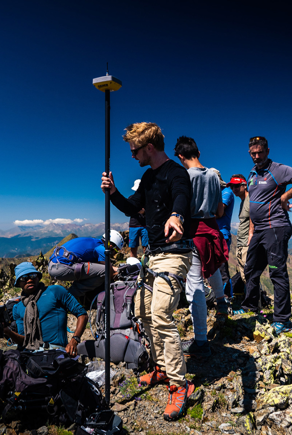
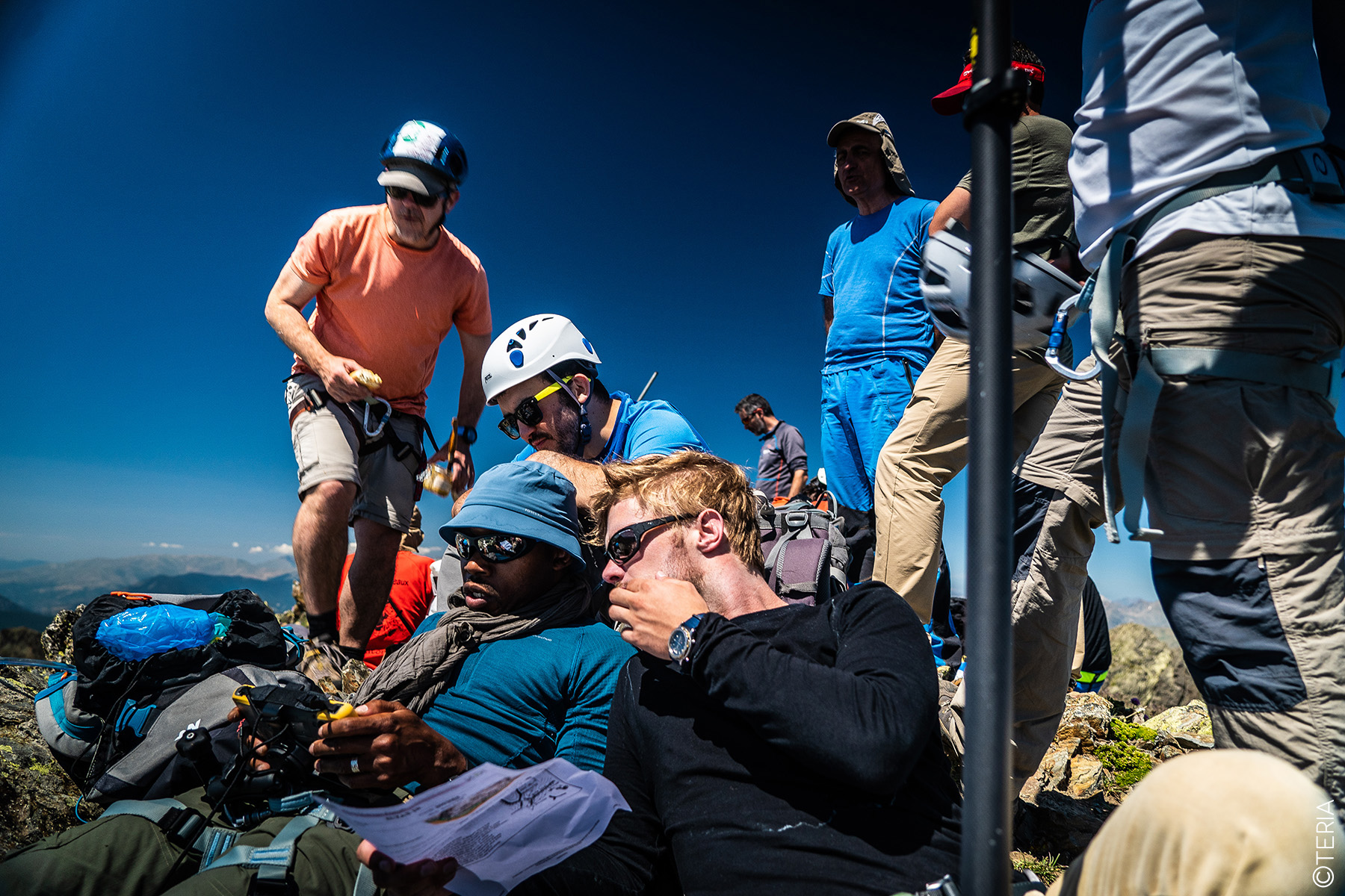
In this temporary ‘office’ perched on the summit, the specialists began by analysing the IGN mapping data, confirming that the old geodetic marker had indeed disappeared. To mark the altimeter summit, a metal rod was firmly embedded in the rock, then measured using GNSS tools.
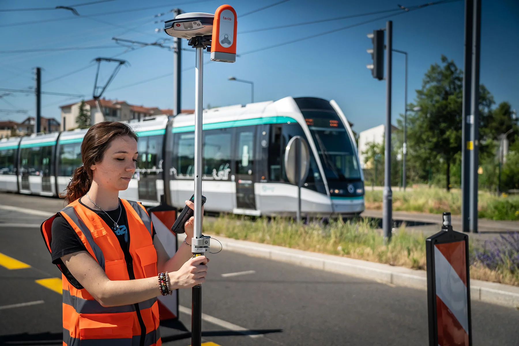
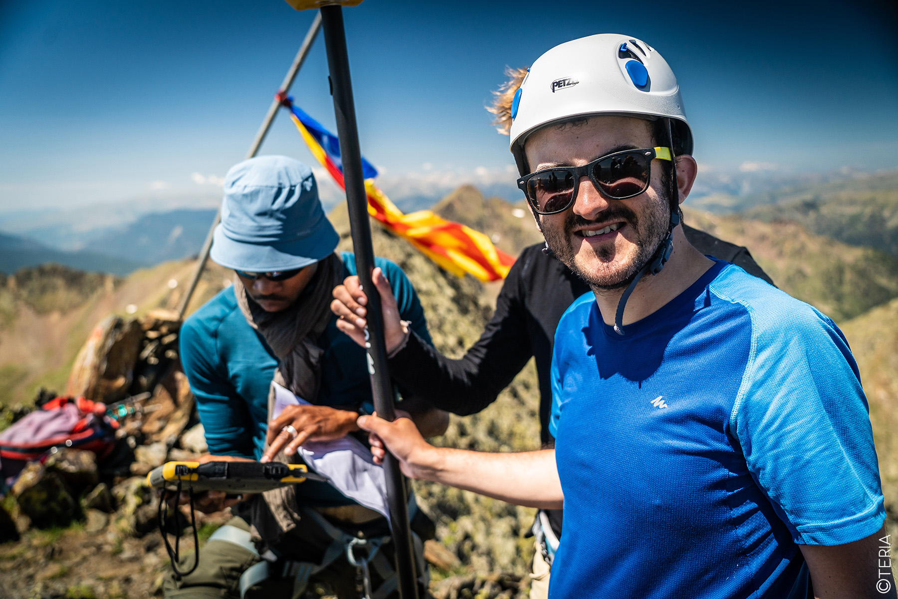
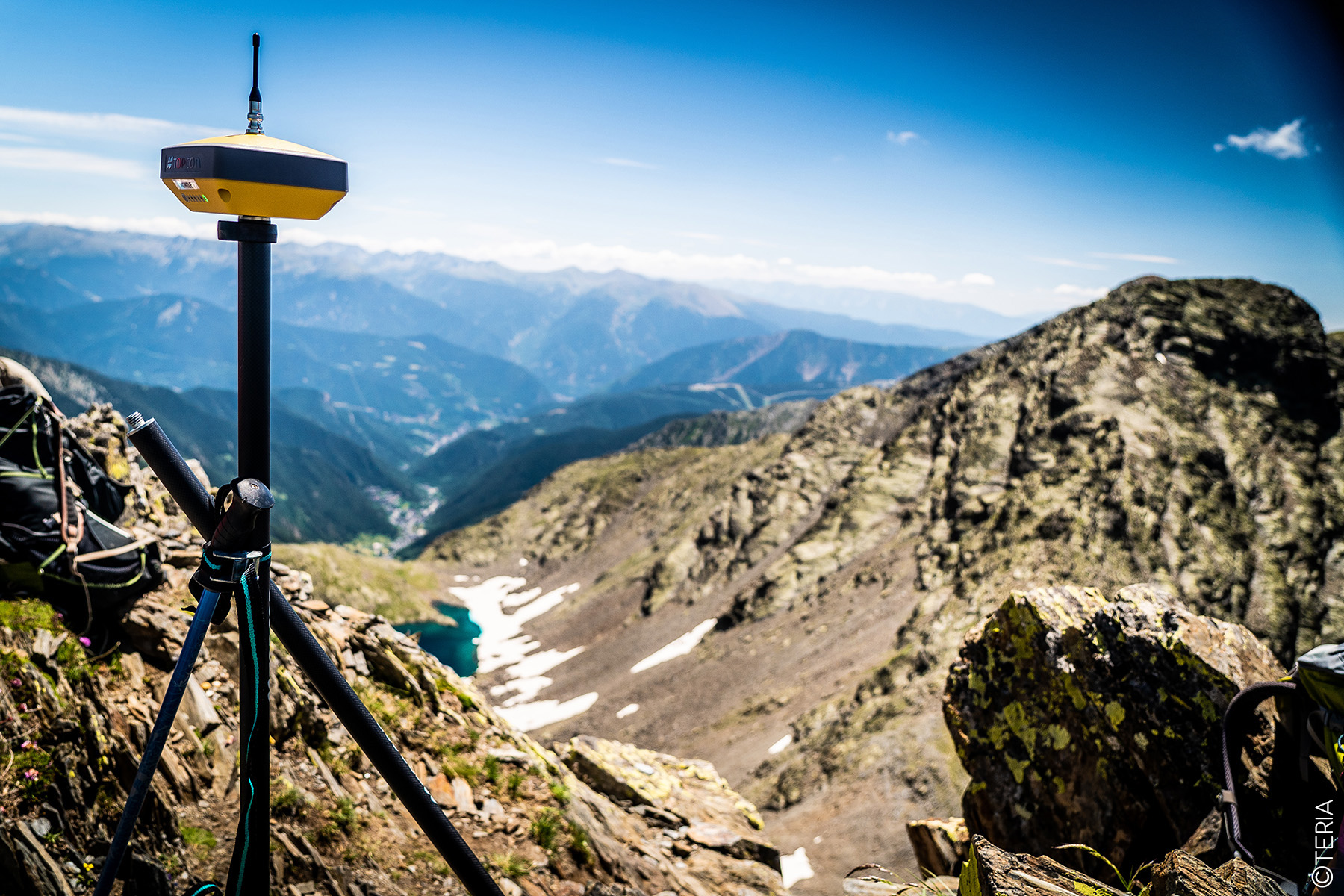
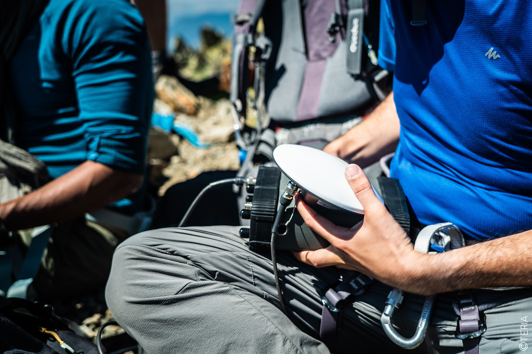
The French team, equipped with state-of-the-art technology, used the HiPer VR GNSS receiver and the FC 5000 field notebook from TOPCON, both connected in real time to the TERIAsat service via the TERIA TERMINAL. (Photo of the summit and the equipment used).
In addition to the real-time measurements, sequences of satellite data were recorded for subsequent post-processing. It is important to note that these operations were carried out in the absence of the Galileo network, which was temporarily out of service, demonstrating that the TERIA network can provide accurate geolocation solutions even without a full constellation of satellites.
The TERIAsat service fully demonstrated its effectiveness, initialising measurements in just a few seconds, and confirmed its unique advantage in enabling real-time determination in white areas not covered by telephone networks.
The topographical survey was officially completed at 1pm on Tuesday 24 July.
The Pic de Médécourbe rises to 2,913.80m.
And the coordinates of the point (Lambert 93)
571980.16m E // 6168376.36m N
From now on, these coordinates will be the reference in geodesy and cartography.
571980.16m E // 6168376.36m N
A tribute
Michel Sébastien, often referred to as the“voice of Ariège“, played a crucial role in raising the profile of the Pic de Médécourbe, a peak that he helped to make known beyond its borders. Passionate about the Pyrenees, he has devoted his life to defending this mountain range and its unique biodiversity. His commitment to preserving natural spaces led him to initiate the creation of a European cross-border area, the Three Nations Pyrenean Park, bringing together Andorra, France and Spain.
The park, which covers almost 400,000 hectares, includes such outstanding areas as the Alt Pirineu Nature Park, the Ariege Pyrenees Regional Nature Park and the Sorteny Valley and Comapedrosa Valley Local Nature Parks. It is home to natural wonders such as Mont Rouch, Mont Valier, the Cagateille cirque, the Ars waterfall, the Pique d’Estats, Montcalm and, of course, the Pic de Médécourbe, a distinctive peak with three slopes stretching over three different nations. These majestic mountains, several of which rise to over 3,000 metres, are a symbol of the natural and cultural wealth of the Pyrenees.
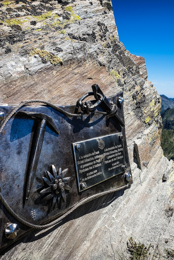
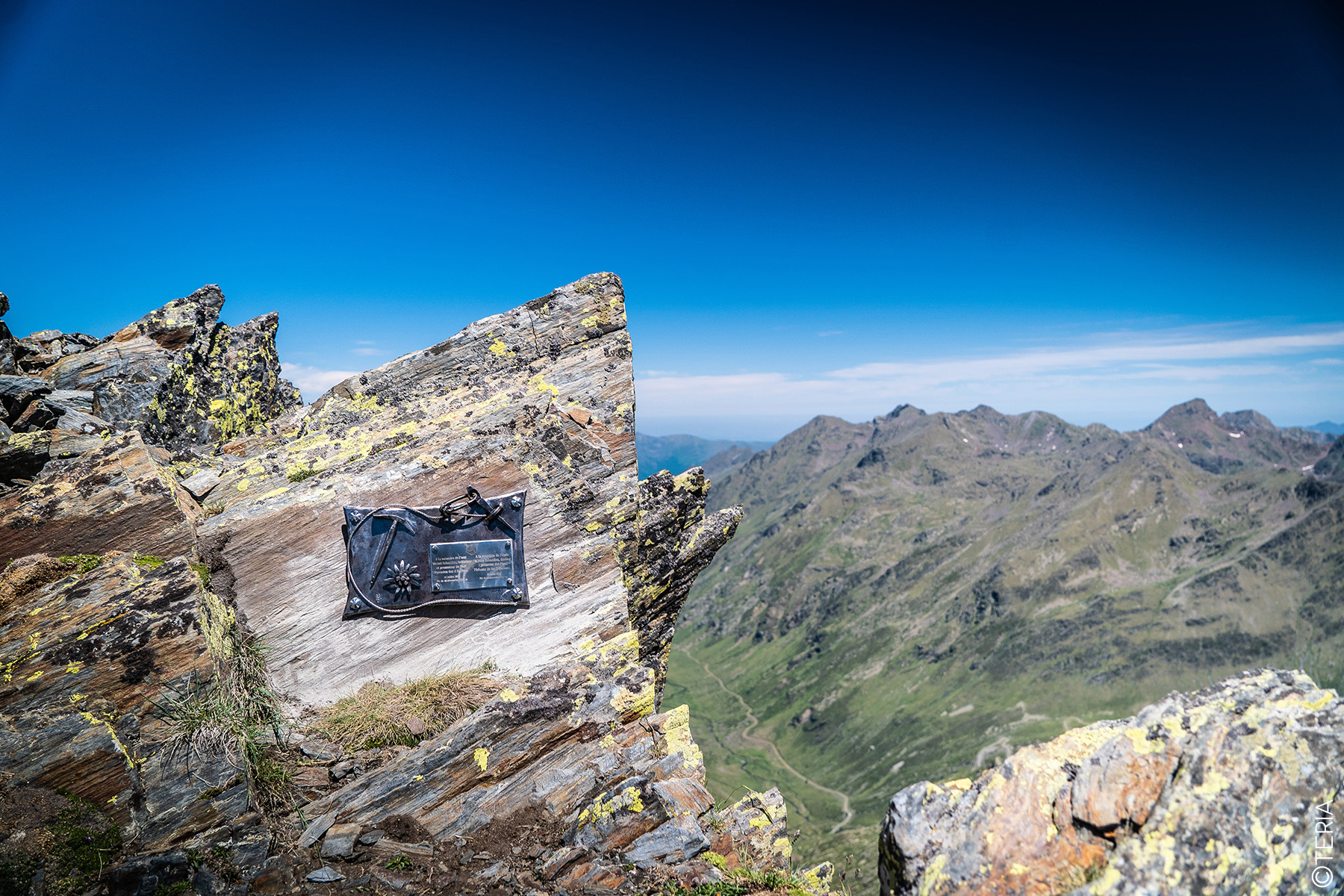
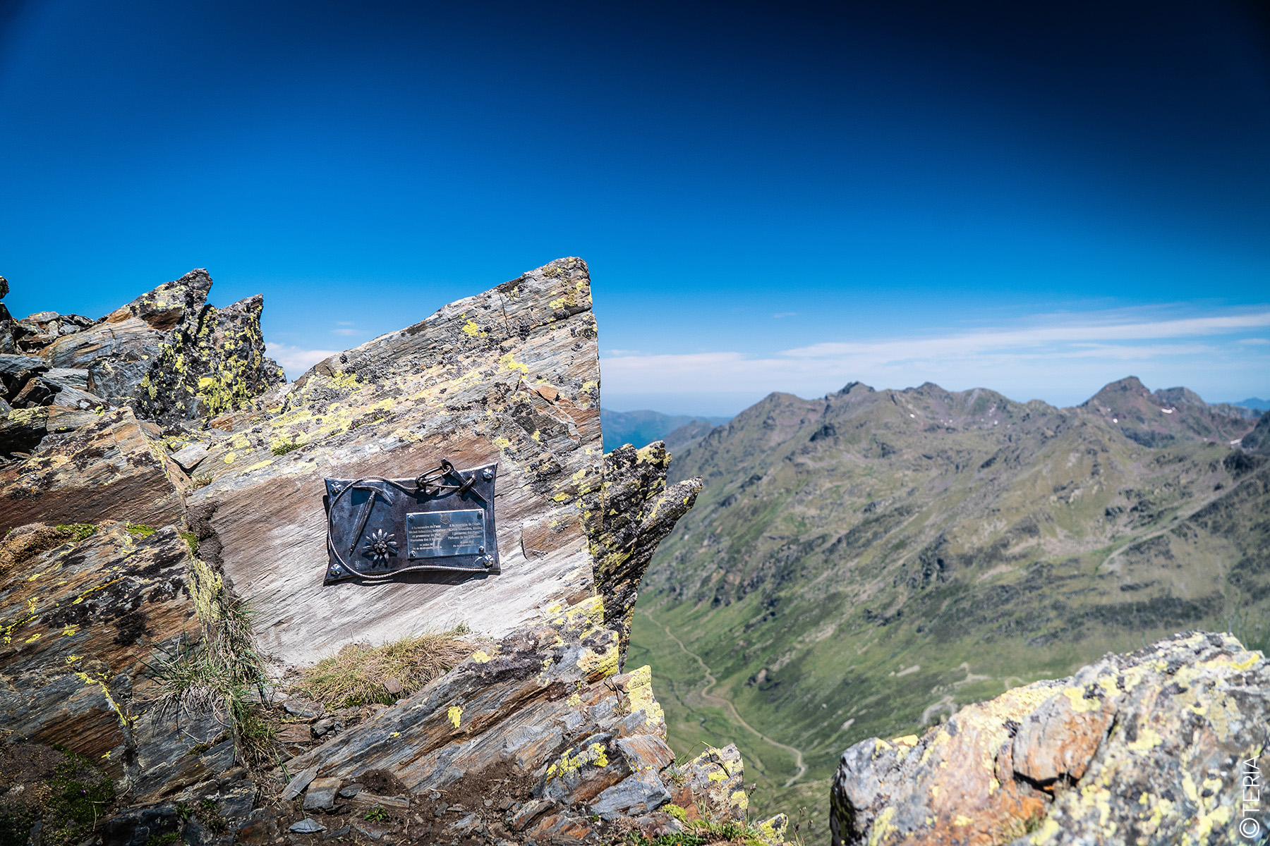
The unique topography of the Pic de Médécourbe, with its slopes spread across France, Andorra and Spain, particularly fascinated Michel Sébastien. In recognition of his tireless work to protect the Pyrenees, a symbolic ascent was organised, bringing together teams from the three neighbouring nations. The climb was more than just an exploration, it was a tribute to this exceptional man. To mark the occasion, a commemorative plaque was set in the rock at the summit of the Pic de Médécourbe, a place that owes much of its fame to him.

Did you enjoy this article?
Feel free to share it.