

- 2019 GNSMART Conference
- 2019 GNSMART Conference
- 2019 GNSMART Conference
- 2019 GNSMART Conference
- 2019 GNSMART Conference
2019 GNSMART Conference

France hosts the 2019 GNSMART Conference
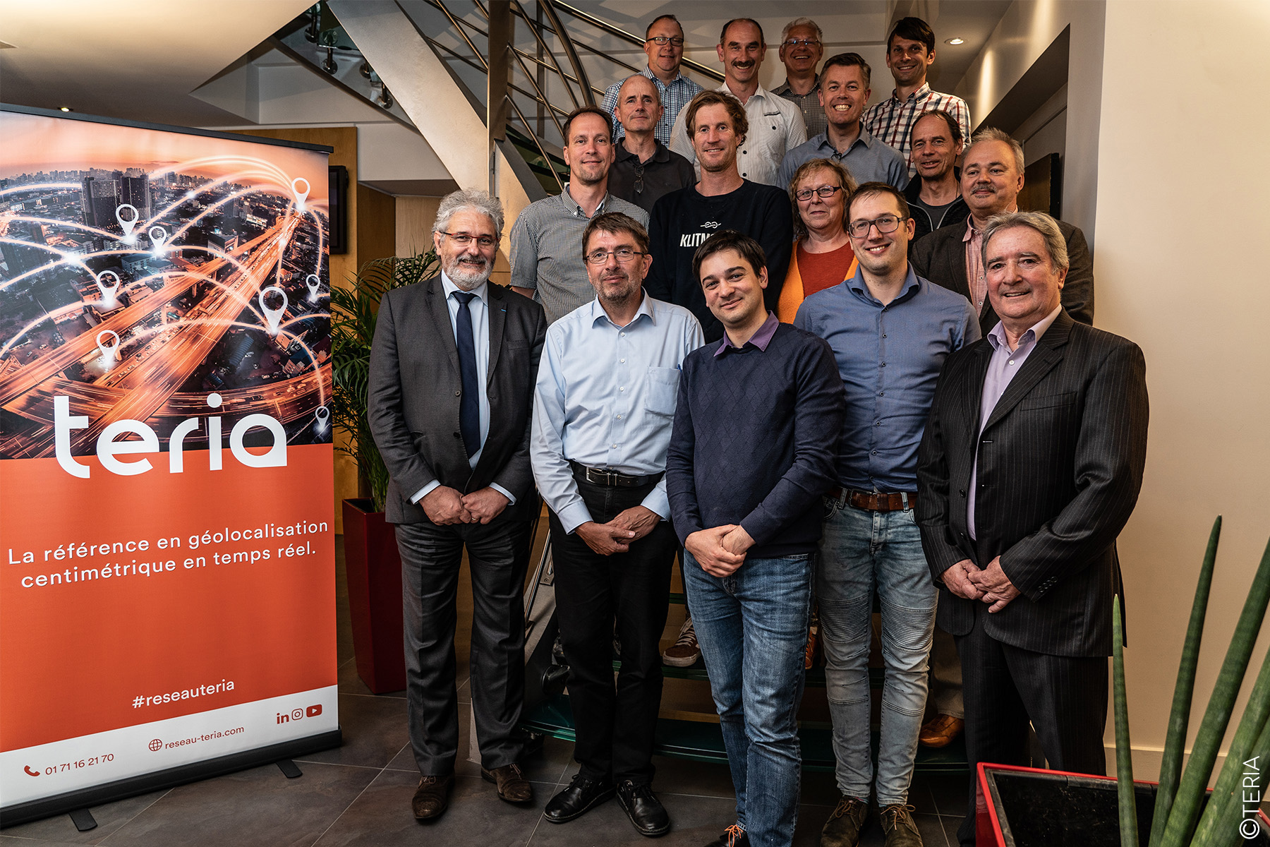
Discussions on the cutting-edge GNSMART software
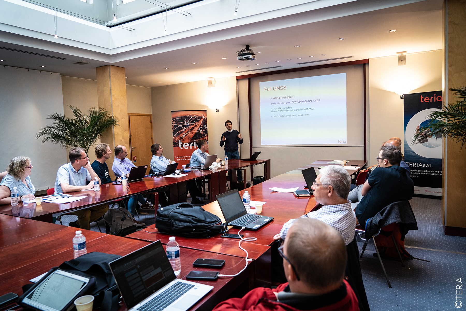
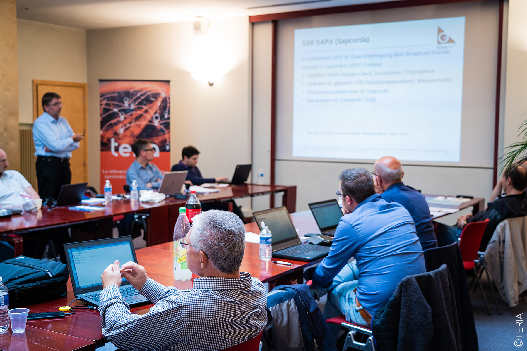
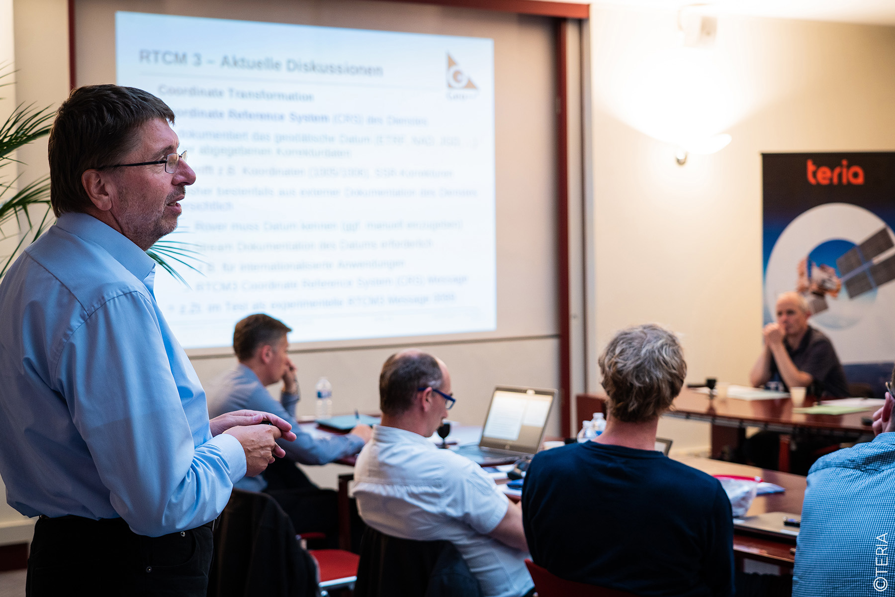
The first day of the conference was devoted entirely to an exhaustive review of GNSS standards, followed by an update on the latest regulatory and technical developments. Participants were able to review current standards, while discussing forthcoming new directives, ensuring that GNSMART software is used in a compliant and optimised manner.
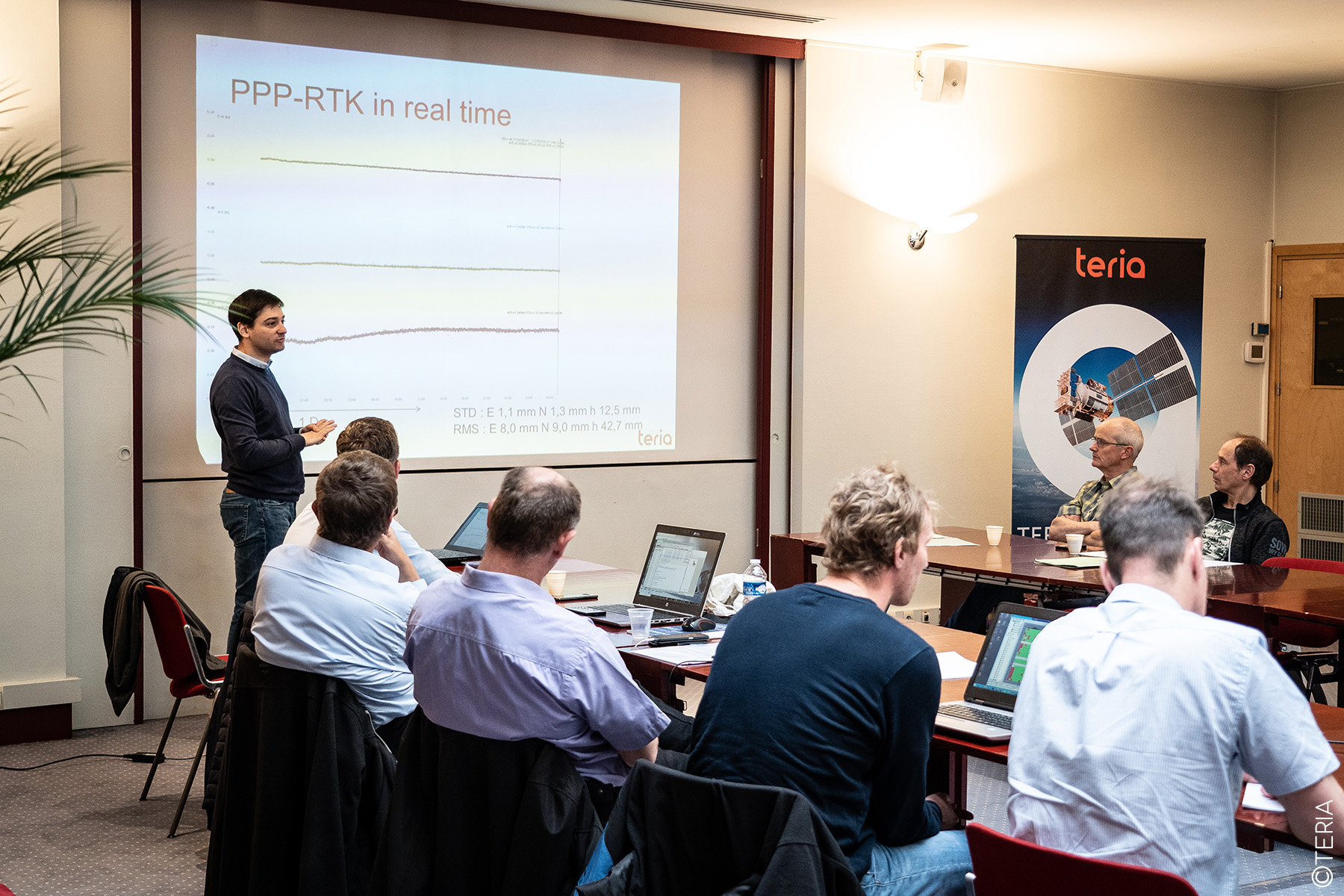
The second day took a more interactive approach, encouraging collaboration and exchanges between experts. Discussions focused on various technical subjects, with the aim of making GNSMART software even more effective. Participants shared their experiences and best practices, while identifying areas for improvement for future versions of the software. The day provided an opportunity to address specific issues and work closely together to consider the developments needed to continually optimise the tool.
The conference was attended by several GEO members, representatives of the Dutch cadastre, and delegations from two private entities in the Netherlands and Austria. Members of the regional and national teams of the SAPOS network in Germany were also present, providing their expertise and feedback.


The event ended with a cultural visit to the Arc de Triomphe, offering a convivial conclusion to two days of intensive work.
The 2019 edition of the GNSMART conference was a real success, strengthening ties between participants and opening up new perspectives for software development. TERIA would like to warmly thank all participants for their attendance and commitment.
What is GNSMART?

GNSMART software is a pioneering innovation, being the first in the world to offer the ability to provide a regional coverage service via PPP-RTK(Precise Point Positioning-Real-Time Kinematic) corrections in SSR (State Space Representation) format. This revolutionary technology enables centimetric positioning in real time, opening up new prospects for applications requiring extreme precision.
GNSMART, an acronym for Global Navigation Satellite System – State Monitoring And Representation Technique, processes data transmitted by GNSS (Global Navigation Satellite Systems) systems, which provide high-resolution observations. However, these observations are often affected by various errors, such as satellite and orbit errors, which can compromise their accuracy.
GNSMART’s essential role is to correct these initial errors. In addition, the software goes a step further by modelling the overall state of the navigation system, taking into account regional atmospheric effects such as ionospheric and tropospheric disturbances. These atmospheric corrections are then distributed in the form of data streams in SSR format, guaranteeing unrivalled accuracy, optimum reliability and continuous availability of the data, whether for real-time use or post-processing.
For the user, GNSMART is as simple as possible: no in-depth knowledge of the system’s internal structure is required. Thanks to the modelling data provided by the software, the user benefits from observations that are free of systematic errors, enabling him to determine absolute positions with high, consistent accuracy. What’s more, this accuracy is achieved with a single mobile instrument, without the need for nearby local stations, making GNSMART technology not only powerful but also extremely affordable.











Did you enjoy this article?
Feel free to share it.