
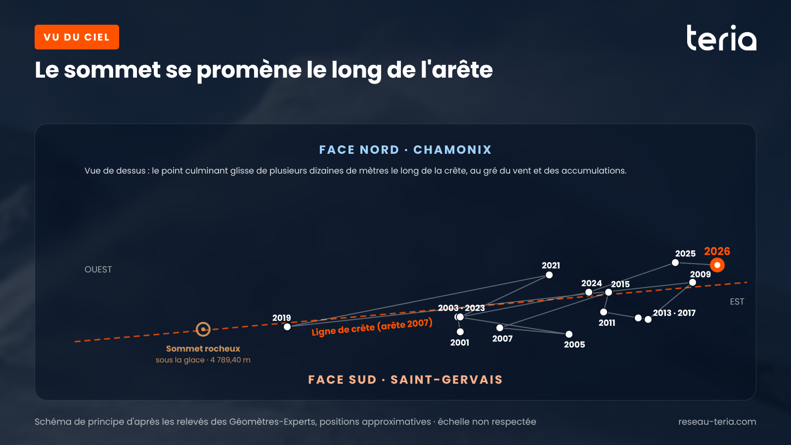
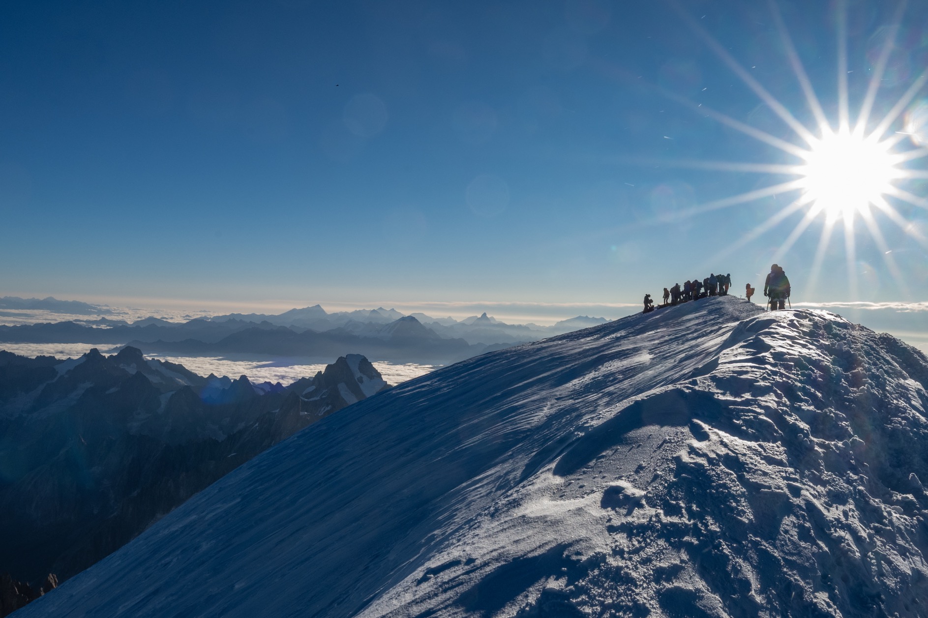
The idea of looking beneath the summit is not a new one. On 25 May 2004, the glaciologist Christian Vincent, from the Grenoble Laboratory of Glaciology and Environmental Geophysics (LGGE), had surveyed the ice cap using radar. He then pinpointed the rocky summit at 4,792 m, some forty metres to the west of what was, at the time, the snow-covered summit.
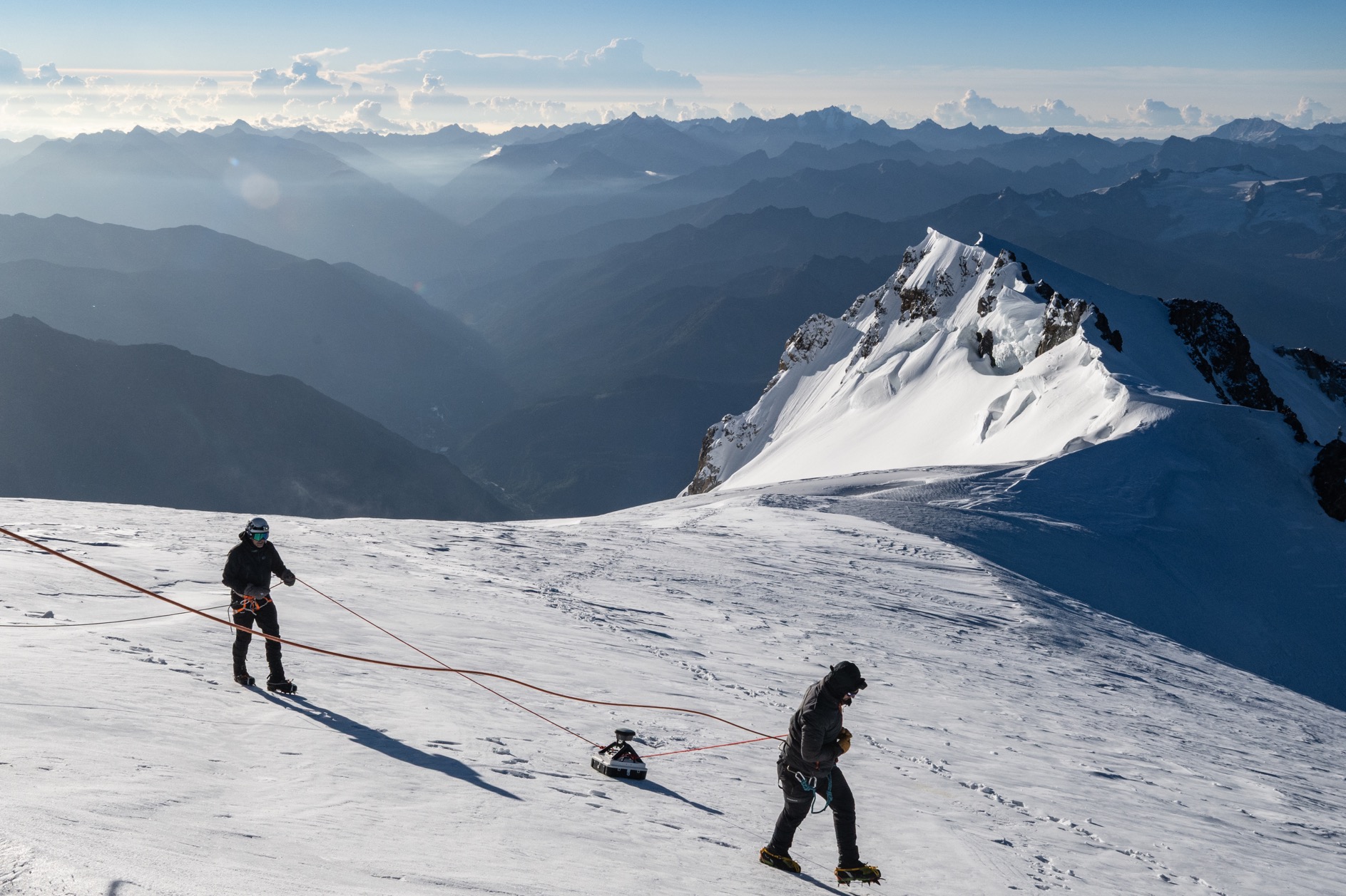
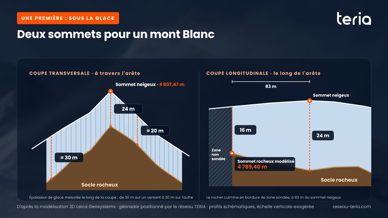
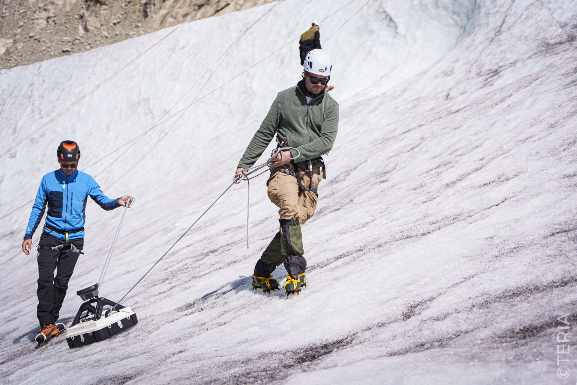
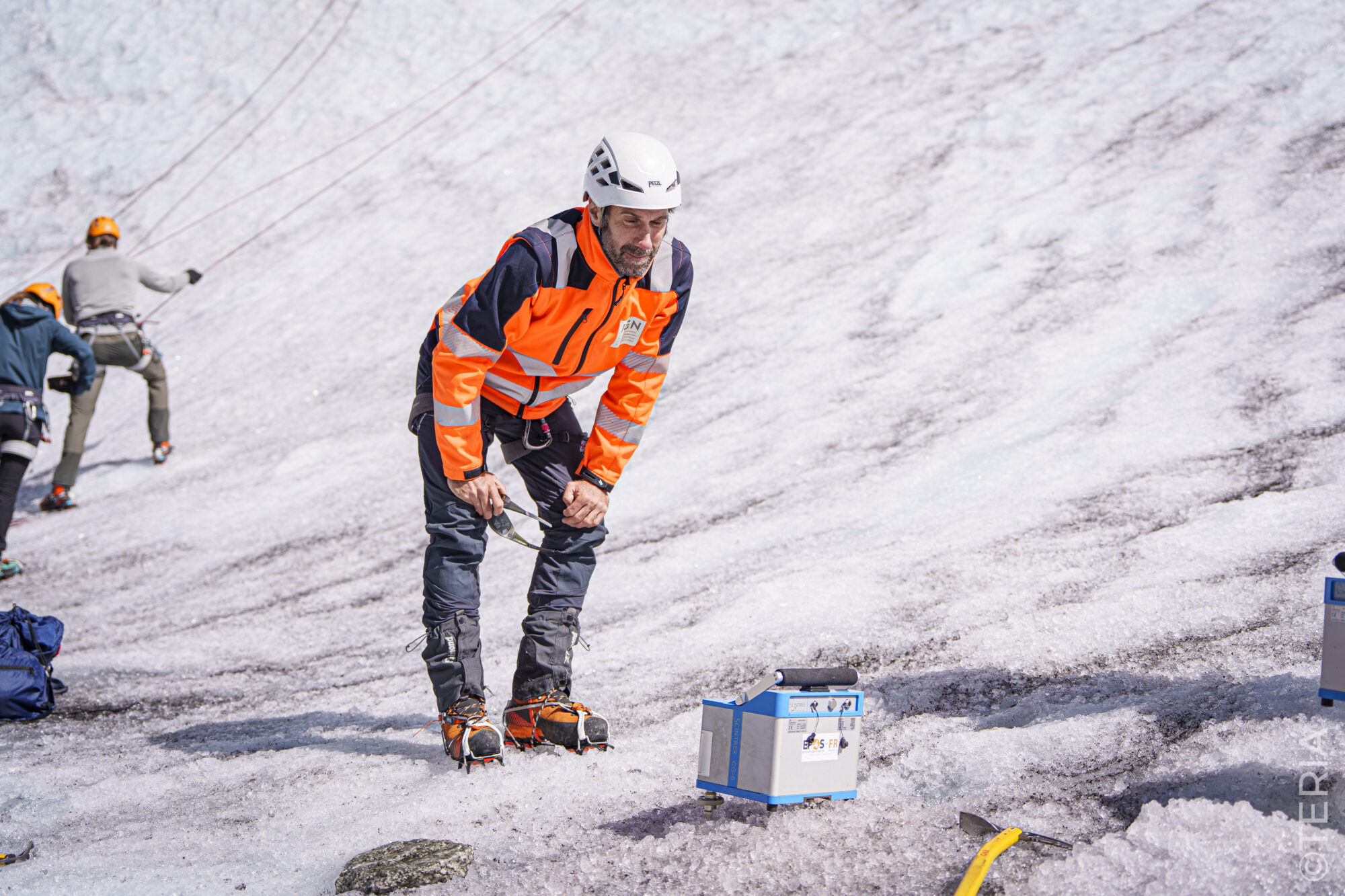
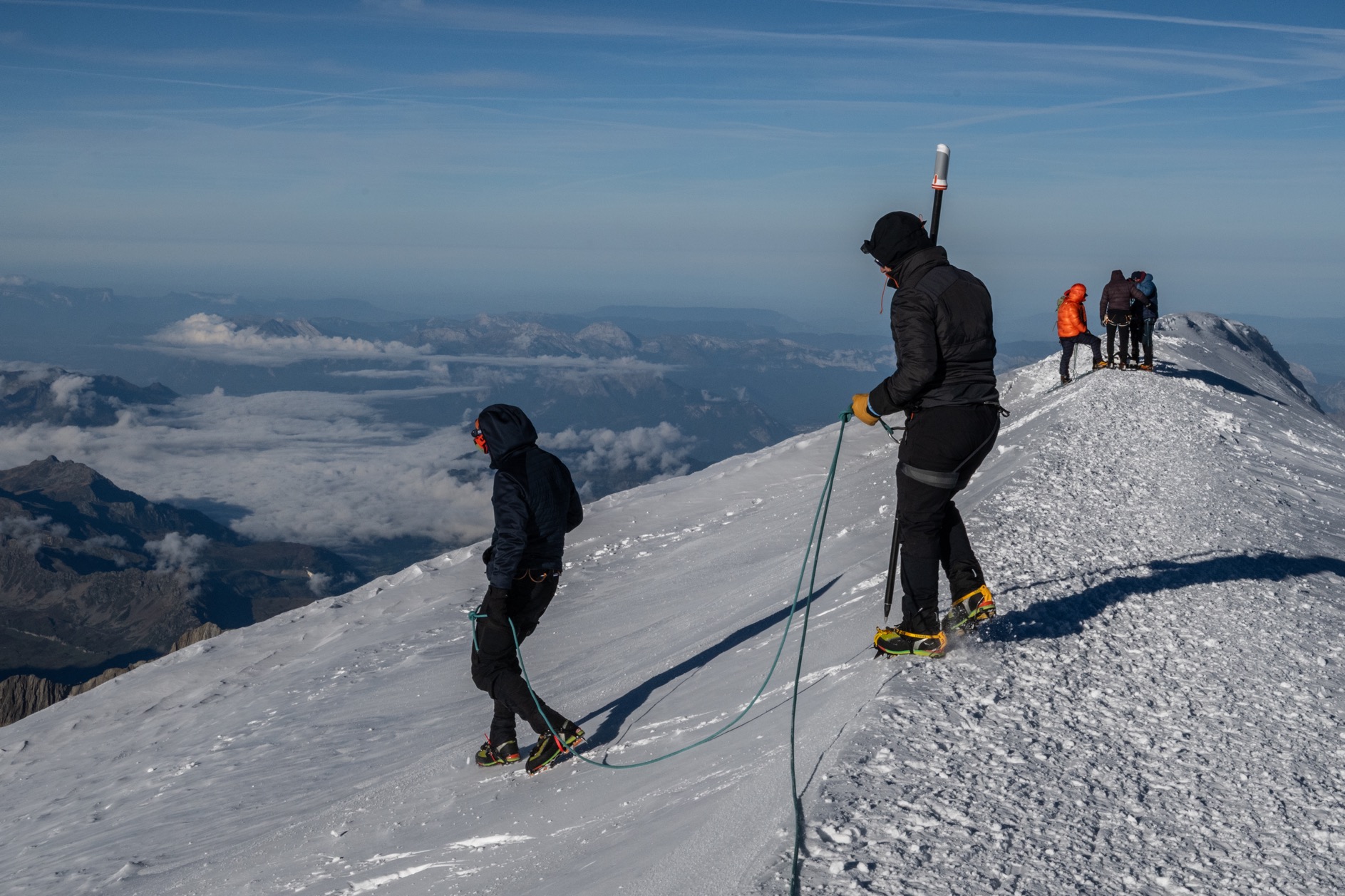
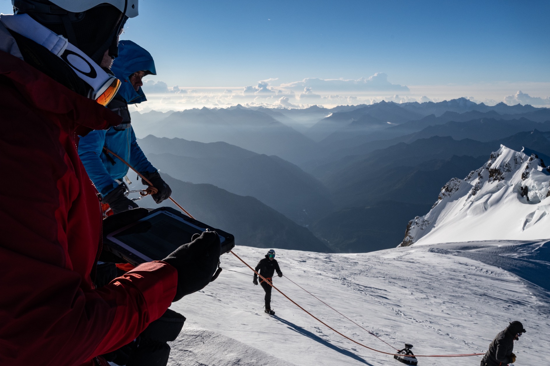
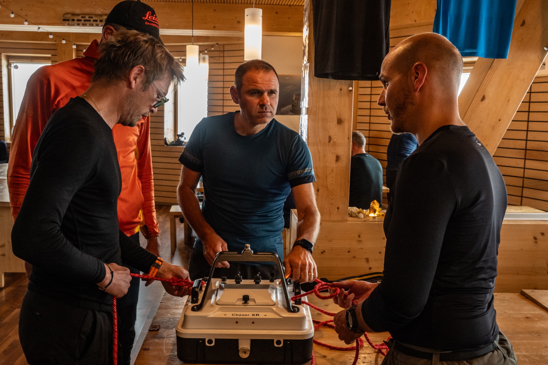
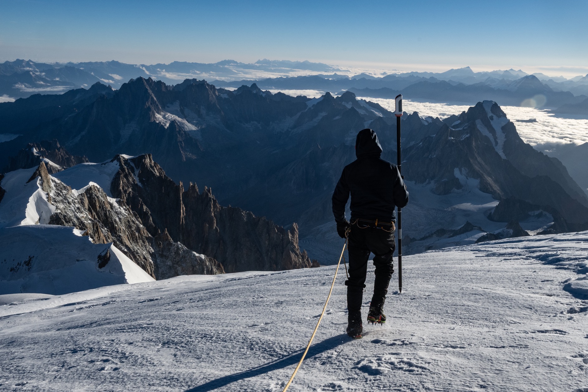
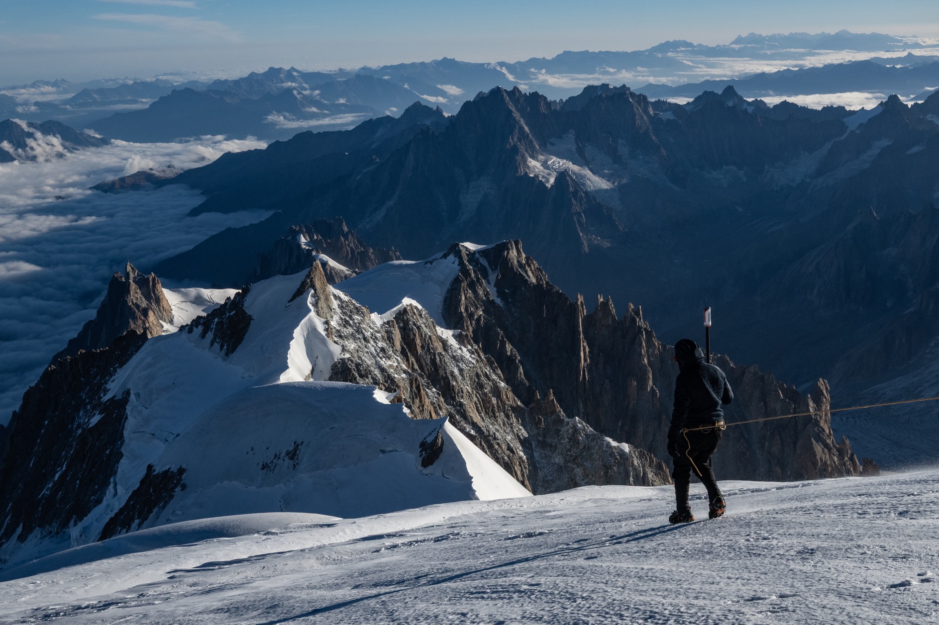
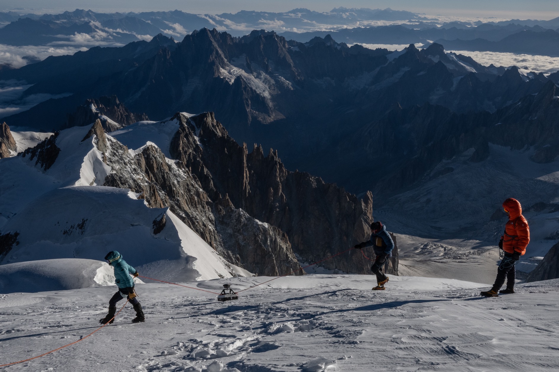
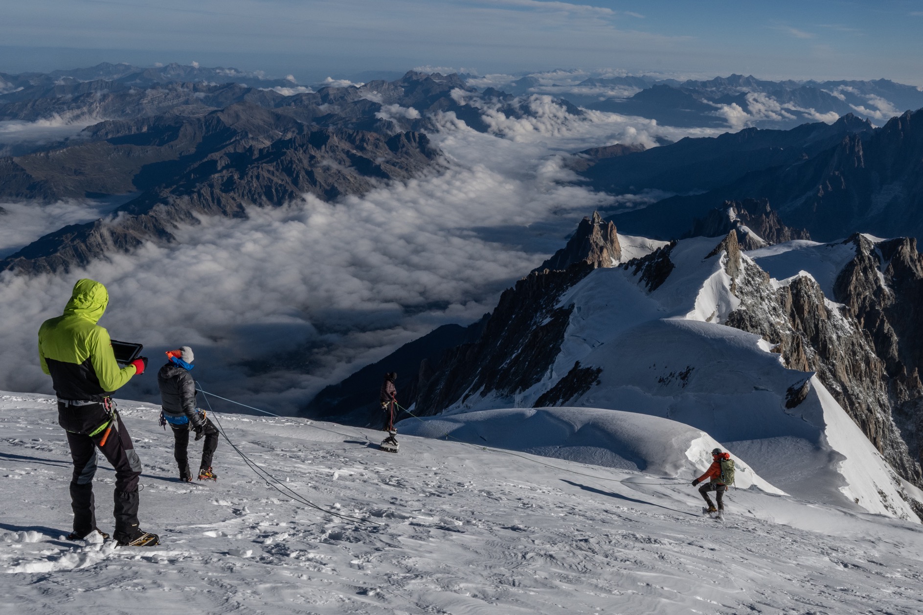
In 2026, for the first time, the French Expert Surveyors were able to see beneath the ice themselves, using their own methodology. By cross-referencing the surface area measured by drone with the depth measured by ground-penetrating radar, the bedrock was successfully modelled during this expedition. Directly beneath the snow-capped summit, the ice is 24 metres thick. Across the ridge, its thickness varies from around 30 metres on one slope to 20 metres on the other.
Contrary to what one might think, the summit we stand on is therefore not directly above the rocky summit. Along the ridge, the highest point of the modelled rock rises to 4,789.40 m, beneath 16 m of ice, 83 m from the snow-capped summit.
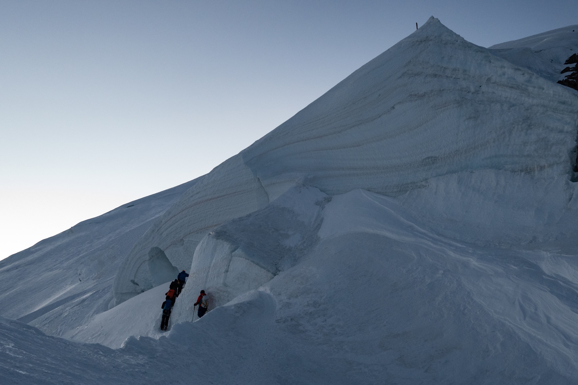
Between the two, the rock remains almost flat: it is the ice, sculpted by the wind, that forms the highest point.
And the story is undoubtedly not over yet. The highest point of the modelled rock lies on the edge of the surveyed area, and the rock could continue to rise beyond this point, which would match the elevation of 4,792 m recorded in 2004.
‘The Mont Blanc of ice’ and ‘the Mont Blanc of stone’ are therefore not in the same place.


Did you enjoy this article?
Feel free to share it.