
Subscriptions and Services
Subscriptions and Services
Subscriptions and Services
 +
+
+
+
+
+
+
+
+
+
+
+
+
+
+
+
+
+
+
+
+
+
+
+

Discover our solutions: PPP – RTK TERIA; TERIAsat; TERIArinex; TERIAmove …

TERIA offers services tailored to the needs of its customers, depending on their field of activity. Find out more about our solutions:
TERIA’s PPP – RTK service;
TERIAsat , the 100% satellite solution
and TERIArinex.

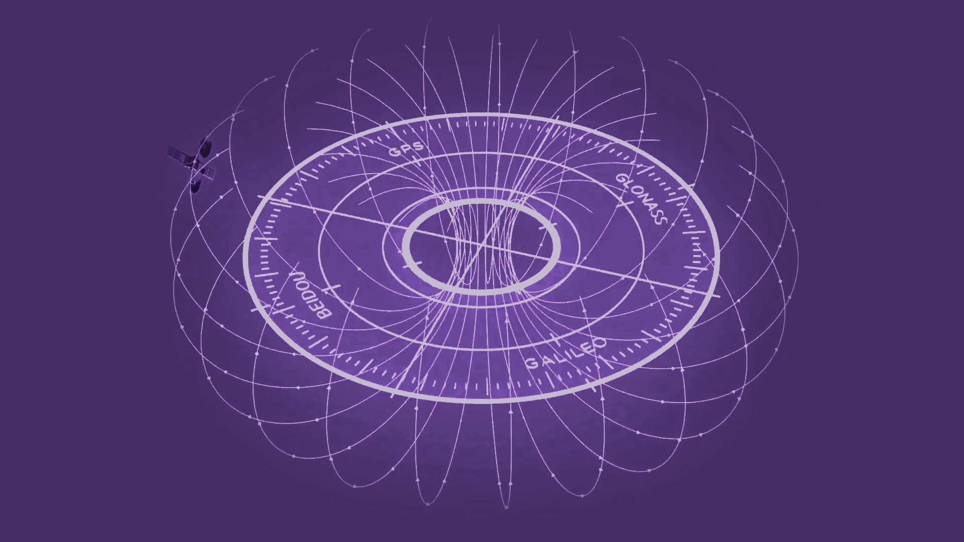
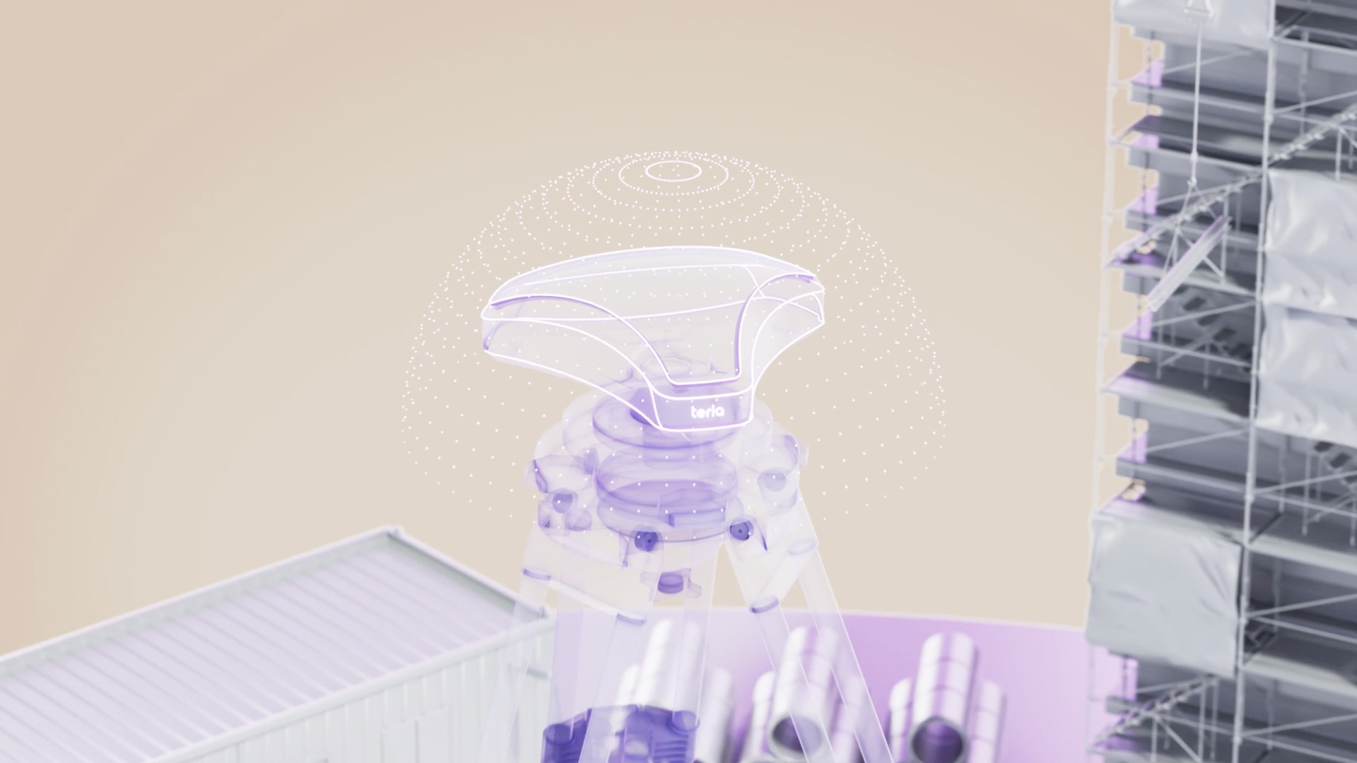
TERIA is a precision satellite positioning service. GNSS positioning allows you to position yourself with metric precision at global level. Our service corrects these signals to enable the GNSS receiver to provide centimetre-precision positioning in a few seconds using RTK and N-RTK techniques.
To do this, we use standards such as the NTRIP protocol for data exchange and the RTCM format for disseminating corrections. The corrections are available via the Internet, so our processing servers are in the Cloud to offer you a 24/7 service. Information on the coverage area of this service can be found on the network page.

.02 TERIAsat
A private satellite link to put an end to “dead areas” thanks to L-BAND
TERIAsat is a service for transmitting corrected data with centimetre accuracy via a private satellite link. TERIAsat can be used to serve areas not covered by telephone operators.
Corrections are sent via geostationary satellites and converted to N-RTK in RTCM format, enabling the receiver to work in RTK mode.
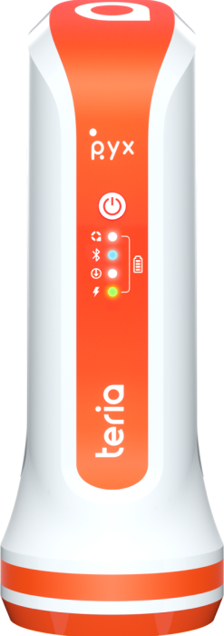
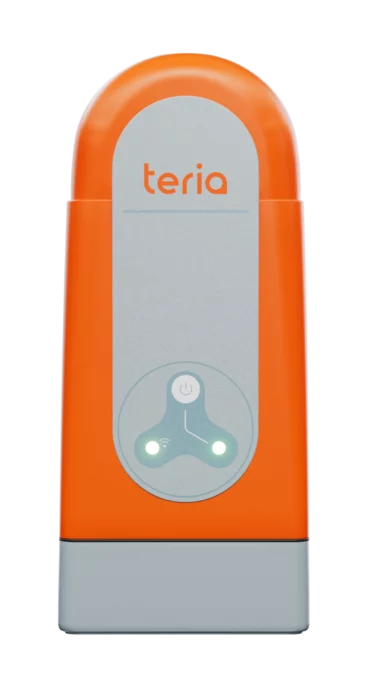
Corrections can be received either via an external box such as the TERIA Terminal, or directly in certain receivers incorporating a TERIAsat-compatible L-Band modem, such as the PYX.
The iTERIA Smartphone application provides an augmented reality display of the position of geostationary satellites, making it easy to identify masks.
.03 TERIArinex
Create several virtual databases…
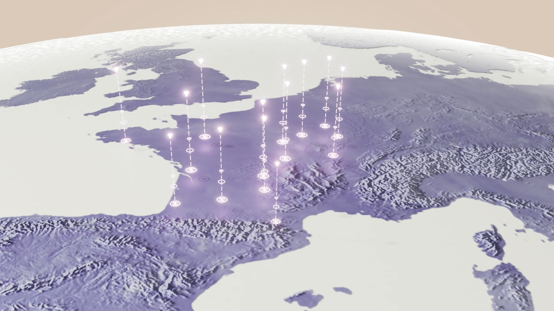
The standard format for recording GNSS data for use in post-processing is Rinex. These files enable differential processing of observations made by a GNSS receiver in static or dynamic mode.
TERIA can be used to generate observations for one or more virtual stations, providing a Rinex file for the entire network coverage area.
Here are two examples of how these virtual Rinex files can be used:
- Simulating observations from a pivot station located at the centre of a local worksite
- Generating several pivots during kinematic measurements carried out over a large geographical area
PYX
- solution PYX +
- solution PYX +
- solution PYX +
- solution PYX +
- solution PYX +
- solution PYX +
- solution PYX +
- solution PYX +
TERMINAL
- solution terminal +
- solution terminal +
- solution terminal +
- solution terminal +
- solution terminal +
- solution terminal +
- solution terminal +
- solution terminal +